Platform on civil engineering, underground infrastructure, energy, construction equipment & construction machinery
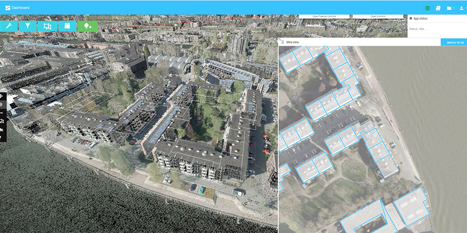
LiDAR is a lightning-fast 3D technology for, among other things, being able to accurately capture assets in public space. GeoSignum's Pointer Platform makes it possible to store, access, process, manage and visualize enormous LiDAR datasets. And all on the fly via web browser. No additional software or plug-ins are needed anymore.
"LiDAR datasets are a valuable source of information for companies active in the infrastructure sector," begins Dogan Altundag, founder and owner of GeoSignum. "For example, LiDAR collects information from assets such as trees, curbs, roads, guardrails, traffic lights, noise walls, traffic signs, street furniture, and so on. In addition to the position of these assets, it provides much more additional information. In the case of a tree, for example, the size of the trunk, the total height of the tree and the volume of the crown can be noted, among other things. Valuable information that can come in handy during ground work at a particular location. Until now, it has been difficult to use this LiDAR data for civil engineering companies. With our Pointer Platform, it's child's play. All types of LiDAR datasets can simply be visualized and processed via the web browser."
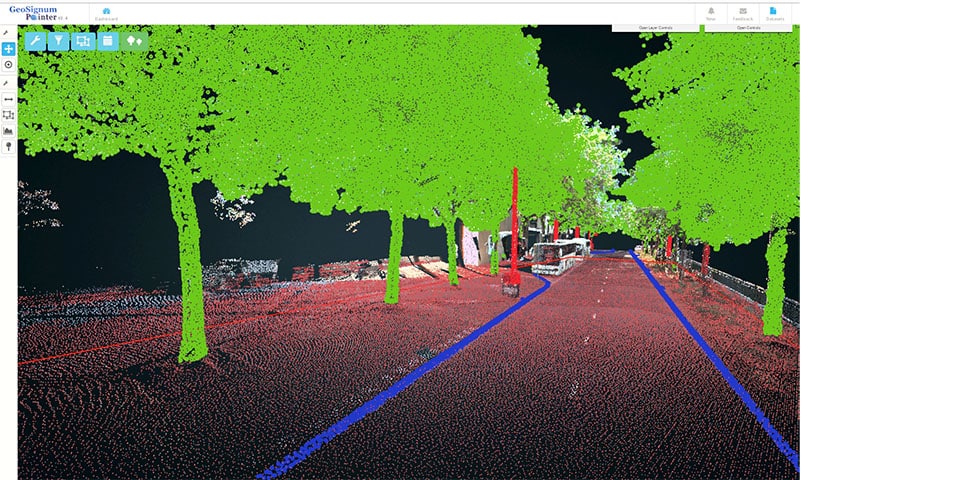
In addition to the position of these assets, LiDAR provides much more additional information.
GeoSignum has extensive experience in object detection and analysis of LiDAR data. "The web platform has been 'online' since 2014 and recently we presented the third generation," Altundag said. "In this latest release, even more AI toolsets are available for automatic object detection (and its classification) and noise cleaning, among other things. 3D models, 360-degree panorama and HR photos can also be added. In short, basically an indispensable solution for companies active in the infrastructure sector."