Platform on civil engineering, underground infrastructure, energy, construction equipment & construction machinery

ArcGIS, Esri Netherlands' geographic information system, has become indispensable in the AEC sector: Architecture, Engineering and Construction. Compatible with legion of other software solutions, the software system is used by both clients and contractors and makes collaboration and optimization easy.
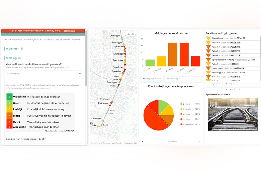
Esri Netherlands is the distributor of ArcGIS. The company provides implementation, support and training in the Netherlands for those who want to get started with it. ArcGIS makes digital maps of everything on earth. For the AEC sector, that means maps of roads, railroads, levees, public green space, lampposts, and so on. All kinds of information can be linked to ArcGIS including design data. All this spatial data then supports the actual development and realization. But certainly afterwards also in management and maintenance.
Jeffrey van Tol and Frank de Zoeten are business developers within Esri Netherlands' AEC team. Jeffrey says: "The national tasks we are facing as a country and sector, i.e. energy transition, replacement task and climate adaptation, motivate and promote the use of ArcGIS because good maps help to come up with solutions. Consider the energy transition; because the grids are already overloaded, grid reinforcement must be built. As a result, many streets must be opened up and a solution must be found for the grid boxes or battery packs above ground. A GIS program provides an integrated view in this."
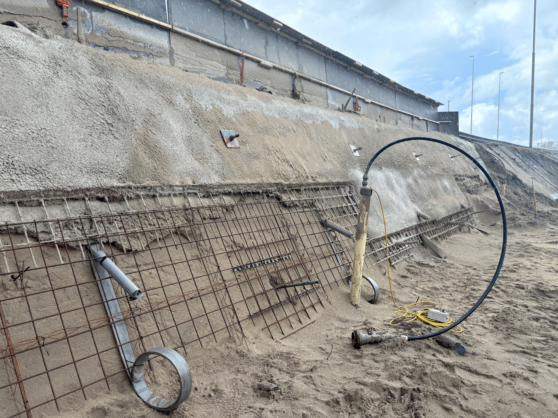
In infrastructure, we already know that in the coming decades we will increasingly have to deal with bridges, overpasses, quay walls, tunnels, locks, roads and sewers needing replacement. "We are still in the lee of the storm now, but the nuisance will be much greater in the coming decades. So we need to map where those structures are and how best to replace them sequentially. With ArcGIS, you can visualize and improve the impact of your strategic decisions in advance."
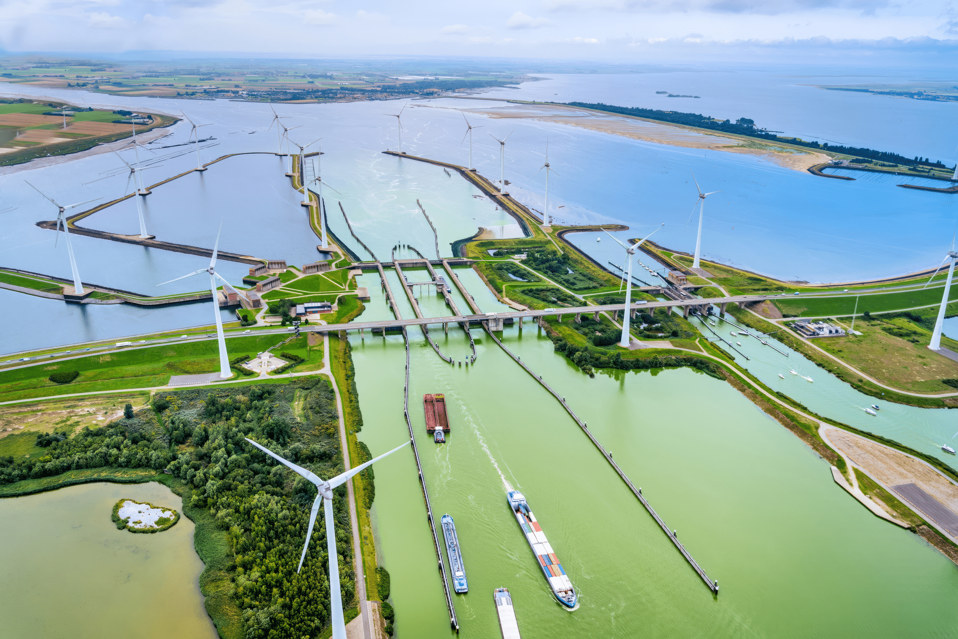
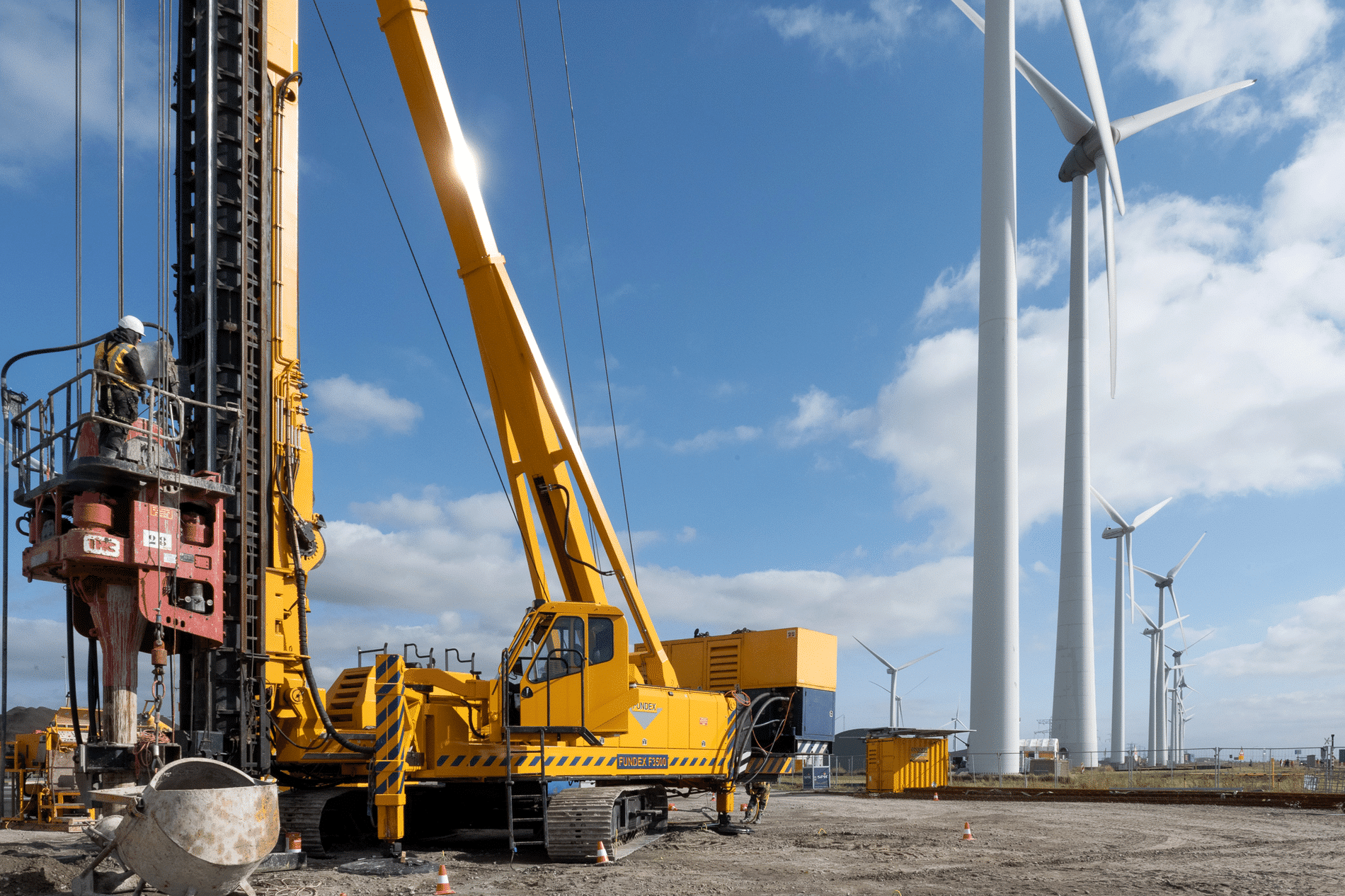
"We have to realize that, just for the energy transition, a third of all streets in the Netherlands are going to be broken up in the next six years," Frank adds. "That's so much that clients are commissioning whole neighborhoods. The contractor then has to determine everything himself. A GIS helps with the route, surveying and almost every other step in the process. In the energy transition, you also use GIS to determine suitable spots for solar parks or wind turbines. Where you have to take into account things like light, cast shadow or nuisance. These are all spatial issues for which you can use ArcGIS."
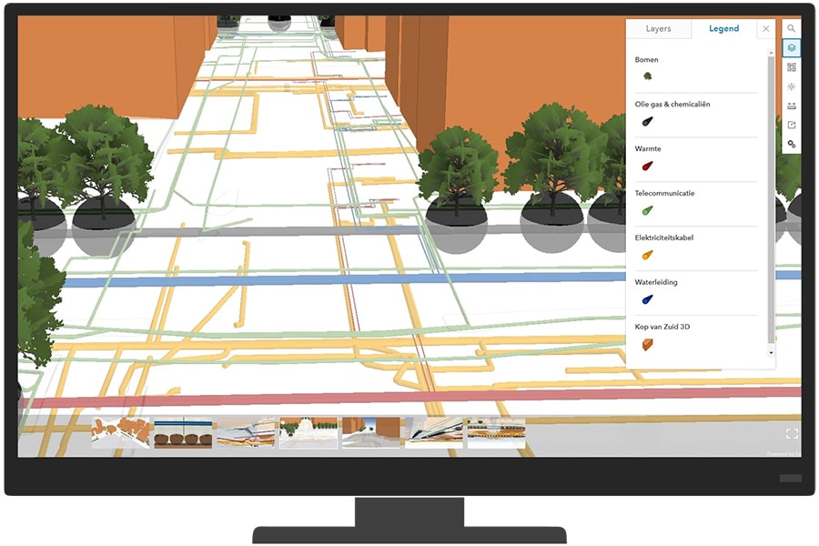
As mentioned, ArcGIS is compatible and those who are smart can use it innovatively as a result. Boskalis is making efficient use of the ArcGIS extension GeoWeb: Design data, land take, property data from the Land Registry, soil surveys and geotechnical data have been added for the IJssel Works. Data on water levels and breeding seasons are important for implementation planning. All these data are made available on their GeoWeb page, where it is always clear where the data come from and what the status is.
MUG Ingenieursbureau uses ArcGIS for land surveying, among other things. Because the platform supports all kinds of processes thanks to various apps, ArcGIS makes it possible to quickly collect, process, combine, analyze and visualize location data. And share it, of course. Besides making measuring simple, ArcGIS also allows you to set up workflows using smart apps that you link to the GPS stick. Hans Hainje, Innovation Manager at MUG: "GIS is ideal for spatial integration, from preparation and digging trial trenches to recording during execution."
Neem dan rechtstreeks contact op met Esri Netherlands.
 Contact opnemen
Who we are A map connects people, wherever they are. Thanks to the insight that maps and geographic analysis provide, it is possible to make a difference. More than 350,000 organizations worldwide work with Esri's innovative technology every day. Forward-thinking organizations are solving business problems with Location Intelligence and uncovering new opportunities. In the Netherlands [...]
Bekijk Bedrijfsprofiel