Platform on civil engineering, underground infrastructure, energy, construction equipment & construction machinery
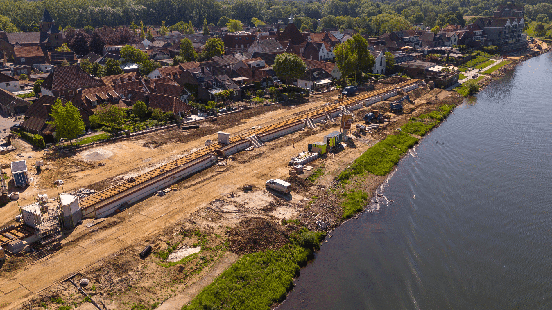
A dike reinforcement project requires a comprehensive approach, in which earthwork is just one aspect. From the initial design to final completion, every layer of clay and sand must be placed in exactly the right spot. Leave that to the experts at Schmitz Civieltechnische Werken. The quantity surveying team has been involved in the project since late 2024, and that involvement is expected to continue through at least 2030.
The collaboration came about through Ploegam, part of Dijkalliantie Neder-Betuwe, with whom we have already successfully completed several projects, says Dave Schmitz, who runs the surveying firm together with his brother Mike. However, a dike reinforcement project had not yet been part of their joint track record. “For this project, Dijkalliantie Neder-Betuwe was looking for a lead contractor, and we are fulfilling that role, supported by specialists, contracted workers, and alliance staff—because, of course, it remains a team effort.”
Work began long before the first shovel hit the ground. “During the design phase, we assist with creating and verifying the machine models. These digital models form the basis for the GPS-guided machines that will be working outdoors. The team ensures that the correct data is fed into the machines, checks versions, and makes sure that the most up-to-date models are always used. At peak times, about twenty-five to thirty machines use this digital information.”
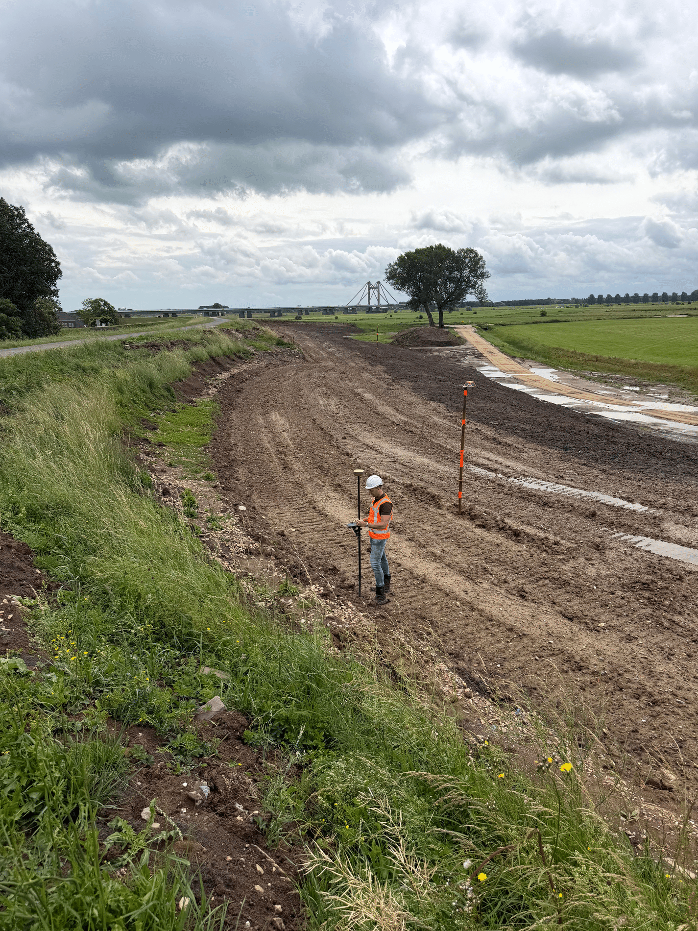
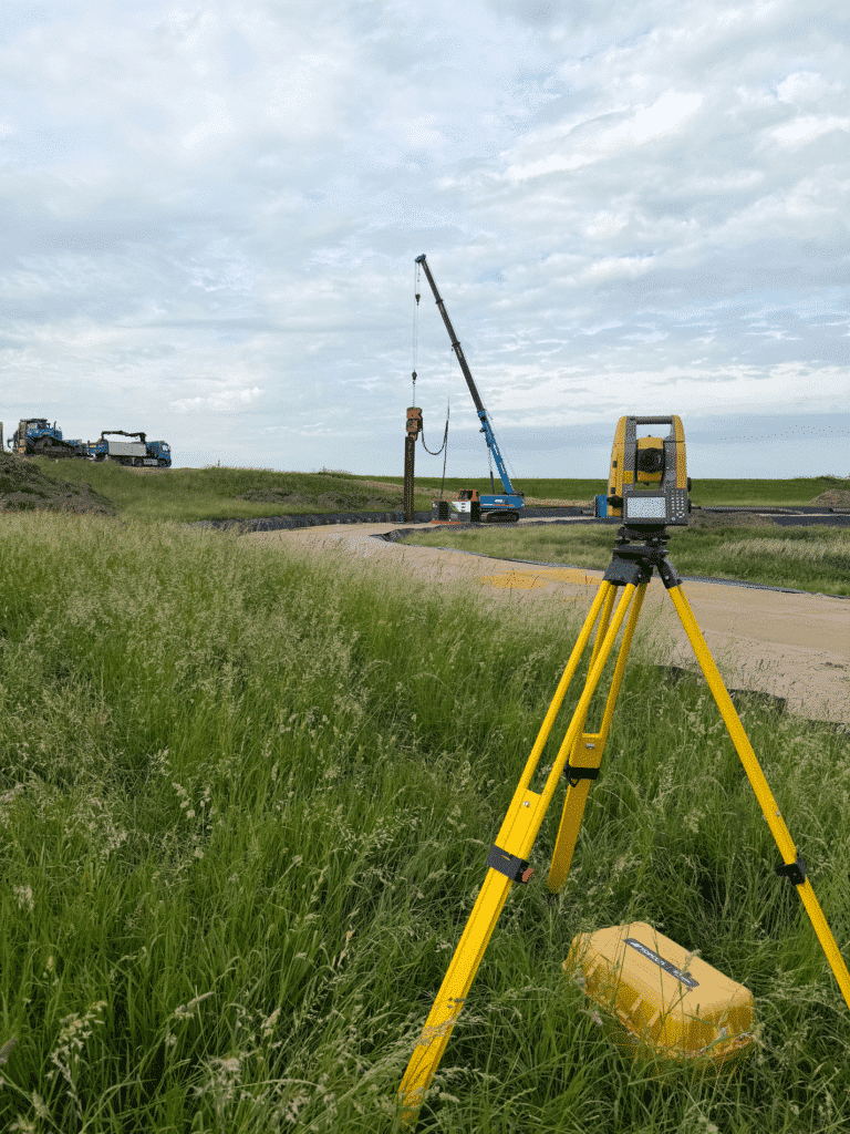
As the lead contractor, the Schmitz team serves as the link between design and construction. Quality assurance is also a key part of their work. “The dike structure consists of multiple layers of clay and sand, each of which must meet specific requirements,” Dave explains. “After each construction step, we conduct verification measurements using GPS equipment. We record the results digitally, and they later form an important part of the final acceptance documentation.”
Monitoring settlement also plays a major role. “Hundreds of geodebris markers are placed on the dike to track the movement of the subsoil,” says Mike. “At the peak of the project, we’re monitoring approximately 430 geodebris markers.” The biggest challenge on this project for Schmitz Civieltechnische Werken? “Making sure we don’t overlook a single detail,” he says. Ultimately, the team will deliver a complete digital map of the completed work to the client, so that the alliance can deliver a demonstrably safe and future-proof dike to its client, the Rivierenland Water Authority.”
In addition to the work on the dike, Schmitz is busy every day for various clients laying out detailed dimensions for concrete work, guide lines for asphalt paving, and road markings on provincial and national highways—and even at airports. “We now do this using several robotic plotters and one other GPS-controlled machine.” This expertise builds on the experience of Jan Schmitz (father), who has gained over fifteen years of experience within the company in the digital layout of alignment lines, using both GPS and total station guidance.
Neem dan rechtstreeks contact op met Schmitz Civil Engineering Works, B.V.
 Contact opnemen
Since 1999, Schmitz Civieltechnische Werken B.V. has been the leading specialist in surveying within the civil engineering sector. Using the latest surveying equipment, innovative software, and an enthusiastic team of professionals, we work daily on challenging infrastructure projects throughout the Netherlands. From the design and redesign of roads to staking out, surveying, and processing survey data into accurate 2D […]
Bekijk Bedrijfsprofiel