Platform on civil engineering, underground infrastructure, energy, construction equipment & construction machinery
There is a world full of secrets beneath the ground. Saricon helps to reveal that world. Whether it concerns support for archaeology, civil engineering, environmental research, or explosive detection, their geophysical techniques accurately reveal what lies hidden beneath the surface.
Geophysics has a wide range of applications, begins Ferry van den Oever, senior geophysical specialist at Saricon. “For archaeologists, we locate the remains of ancient castles; for environmental consultancies, we map the boundaries of old landfills or filled-in ditches; and in civil engineering, we help locate cables, pipes, and foundations. We are also often called in to locate foundation piles that were cut down years ago and have since disappeared under a thick layer of sand, and we provide answers to geological questions: how thick is the sand layer, where is the clay, sand, or peat? Such measurements provide insight and prevent surprises in future construction projects.”
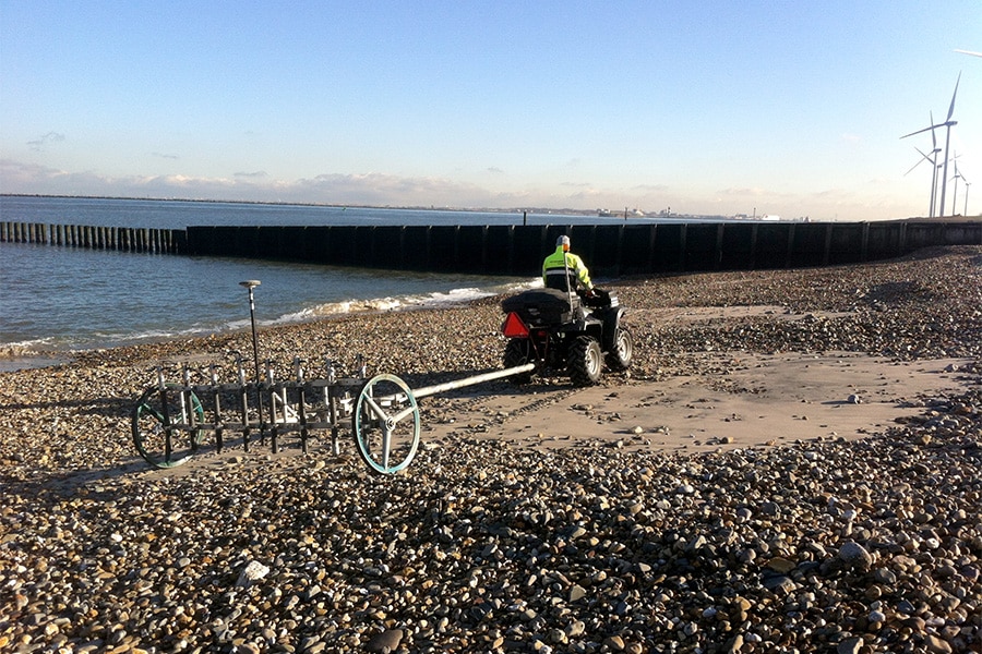
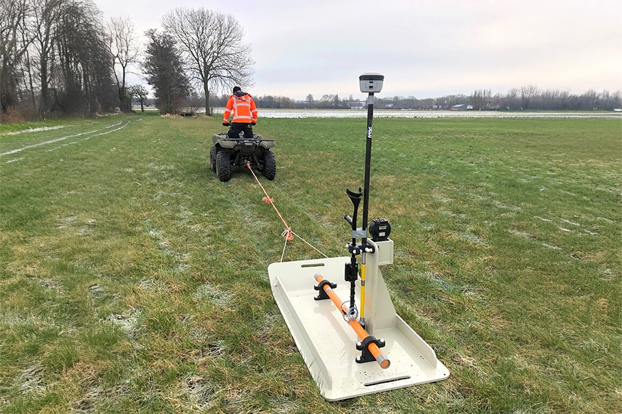
According to Van den Oever, every question starts with a well-thought-out plan. “Together with the client, we determine what needs to be investigated and which techniques are most suitable for this,” he says. Saricon has a wide range of techniques and methods at its disposal, such as ground-penetrating radar, magnetometry, and electromagnetic induction. “Each technique has its strengths, and we often combine several methods to achieve the best results. This allows us to use one technique to obtain crucial information where another technique falls short.”
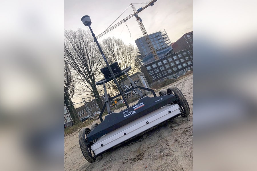
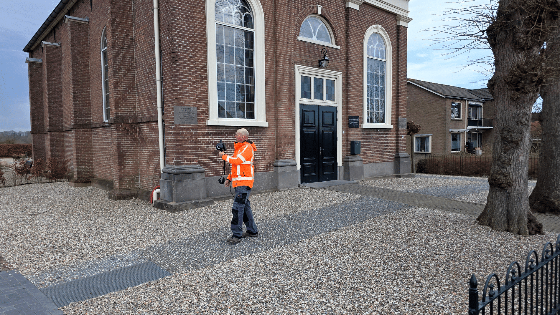
Saricon's equipment is linked to highly accurate RTK GPS systems. RTK stands for Real Time Kinematic. “This allows us to know exactly where we are measuring, down to a few centimeters,” emphasizes Van den Oever. “Where measuring tapes were used in the past, we now work with modern, mobile systems that we can use on foot or behind a quad bike.” What further distinguishes Saricon is its knowledge, experience, and ability to empathize with the customer's needs. “The soil type, the type of research, and the objective together determine which technique is the right one. Thanks to countless successful projects and the lessons learned from previous measurements, we know exactly which approach works.”
No two days are the same for Van den Oever. “Our specialists work in meadows, inner cities, and even abroad. For example, we recently mapped a Roman villa in Germany and investigated the foundations of a castle in France. Rain or shine, every location offers a new adventure. Geophysical research is precision work, but also a journey of discovery, and that is precisely what makes this profession so special.”