Platform on civil engineering, underground infrastructure, energy, construction equipment & construction machinery

Infrastructure projects are typically carried out in a complex, dynamic environment. A setting where interests are high, unpredictable factors are at play and multiple stakeholders are active. All this necessitates crystal-clear insight in advance and manageable risk during execution. Geocon, experts in monitoring and positioning solutions for civil infrastructure, provides just that. Expert, reliable and always with a focus on the best solution.
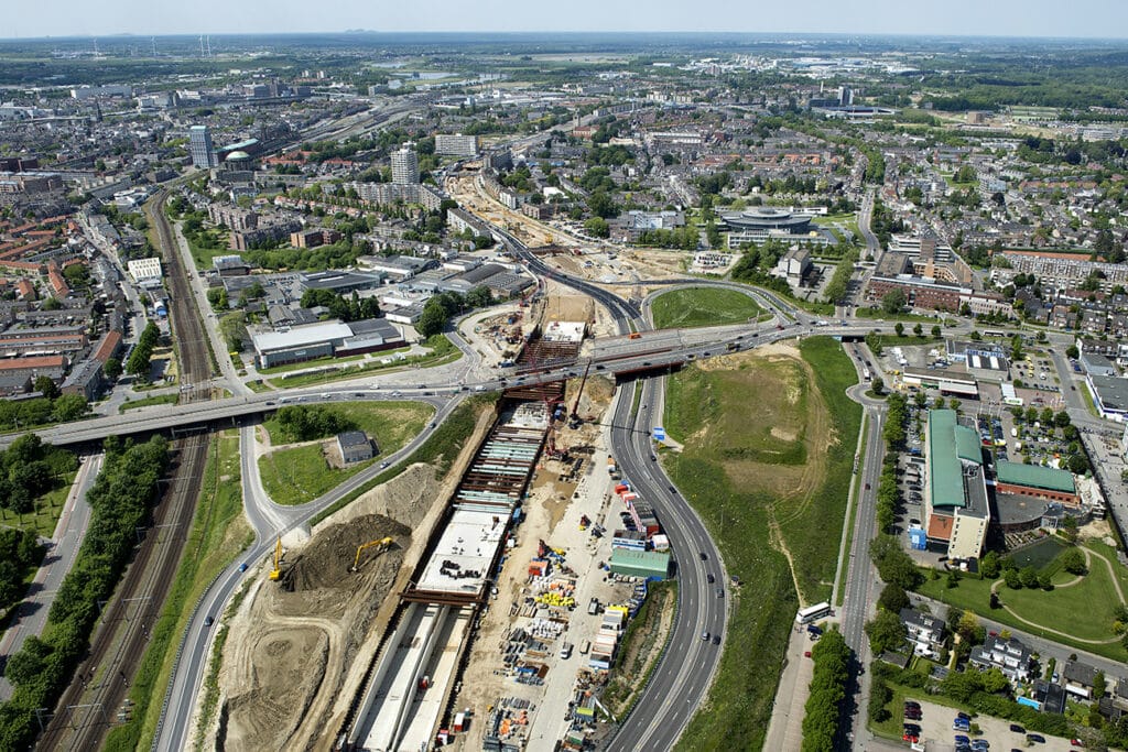
Geocon is the link between design, realization and management during infrastructure projects. Large and small. "By generating the right information through measurement and monitoring, we make matters transparent," says Carlos Bosma, Geocon's business manager. "Specifically, we ensure that our clients can carry out their projects with great reliability, safety and manageability. We create values, in all links within the chain. Especially when it comes to risk management, design verification and quality assurance of projects. Goals we approach integrally and from a broad perspective, with various measurement techniques, processes and our people. And always with the nature of the project as an explicit starting point. We do not sell measurement systems, but integrate a service that brings success to the customer, minimizes risks on the project site and gives him the certainty that the project will be realized successfully according to plan. That is where our strength lies. And we do this within a variety of infrastructural environments. For example, we are often involved in monitoring excavation pits. Not surprising when you know that approximately 90 percent of the project risks in civil construction occur below ground. Furthermore, we regularly focus on track monitoring and you often see us in environments where tunnels and caissons need to be positioned. This is very specific work that requires the greatest accuracy. Simply because you have to get it right the first time."

Geocon's range of activities roughly includes four components that can be purchased as a complete package or separately. The start is formed by a monitoring plan, within which the creation of a clear, comprehensive risk analysis and system design is central. Component 2 includes the collection of the desired data using an integrated monitoring system and high-quality sensors. "The third phase revolves around data verification," Bosma said. "An activity that includes analysis and reporting of the collected data. The final piece is adjusting during implementation. The information we have uncovered can sometimes lead to taking measures and adjustments to achieve the intended result. For this, too, we do important preliminary work with our measurement and monitoring expertise."
Geocon's approach rests on three solid pillars: the guarantee of tiptop service.
By always looking for the best solution, Geocon assures customers of reliable results.
- A structured and proven working methodology that ensures quality.
- An integrated solution consisting of the best-fit technology to answer the question.
- Fitting into user/customer work methods and processes.
- The specialist for integrated monitoring and positioning solutions.
- Network of employees with specialized knowledge, experience and talent.
- Open and safe corporate culture with respect for each other.