Platform on civil engineering, underground infrastructure, energy, construction equipment & construction machinery

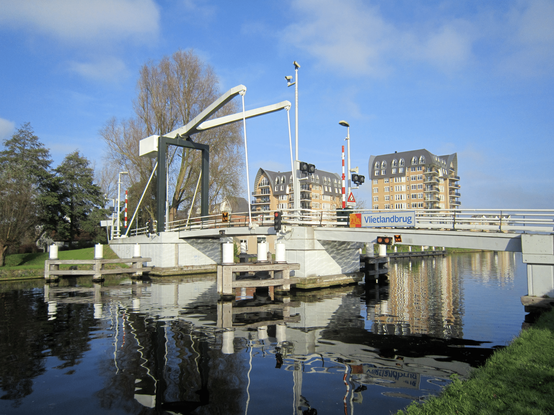
By January 1, 2025, all regional flood defenses must be assessed to determine whether they meet water safety requirements. This requirement presented the Hollands Noorderkwartier Water Authority (HHNK) with a challenging task. HHNK has approximately 1,200 flood defense structures in more than 1,060 kilometers of regional flood defenses in its management area. These are mainly inlets and pumping stations, but there are also structures such as locks and coupures. In 2019, approximately 950 flood defense structures still had to be assessed. This was a time-consuming task, as little information is available about many of the structures. Much of the information therefore had to be gathered in the field and processed manually. This had to be done more efficiently, and it could be done more efficiently: with a special structures app.

Because testing all the artworks is a time-consuming task and HHNK's capacity is limited, assistance has been requested from three engineering firms with which HHNK has a framework agreement. These are Iv-Infra b.v., Arcadis Nederland b.v., and RPS advies- en ingenieursbureau b.v. A pilot project was launched in which the engineering firms studied the manner in which the assessments should be carried out. Each engineering firm carried out a simple assessment, including reporting, of seven inlet culverts, two pumping stations, and one lock. The inlet culverts were divided into those for which HHNK only had dimensions and those for which drawings were also available.
The conclusion of the pilot was that gathering and verifying information could be made easier and more efficient. This led to the idea of automating the simple testing of inlet culverts and pumping stations with an app. The expectation was that most structures could be approved or rejected by performing a simple test. In addition, quality and efficiency improve when projects are carried out in a data-driven and uniform manner. Iv-Infra was asked to develop the app.
Testing a large number of artworks in a short period of time requires a smart and efficient approach. Due to time constraints, a completely new app was not built. Instead, an existing app was sought that had the functionalities needed to carry out the assessment and could incorporate HHNK's requirements. For example, HHNK wanted the app to be suitable for carrying out the assessment in the field, generating an assessment result for each work of art. In addition, it must be possible to collect data in the field that is necessary for the assessment and to check and supplement the information in HHNK's management register.
Based on these requirements, the ArcGIS app Survey 123 was used. This app allows forms to be created that can be filled in at any location using the mobile app. Engineering structure data from the HHNK management register can also be imported directly into the app, eliminating the need for manual entry of this data.
Iv-Infra initially customized the app for simple inlet testing. Arcadis and RPS tested the app. When the app proved successful in testing the first series of inlets, the simple test for pumping stations was also integrated into the app. The app is designed in such a way that anyone with some knowledge of flood defenses can use it. It can also be easily customized for other types of structures or water authorities.

The app combines testing, field research, and reporting through an efficient process. Testing takes place in an interactive manner. During the field research, artworks are assessed on the basis of a series of fixed questions, so that each assessment is carried out uniformly. By carrying out the assessment in the field, it is always based on the most recent condition of the artwork. This allows missing data to be measured and added to the app, and photos to be added, creating a clear picture of the artwork. Once all the data has been entered, the app issues an assessment indicating whether the artwork is compliant or needs to be further assessed according to the detailed test. The app produces a uniform fact sheet for each artwork with all the artwork data, including photos, the assessment, assessment results, and any special details.

Because Survey 123 is an ArcGIS app, data collected in the field can easily be entered into the HHNK management register. This creates a more complete management register that only includes structures that are actually present in the field. It often happens that structures are found in the field but are not yet included in the HHNK management register. Or, conversely, that structures are included in the system but no longer exist. These structures can now be added directly to the app and checked or removed as appropriate. The more complete and updated management register makes it easier for the asset manager to select works of art that need maintenance or replacement.