Platform on civil engineering, underground infrastructure, energy, construction equipment & construction machinery

When you think of surveying, you quickly come to Carlson. A multinational company with more than 130 employees worldwide that specializes in providing hardware and software for surveying, civil engineering and geographic information systems (GIS). Carlson is your specialist for measuring, designing and realizing GWW and construction projects.

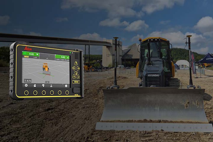
Carlson EMEA supplies all types of measuring instruments. From traditional optical instruments, to GPS guided systems and of course drones. But the range also includes a full range of affordable CAD software to work with this hardware. We ask Rob van Etten, responsible for sales & support in the Netherlands, what distinguishes Carlson in the market: "First and foremost, our customers appreciate our knowledge and expertise. We also occupy a unique position in the market because we have designed our software in such a way that it can also be used in combination with other brands of measuring instruments. Of course we like to sell our own hardware, but it sometimes happens that a different partial solution is required for a particular project. In that case, the customer can simply link it with our software. We facilitate this because we are extremely diverse when it comes to data exchange using different file formats. That makes us a unique partner for civil engineering, among others."
Carlson is presenting their innovations at the Infra Relatiedagen. Come take a look and meet Rob van Etten and Jeroen Harbers.