Topcon makes dimensional digitization accessible and cost-effective for wider segment
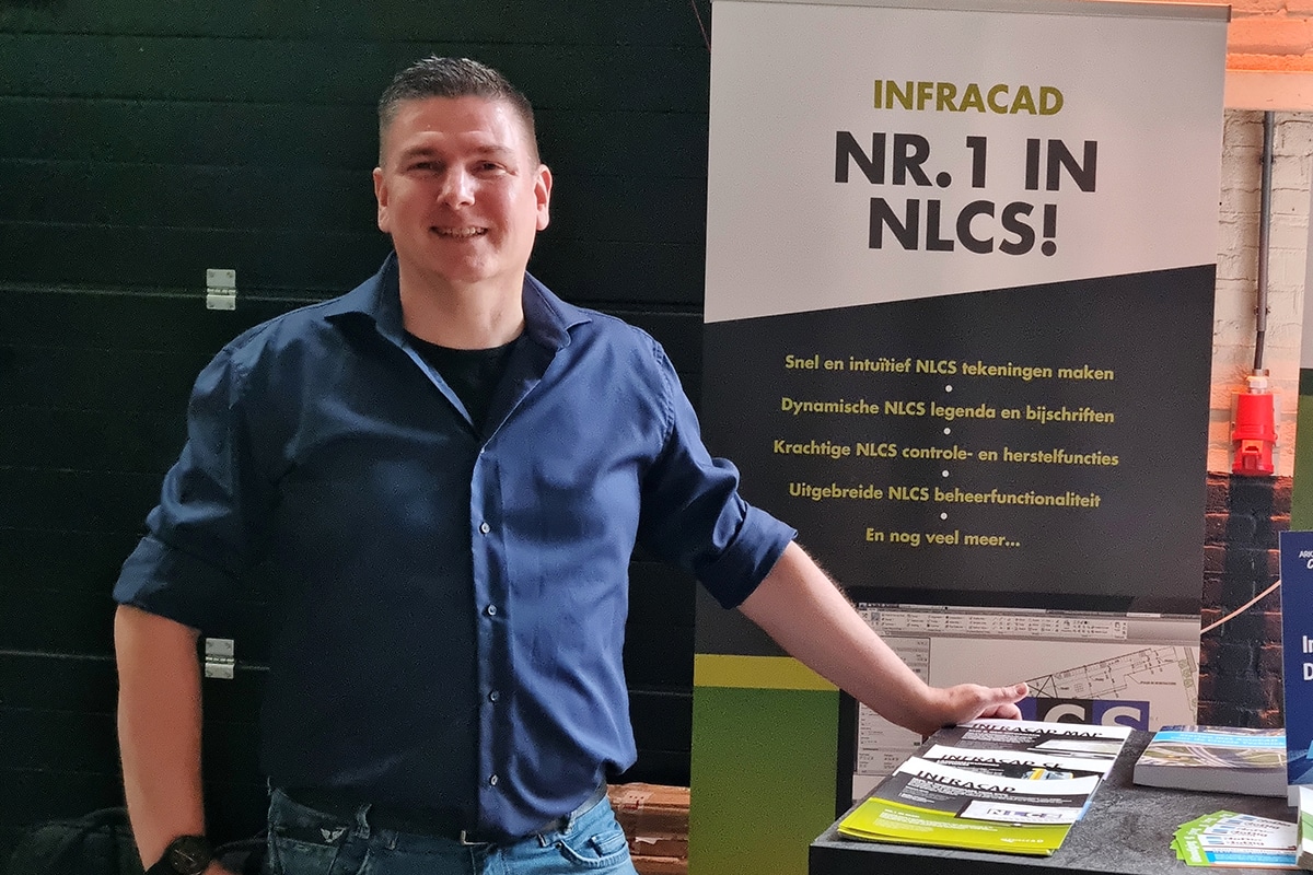
The construction industry needs solutions that make measuring as accessible as possible. "And accessible to everyone," adds Ad van Gils, who has worked at Topcon for many years as a consultant and trainer in digital measuring. "That is therefore one of Topcon's goals. By offering alternatives that are more user-friendly and significantly more affordable than Total Station, we are trying to give the construction and landscaping industries in particular a push to digitize surveying."

Available for wider segment
Ad is referring to Topcon's 3D laser LN-50. "A variant of the LN-150, with a range of 50 meters (radius) which is more than enough for a lot of plotting work. In addition, the LN-50 is very attractively priced so the investment is quickly recouped." He notes that companies are struggling against this digitization move. "Especially with regard to the revenue model. They are often faced with the choice: do we invest in equipment, software and knowledge, do we continue to outsource it to specialized measuring companies or do we continue to do it in the conservative woodcraft way. Especially for companies where surveying and plotting is a secondary process, it is quite difficult to invest heavily in a Total Station and then make it profitable," Ad knows. "With the LN-50 in combination with Topcon Digital Layout, those parties in particular have a cost-effective alternative that is user-friendly and allows them to measure and stake out quickly, accurately and efficiently. Really anyone can learn it!"

Investment quickly recouped
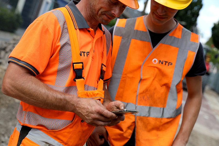
"The work that previously had to be done by at least two or three men can be done by one man with our digital sizing solutions and also in a shorter time frame." Ad already made an ROI calculation for a customer once: "With a swimming pool builder, we calculated that he saved over 26,000 euros on an annual basis by working with our equipment. See Table 1: the figures don't lie." Noting that these figures are obviously for this particular pool builder, Ad adds, "Are you curious about what this system can do for you? Contact Topcon and together we will calculate the payback time based on your figures."

Hybrid positioning
In addition to the new LN-50 (range 50 meters), Topcon also offers the LN-150. "A millimeter-accurate 3D laser with a range of 130 meters. It is our user-friendly solution for surveying, deployment and navigation on any project. With just the push of a button, the LN-50 and LN-150 automatically level themselves and are ready for action." Another advantage is that both the 3D lasers and the HiPer CR (a more cost-effective and lightweight version of the successful HiPer VR) can be directly combined in Topcon's MAGNET software via Hybrid positioning. "Both products are designed and built to perform, on any project where reliable and accurate 3D positioning is required," says Ad. "Whether that's indoors, outdoors, in a built-up or forested environment..." The HiPer CR rover has a GNSS receiver capable of tracking all available satellites (GPS, GLONASS, BeiDou and Galileo). "Everywhere in the Netherlands, even in difficult conditions, this rover picks up enough satellite signals that you have a good range." Together with Topcon's 3D laser, the HiPer CR forms a powerful combination. "Ideal for surveying cables and pipes, doing volume measurements at depots, surveying and laying out infrastructure, mapping terrains, surveying monitoring wells: basically anything that requires accurate and efficient surveying or laying out," says Ad. "I'm genuinely excited that we are deploying so broadly and making our products available and attractive to multiple customers to suit their operations and their budgets."
Heeft u vragen over dit artikel, project of product?
Neem dan rechtstreeks contact op met Topcon Positioning Netherlands.
 Contact opnemen


