Platform on civil engineering, underground infrastructure, energy, construction equipment & construction machinery

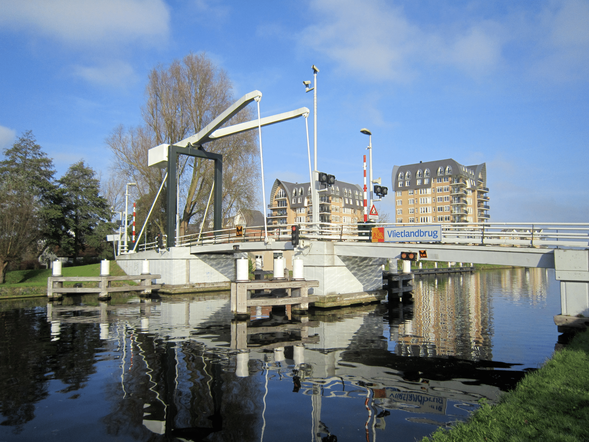
Always and everywhere insight into the current state of the road network in the Netherlands. That is possible through the Real-Time Road Inspection (RTRI) platform and app. Thanks to a recent integration with the Esri ArcGIS platform, the possibilities for use have only increased. In short, this offers more ease of use, more data and application possibilities. "We are delighted with this great partnership, allowing us to serve our joint customers even better," Jan Kroon, director of RTRI and Frank de Zoeten, senior business developer at Esri Nederland, exclaim in chorus.
Real-Time Road Inspection was launched in 2021. Founder Andries Takke came to this idea when he was on the road in his car and noticed all sorts of anomalies in the infrastructure, ranging from poor road surface to broken hectometer poles. Why aren't we doing anything with that information, he wondered? That led him and a team of experts to develop an app and a platform that collects images that road users take from their cars with a cell phone or preferably a dashboard camera.

With the integration with the Esri ArcGIS platform, a further step forward has now been taken. "Esri ArcGIS users, including many governments and contractors, when visiting the platform can now get specific RTRI GIS data on top with a few clicks. Very handy for those who want to know the state of a particular stretch of road in the Netherlands. The combination is immediately available to all our subscribers who have opted for a so-called API package," says Kroon.
De Zoeten adds: "The added value for customer groups of both Esri and RTRI are the up-to-date images of public space that are available. Think of the integration as a hosted feature service in ArcGIS Online. Users can securely access and share the data in their own ArcGIS environment through a variety of configurable apps that support customer workflows. ArcGIS Online has a management environment with the portal that allows access to services." De Zoeten continues: "The great thing is that the contact for this collaboration was made quickly. We were approached by RTRI not too long ago. Then both our and their developers started working on it and so the feature service is now already in the air. Sometimes things move fast!"
According to Kroon, government agencies, such as the Department of Public Works, can use the images to perform maintenance, replace items and repair damages, for example, or to monitor these activities remotely. "Contractors can make excellent use of current images for interpreting specifications and project preparation to remotely monitor the situation of planned works and projects. Reports can also be prepared easily. This minimizes costly, sometimes unsafe, and time-consuming visits to a construction site. Images are automatically uploaded into the online RTRI platform. So to view and manage these, our customers can take out a subscription."

Kroon: "We are killing several sustainable birds with one stone with this service. Because there is no need to drive specially to make recordings. For example, garbage collectors, package deliverers and other services make the images while they are on the road anyway. Therefore, the images are made by everyone and belong to everyone, so to speak. Drivers automatically map roads while driving with our mobile app. Deviations in a route are registered at the touch of a button and exported to the platform with a route export function. All in all, this ensures up-to-date road information, less CO2emissions by reducing vehicle miles and is also cost-saving. It is good to mention that our platform has been included as a chain initiative in the CO2-performance ladder (step 3)."
Meanwhile, a combined total of about 30,000 unique images are already being captured every day, and that number is only increasing. So is the number of users. Many organizations, companies and governments are now using it, including the refuse collection service of Hoeksche Waard municipality, KWS/Gebr. Van Kessel (VolkerWessels companies), Eindhoven municipality and Mourik Infra. "There is demand and interest for up-to-date imagery, which our customers and those of Esri can use according to their needs and implement policies or plan follow-up activities on it. In everything we do, the safety and privacy of our app users and public space is paramount," Kroon said.
De Zoeten expects this hosted feature service to be just the beginning of the possibilities offered by the partnership. "It has potential to grow into a service that offers more and more options. Among other things, by applying machine learning. This can be used, for example, to see whether certain traffic signs are crooked on a particular route." Kroon also sees those possibilities. "Artificial intelligence (AI), RTRI and ArcGIS go well together. The images provide a basis for applied AI, including in recognizing objects and damages."
Neem dan rechtstreeks contact op met Esri Netherlands.
 Contact opnemen
Who we are A map connects people, wherever they are. Thanks to the insight that maps and geographic analysis provide, it is possible to make a difference. More than 350,000 organizations worldwide work with Esri's innovative technology every day. Forward-thinking organizations are solving business problems with Location Intelligence and uncovering new opportunities. In the Netherlands [...]
Bekijk Bedrijfsprofiel