Platform on civil engineering, underground infrastructure, energy, construction equipment & construction machinery

For five years now, Sensar has been using highly accurate satellite data to monitor movements in the soil, buildings and infrastructure down to the last millimeter. With this accurate and up-to-date knowledge of soil conditions, municipalities, (semi-)authorities and executing parties can, for example, realize smarter maintenance planning or already take future soil movements into account in the design phase. Because working with satellite data offers many possibilities, such as even looking back in time and looking forward to the future.
"The technology Sensar uses (InSAR) has been around since the 1990s," said Arjan Tabak, Sensar's general manager. "We are now making that data applicable to a 'wider audience.' Basically, it involves satellite images shot at an altitude of 500 to 800 kilometers from Earth. We compare those over time and, using our own software, we map the minute differences between those images. This provides measurements of movements of soil, buildings and infrastructure that are accurate down to the millimeter."

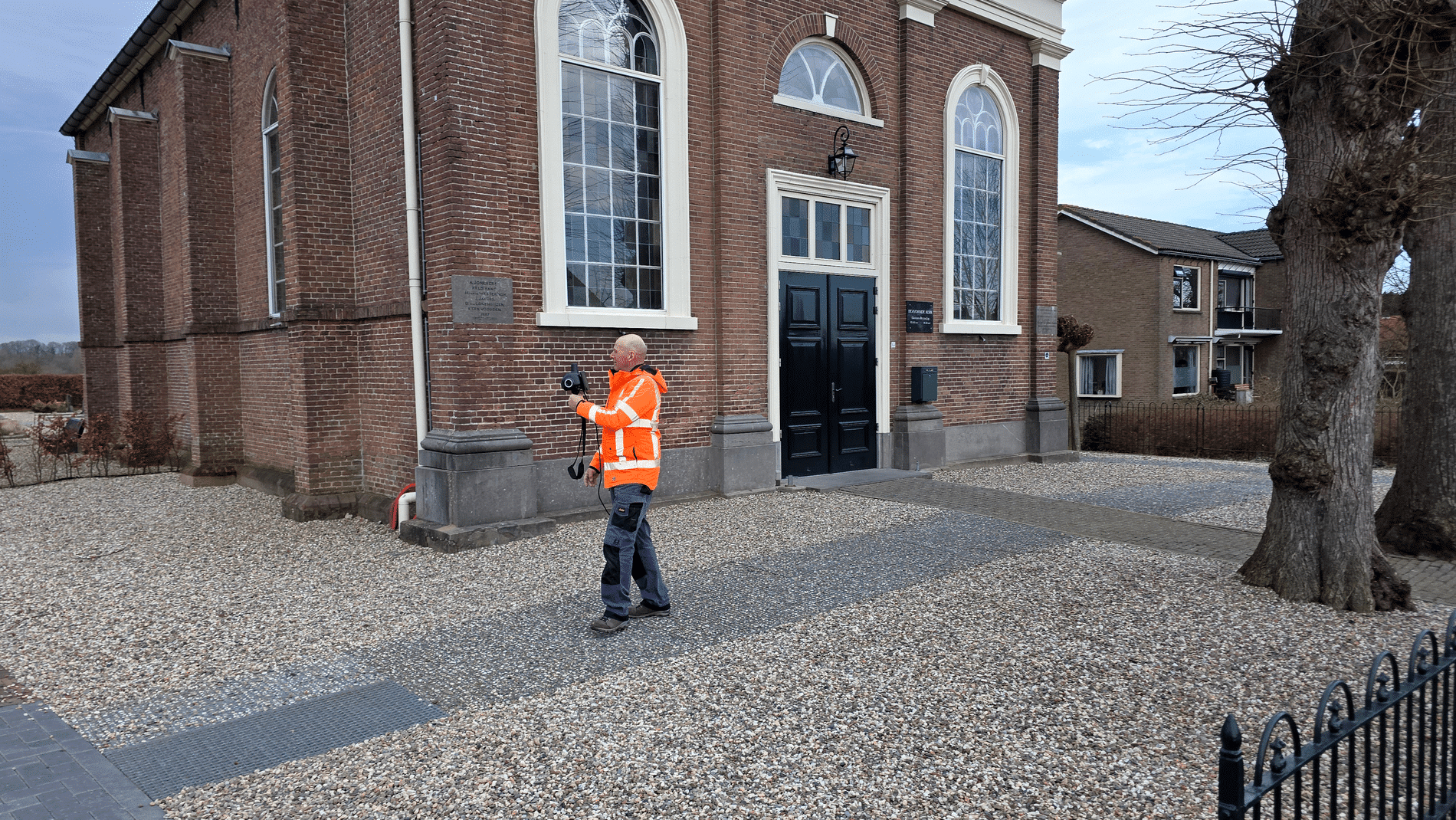
Basically, the technique is similar to surveying, but with different characteristics. "The measurements are most accurate in the Z direction, but measurements are also made in the X and Y directions," Tabak explains. "A special aspect of this technique is that we can look back in time. The InSAR satellites have been taking images since 1992. So we can draw on a huge archive of information. And that makes it possible for executing parties to begin construction immediately, for example. Because we can look back in time, we immediately have a baseline measurement. Satellite images immediately show which objects are potentially at risk and which are not. A second important point is that we can visualize an entire area at the push of a button. You don't miss anything anymore and so you go from situation-driven work to risk-driven work. Finally, because images are recorded continuously, we can issue timely alerts should something threaten to go wrong."
Sensar works in co-creation as much as possible. "We build specific customer solutions based on satellite data. That means that 90% of our technology is standard and that we tailor the latest 10% perfectly to the 'individual' user," Tabak clarified. "For example, we have developed the CityScan, a tool for municipalities in the management and maintenance of neighborhoods or districts, as well as a DijkScan for water boards. This provides very concrete insight into how a dike has developed. Very valuable information to take the right maintenance path or to approach a dike reinforcement. In turn, the InfraScan is a tool for environmental monitoring. Its purpose is to prevent damage to the environment as a result of a project. We are also now very active in measuring the horizontal movement of quay walls, for which we have developed a solution together with the City of Amsterdam. Four different products, but identical for 90%. 90% proven technology, 10% pure tailoring to the specific needs of the client."
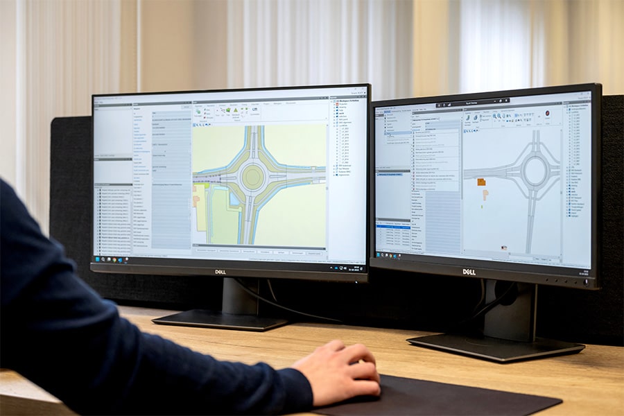
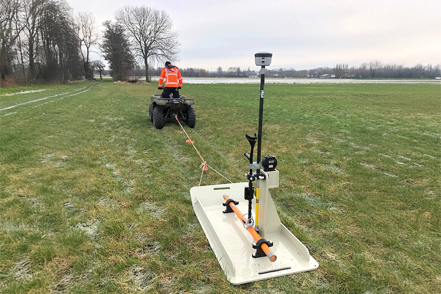
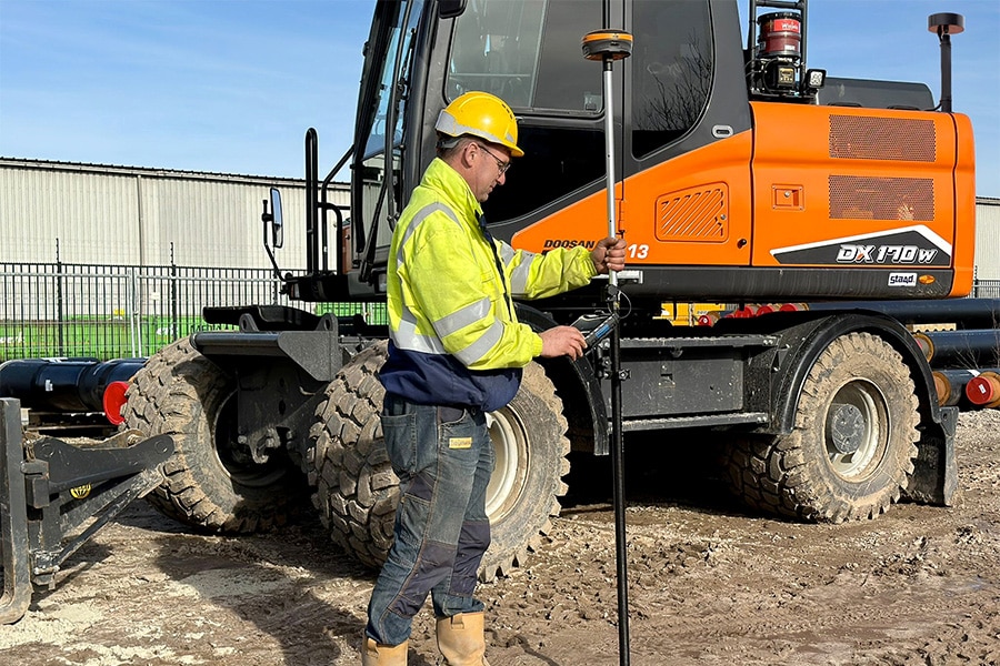
Sensar visualizes the satellite data in an online viewer, which allows users to view and analyze the data. "We also provide a data file for additional analysis in customers' own software systems. Overall, we can say that satellite data make it possible to start doing predictive maintenance: maintain where necessary, defer where possible. So that a better condition of the acreage is achieved with less manpower." According to Tabak, InSAR is not a replacement for levels or GPS, but an addition to them. "With the use of Sensar software, you can deploy local measurements and inspections smarter, and therefore you only need to monitor those objects that are at risk. That saves a lot of time and money."