Platform on civil engineering, underground infrastructure, energy, construction equipment & construction machinery

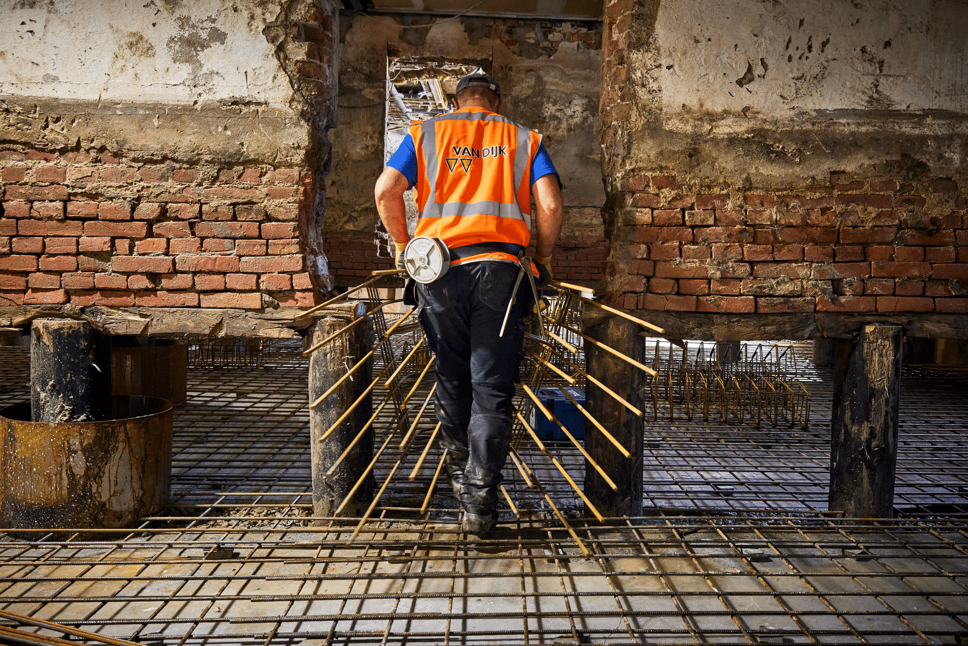
If ground-digging work is to take place in an area, it is important to know in advance whether explosive remnants of war from World War II need to be taken into account. Primarily to minimize the risks involved, but also because it can have a huge impact on the planning and finances of a project. Conducting historical preliminary research is crucial in this regard. "Sometimes you have to spend a little more on the front end to save a lot (of time and money) on the back end," says Julia Enenkel, historian at Bombs Away, an independent explosive ordnance detection consulting firm. A fascinating conversation with the historical researcher.

"People often don't think about it, but everything that was shot and fired in the war, of that - a conservative estimate - about 10% was left in the ground as duds. That, of course, is an incredible amount. Not to mention the explosives dumped somewhere at the end of the war. Explosives are then found every day. The Explosives Ordnance Disposal Service is very busy," Enenkel knows. "So, if groundwork is going to be done in a certain area, it is essential to know in advance whether acts of war have taken place. Some municipalities have already had a risk map (a historical preliminary survey for the entire municipality) drawn up by us or by a colleague company, but in all other cases historical preliminary research will have to be carried out first."
Historical preliminary research is the single most important aspect of detecting explosive remnants of war, according to Enenkel. "It's the switch on or off," she says. "If there are no indications of wartime activity in a project area, then the ground work can simply be done. If we do find indications, then a completely different course follows. And that can have quite an impact. Removing an aerial bomb in a built-up area can be costly and can easily cost a million euros. A thorough preliminary investigation can save a lot of money in the event of detection. For example, if a preliminary investigation is badly carried out, the entire area is suspect; if a good preliminary investigation is carried out, you can possibly limit the 'damage' by only designating a certain part as a suspect area. Municipalities can claim subsidies from the government. With explosives detection and thus also the preliminary investigation, the government reimburses up to even 70% of all costs incurred."

To get a good picture of what happened in a particular area in the past, historian Enenkel always begins with source research in the various archives in both the Netherlands and abroad. "Among other things, we consult the municipal archives, which contain reports from the air protection service. The air protection service monitored air traffic over Dutch municipalities during WWII. These are often very detailed reports describing exactly what happened and what the consequences were. We also consult the British and American archives regarding bombing data. Here you can find information about the number of aircraft sent out per mission, what type of aircraft were involved, how much ammunition was on board, et cetera. There are also stacks of damage forms submitted by the Dutch population, many of which contain an exact description of the damage, which we use. And so there is a wealth of information available even down to documents from the resistance that may offer valuable information. Furthermore, we use documents from the National Archives, the NIMH, the NIOD and we ourselves have a lot of information from foreign archives from Great Britain, America and Canada. It happens that in the past, for example due to combat operations during the liberation, important archival data has been lost, but because we consult so many different sources there is often overlap and we can always make a good reconstruction of the wartime actions."
Based on the source research, Bombs Away compiles a chronological list of events. "That forms the input for our geoscientists who draw the events with a topographical description on the map," Enenkel explains. "Then we look for aerial photographs of the area in question from the past. The aerial photos must have been taken within six months of an act of war. Our aerial photo analysts analyze those for disturbances. You can think of broken roofs of houses, a crater in the landscape or damage to a (railroad) road. It is all compared with aerial photos from the pre-war period. In this way it is assessed whether there are any visible traces of the war acts that emerge from our source research. This allows us to estimate whether a particular area is a suspect for explosives and, if so, how large that area should be. Historical sources, as mentioned above, explain exactly what happened at a location. From that data, we can usually determine very accurately how many bombs were dropped. If eight bombs were dropped and we only see six craters on the aerial photograph, so that means two more are missing."

Bombs Away's research area can sometimes be an area the size of a "postage stamp," but sometimes it can cover an entire municipality or island. "For example, we recently created a risk map of all of Texel," says Enenkel. "There were many positions on the island during WWII, and as the end approached, the Georgians who were fighting on the German side also revolted. In short, a special situation. We were also able to precisely map the crash locations of aircraft here using sources, historical footage from various archives and the help of local residents with a lot of area knowledge. You thus create a detailed construction of events that took place over 75 years ago," Enenkel says enthusiastically. "That is precisely what makes our work so fascinating and at the same time crucial. Explosives from WWII still pose a danger to people, animals and infrastructure. Even after more than 75 years."