Platform on civil engineering, underground infrastructure, energy, construction equipment & construction machinery
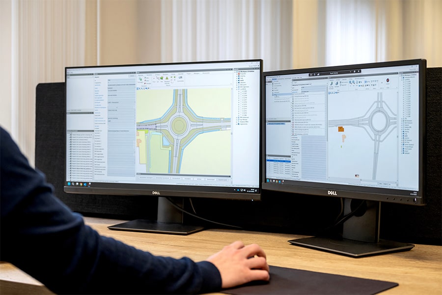
When widening the Juliana Canal, Rijkswaterstaat and main contractor Van den Herik-Sliedrecht are setting the bar high when it comes to quality and speed. All activities, from excavating the existing soil to pouring the stones, are measured and monitored in detail. Various measuring techniques such as RTK-GPS, total station measurements, 3D laser scanning and drone measurements are used for this purpose. Land surveying company PS-Survey is primarily responsible for the measurements and prepared the specific dimensioning plan.
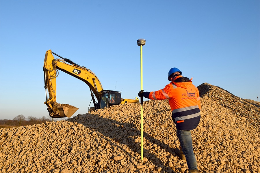
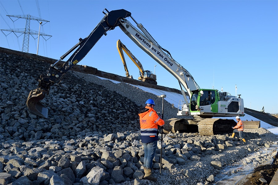
"Basically, our work boils down to the follow-up of the excavation and geometric control of the soil protection," explains Peter Strigencz, business manager of PS-Survey. "We measure the Juliana canal four times: after excavation, when the bentonite mats are in place, when the filter layer with gravel is in place, and lastly at the time when the broken stones are in place."
PS-Survey is responsible for all surveying on the project and is the point of contact for all surveyors and dimensioners. For the exterior work, it works together with surveyors from IGL and Van den Herik. This makes use of the expertise built up over the past 27 years in many reclamation projects, among others. "We are well known in the world of sand and gravel mining. In these types of projects, we are used as a total solution for the entire survey event because we have knowledge, many techniques and good professionals. That combination sets us apart. For example, we do the entire sizing and earthmoving calculations for the Grensmaas project."
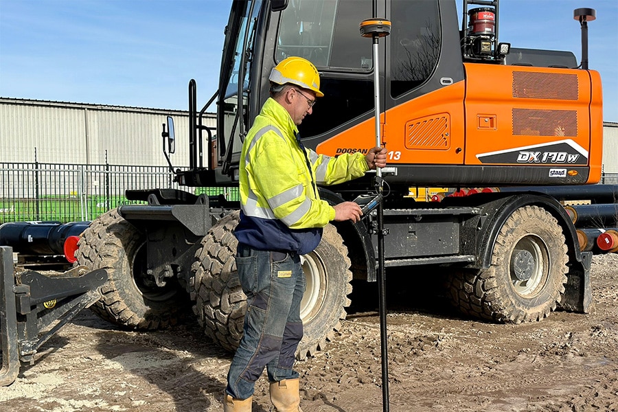
The measurements in the Juliana Canal aim to direct, control and record the layering of soil protection. "It starts with checking the positioning of the machines and delivering the machine models in the correct format," Peter explains. "If this works correctly, then the machine operator can get to work. In the meantime, we measure the various layer thicknesses/layers. When a certain layer is finished, our surveyor performs an initial check with RTK-GPS. If we detect a deviation, we immediately communicate this to the responsible contractor and machine operator so that the deviation can be corrected. Then we perform the second check, capturing the various layers in a plane-covering measurement by 3D laser scanning." The data is processed into elevation maps and difference maps compared to the design so that inspections can take place. In addition, PS-Survey performs drone measurements of the work zone and deposits. "Among other things, this allows us to calculate how much material is present in the various depots and whether it will be sufficient for the planned work."
Because the work is fairly extensive (4 kilometers in length) and the desired accuracy is very high, three GPS base stations have been placed throughout the work. All machines on the project working with GPS positioning use these stations. "This negates the discrepancies between the different national networks. The whole thing was set up together with our supplier Sitech Nederland and is proving to be a robust but also necessary solution."
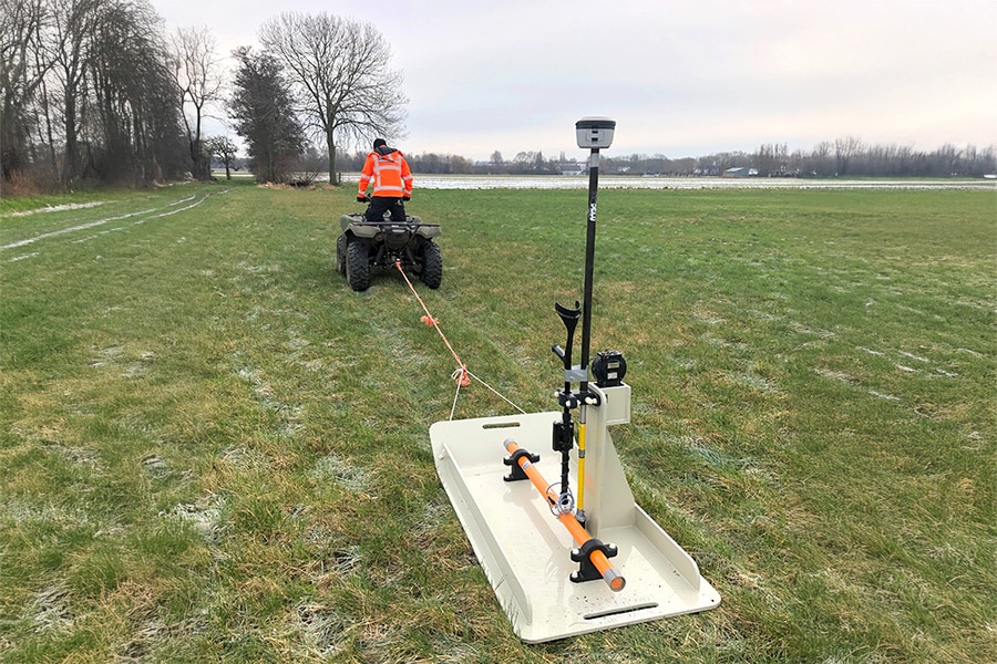
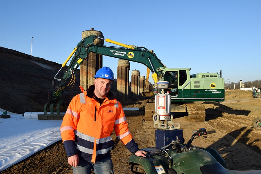
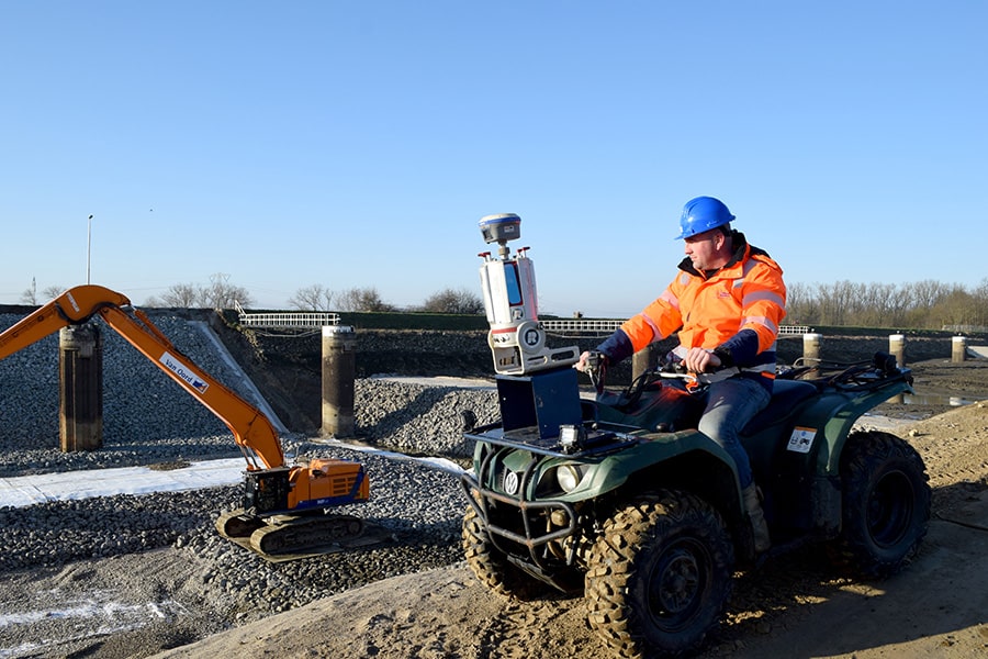
For the Juliana canal it was decided to carry out the measurements as much as possible with a 3D laser scanner. This because of the speed of acquisition and also for safety. "We want to carry out the measurements as little as possible between moving machines. Therefore, we use quads on which a long-range 3D laser scanner is installed," Peter explains. In the parts of the Juliana Canal where there is still water, PS-Survey conducted depth soundings with a multibeam sonar. "Here we carried out underwater measurements as part of the waterproofing of the temporary dam. We will also use this measurement method during and after the filling of the Juliana Canal. This will allow us to map any changes on the bottom."
A lot of measuring involves a lot of data. "That's quite a challenge," Peter explains. "Certainly the point clouds that follow from the 3D scans are not to be underestimated in terms of file size. Good naming conventions, clear storage structures and several terabytes of storage space are a must." Adaptations of machine models also require attention. After all, these need to get onto the machines equipped with a positioning system as quickly as possible. For most machines, these updates are done via a Web application. The remaining machines receive updates from a surveyor who goes on site.
Peter is very pleased with the cooperation with Van den Herik. "We have worked together before, also on projects abroad, and the mutual relations are always top-notch. Every week there is a survey meeting in which the entire measuring process and the drawings to be drawn up are discussed and adjusted if necessary. In the beginning this was very intensive in terms of adjustments, but gradually it evolved into mainly going over the week and establishing that things are going well."