Platform on civil engineering, underground infrastructure, energy, construction equipment & construction machinery
Since its foundation in 1999, Vicrea has developed into a leading geo-ICT service provider that focuses on supporting local authorities with smart software solutions. Where many organizations limit themselves to one specific aspect of geo-information management, we make a difference by creating coherence between registrations, data sources, and applications,” says Roderick Duinker, product manager at Vicrea. “This creates an integrated picture that helps governments work more efficiently, smarter, and in a future-proof manner.”
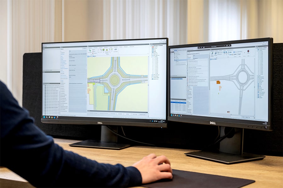
Vicrea's solutions are built around three pillars. “The first pillar is the registration of geo-information,” says Duinker. “We provide software for the most important basic registries managed by municipalities, such as the BAG (Basic Registry of Addresses and Buildings), BGT (Basic Registry of Large-Scale Topography), and WOZ. Where other suppliers often only support one or two of these registries, we offer an integrated solution for all three. This allows municipalities to consult data in context, for example, to view additional information from the BGT and WOZ directly from the BAG. This prevents fragmentation, double entry, and synchronization problems.”
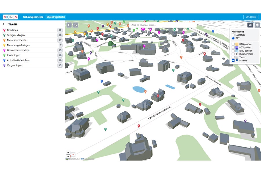
The second pillar focuses on connecting data. “With powerful links and smart exchange mechanisms, our software ensures that information gets from A to B, or even from A to B, C, and D, in the right place,” explains Duinker. “Many of these processes are invisible to the user, but are crucial for a reliable data flow within municipal systems.” The third pillar focuses on using data. “With the Stroomlijn solution, our company's oldest product, users can view and analyze geo-information in context. By simply clicking on a location, you can see what data is available about that area, from cadastral information to resident registration. Stroomlijn is also flexible: municipalities can easily link additional datasets to it or unlock data from other systems.”

According to Duinker, the future of geo-information management lies in creating even greater coherence. “National initiatives such as the Coherent Object Registration (SOR) are in line with the vision of registering once and using multiple times. We are also actively responding to developments such as the transition to APIs as the standard for data exchange and the shift to cloud-based solutions. Another interesting aspect is the emergence of 3D information. We have traditionally been fairly 2D-minded and often work from maps. Municipalities are increasingly requesting up-to-date, high-quality 3D data to better visualize and manage their physical living environment. We are working on developments to seamlessly integrate this 3D component into existing registrations.”
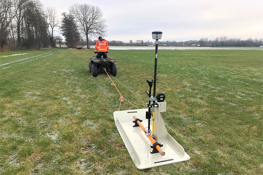
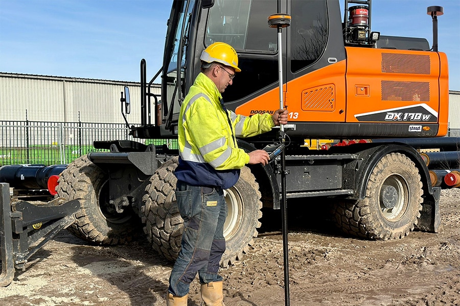
In addition to its own software, Vicrea is a reseller of the Feature Manipulation Engine (FME). “It is a versatile tool for comprehensive data integration and analysis,” says Duinker. “It helps governments to better manage, transform, and prepare data for analysis. FME plays an important role, particularly in the world of infrastructure and BGT management, for example in linking surveying equipment and geo-information systems.” Finally, Duinker notes that more and more municipalities are facing a growing shortage of geo-experts. “That's why we develop solutions that simplify management and increase user-friendliness, so that organizations can guarantee the same quality with less effort.”
In short, Vicrea makes a difference by bringing coherence to a world that is inherently fragmented, helping users gain better insight into their data, their environment, and their future.