Platform on civil engineering, underground infrastructure, energy, construction equipment & construction machinery

A number of new InfraCAD versions were launched in May: InfraCAD 6.5, InfraCAD Map 6.9, InfraCAD CE 6.5 and InfraCAD Map Desktop 6.3. CAD Accent has, of course, made these new versions compatible with the 2020 releases of AutoCAD that were also recently released. In addition, much attention has been paid to KLIC-WIN and the most requested user requirements have been realized. In this article we discuss the most important developments.
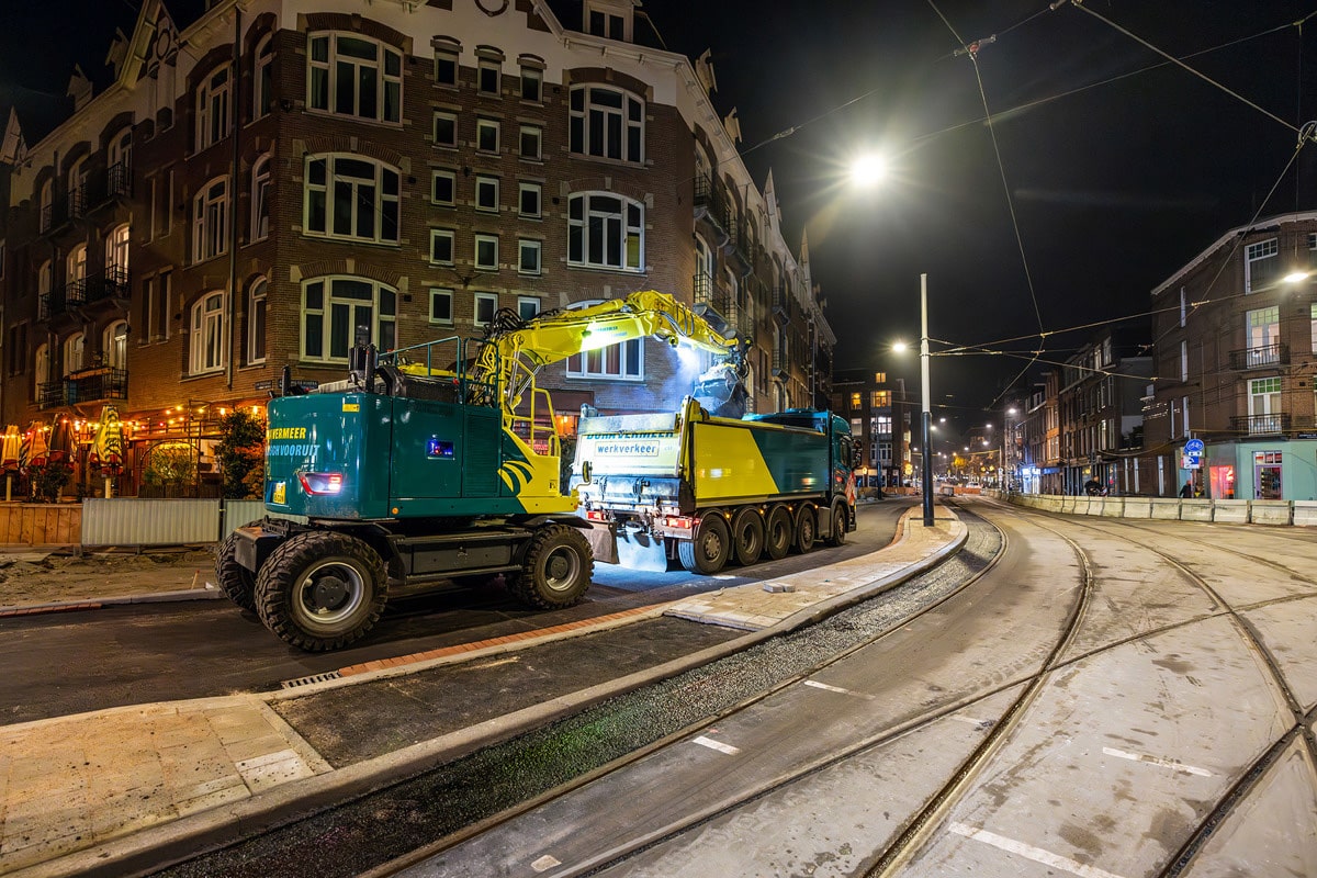
In January of this year, the Land Registry introduced KLIC-WIN, a program that renews the exchange of cable and pipeline information and thus focuses on the future. As a result, the new Klic notifications are based on vector data (GML) which ensures higher quality, faster processing and more information.
With the introduction of KLIC-WIN, CAD Accent has launched the first version of InfraCAD Map with a completely new KLIC module. In processing, all layer names are bundled by theme, greatly reducing the number of layers. For many users this is an improvement but a certain group of users has indicated that they would still like to be able to differentiate the layers a bit more. Therefore, as of InfraCAD Map 6.9, it is possible to include material, diameter, pipe pressure, voltage and grid operator in the layer name. Through the Settings window, a user can determine which data will be included.
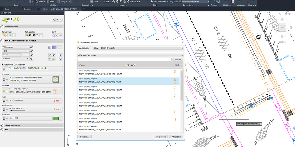
Example of a Favorites list in InfraCAD with CROW thresholds.
InfraCAD's legend functionality, which allows automatic placement of a legend, has been adjusted accordingly in the new version. This includes other functionality such as "Restore Properties," "Captions," and "Check and Restore.
For users of AutoCAD LT, Microstation and BricsCAD, there is also good news: starting with version 6.3, InfraCAD Map Desktop includes a new KLIC module to process KLIC-WIN reports. Furthermore, InfraCAD Map Desktop 6.3 includes some minor improvements such as alignment of the scale list with InfraCAD, use of NGR aerial photo 2018 in the interactive viewer and the ability to save a drawing in R2018 format.
Since the mandating of the NLCS by governments, the use of this standard is starting to become commonplace. The logical consequence is that more and more organizations are looking for ways to share NLCS information with each other.
Especially for this purpose, working with NLCS Project Libraries was introduced within InfraCAD last year. This allows clients to develop NLCS Project Libraries with their own objects and make them available to contractors. Project Libraries can also be used within an organization, for example, to allow different departments to work with a defined set of objects.
In InfraCAD 6.5, the Project Libraries have now been expanded to include Favorites Lists. This allows a user to group commonly used NLCS objects within a Project Library. This provides more overview, enables organizations to collaborate better and promotes smooth control and exchange.
In today's era, more and more use is being made of photographs. Almost everyone today has a smartphone that makes it easy to take photos, for example, for an inventory or during construction. With InfraCAD, these photos can easily be processed into a drawing and from the drawing a photo book can be compiled. In this way, a neat set of information can easily be provided. Especially with a phone, photos can be taken in multiple positions; portrait or landscape and in the latter case left-handed or right-handed. This increasingly resulted in manual post-processing to rotate photos. As of InfraCAD 6.5, the position of the phone is recognized and the rotation of the photos is corrected during processing.
Many users use the option to generate the photo book in their own house style. This was already possible by using one's own logo and colors. As of InfraCAD 6.5, the InfraCAD watermark can also be replaced with your own watermark. This also applies to the CPT book.
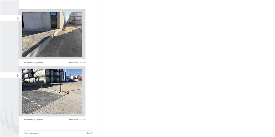
Photo book with InfraCAD compiled from a drawing.
InfraCAD CE version 6.5 has also been modified in a number of ways, although not always noticeably. For example, InfraCAD's scale list has been adopted and is aligned when both programs are present. The same applies to the disciplines, improving the cooperation of the programs. When a longitudinal profile contains multiple profile lines, they are now drawn out correctly and it is now also possible to include environment variables in search paths.
Want to know more about the NLCS and InfraCAD?
CAD Accent regularly organizes free workshops where you can get acquainted with the NLCS and learn how to work with InfraCAD.