Platform on civil engineering, underground infrastructure, energy, construction equipment & construction machinery

To use data effectively, clear analyses are needed. GIS Specialists is the link between data and analyses. Last year it supported National Highway Traffic Data, the Department of Public Works and Skylab to improve traffic flow.
GIS, or Geographic Information System, is becoming increasingly prominent. Not surprising because GIS maps spatial relationships and patterns. Data from all kinds of sources are processed in a GIS and then analyzed and also visualized. In this way, a situation, problem or trend is visualized in understandable language. This ranges from air quality measurements and sensors in waste containers to indoor mapping of buildings. The experts at GIS specialists can set up and maintain such a structured GIS department, including the induction of (permanent) employees.
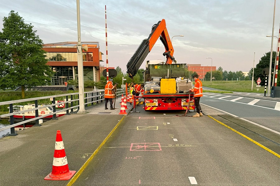
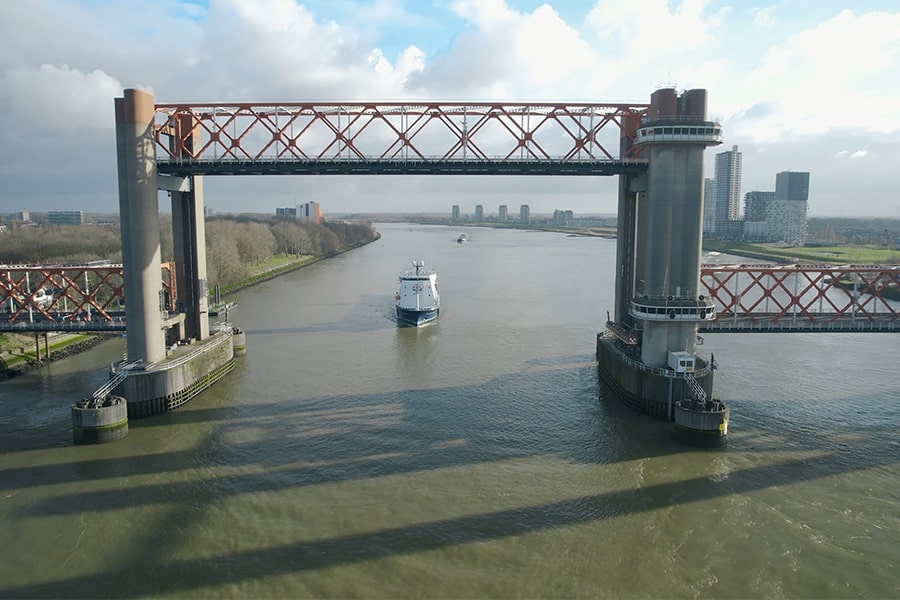
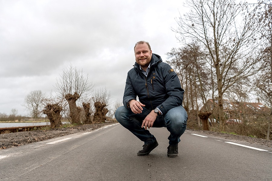
Traffic flows can also be visualized through GIS and improved based on that data. For example, starting in mid-2019, Rijkswaterstaat placed hundreds of special Internet of Things sensors on important bridges throughout the Netherlands to improve traffic flows. "The sensors measure three situations, barrier open, closed or non-functioning," explains Marlex de Jong. "Our contribution is that we have made the data available live through the Blue Wave Connecting platform and the National Road Traffic Database and other traffic information and navigation systems such as Flitsmeister and Waze. This improves traffic flow on the road and waterways, allowing emergency services to get to the scene faster. These innovative sensors and platforms also contribute to the reduction of CO2."
This project is a great example of bringing Internet of Things and GIS together. Today, lots of sensors are used to measure all sorts of things. In many cases, each sensor has its own app. Moreover, the data are far from always available. De Jong: "However, we work exclusively with sensors in The Things Network. We 'capture' data from different sensors and translate it to a position in the GIS system. This allows you to make very good analyses. An important advantage is that the data remain the property of the client. In particular (semi)government wants to be able to share data with the public to stimulate innovations."
Louwers Mediagroep
Schatbeurderlaan 6
6002 ED Weert