Platform on civil engineering, underground infrastructure, energy, construction equipment & construction machinery

As a business owner in the infrastructure sector, you are undoubtedly looking for ways to make doing your job easier and keep building. Building your business, building the Netherlands. One way to do that is by doing your own digital surveying, which is becoming more and more the standard. Thanks to its own UNI-GR1 digital receiver and accompanying software, marXact will show during the Infra Relatiedagen how you can become a surveyor in just 20 minutes.

marXact's Jürgen Everts: "Centimeter-accurate data helps during all phases of an infrastructure project. From thorough preparation to smooth execution and accurate evaluation after completion. By plotting designs or measuring points yourself, you can make an accurate planning with detailed quotations. After all, you know what the current situation is of a road to be built, for example, and you can adjust your plan accordingly. The same goes for your quotation; you know how much work has to be done and how much time it will take, and you base your proposal on that. You can even buy materials more specifically."
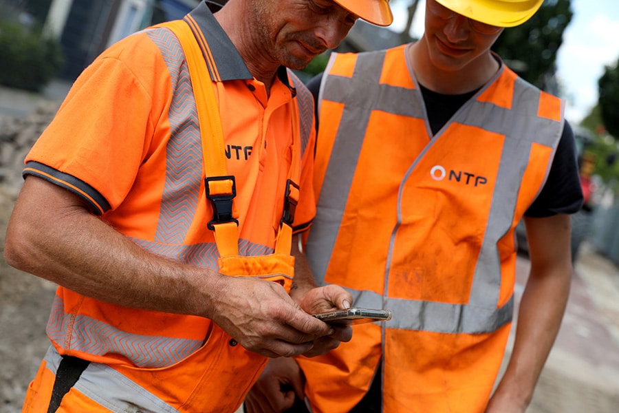
During execution, you can track process progress more easily, for example, by immediately reviewing measured points, lines and polygons. That way you can quickly see where new asphalt is being poured or cables and pipes are being laid. "You can even track that in real time and thus support your colleagues in the field. After the project, you can use all the information for a careful evaluation with your client(s) and collaboration partners," adds colleague Mustafa Cakiroglu.
marXact makes digital measuring possible for everyone who can handle a smartphone, from excavator to foreman. For this the company develops and produces all the necessary hardware and software itself, you can experience the whole thing during the Infra Relatiedagen. Cakiroglu: "We measure with the UNI-GR1. This is a digital GNSS receiver that receives and uses satellite signals to determine an accurate position. It allows users to measure and store points, lines or polygons. To make surveying easy, we have developed easy-to-use software: UNI-Connect. All measured data is sent directly to the UNI-Cloud environment, where you can easily convert the data to an AutoCAD drawing, your own GIS environment or other file. Because you can log into the cloud from the office, the field or from home, your process becomes more optimal.
We believe in collaboration and supporting infrastructure professionals, which is why our products are open and can be integrated with those of other companies. For example, BAM Energy & Water uses our UNI-GR1s in combination with DiaFlow for measuring house connections and the Siers Group does the same, but in combination with GOconnectIT's software. It's all possible."
Taking control of the receiver yourself offers other benefits, including
Everts: "During the Infra Relatiedagen you can find us at stand 585 for all your questions. We can also go outside where you can get to work yourself and experience how easy it is, for example, to measure a new road surface or traffic lights. So you can become a surveyor yourself in less than 20 minutes! Mustafa and I would love to meet you and introduce you to these new possibilities. You could even go home with a complete set at the end of the day! Can't make it to the fair? Then we would love to come by for a demo on location!"