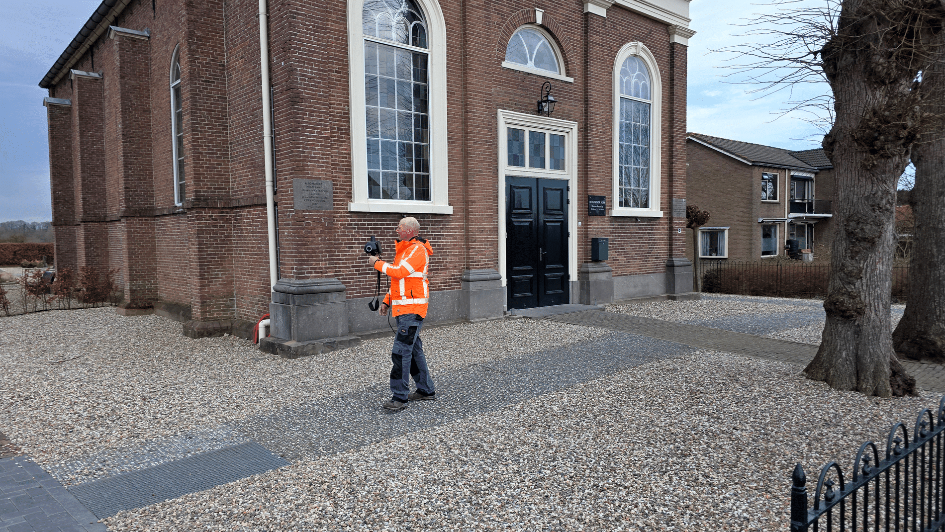
Platform on civil engineering, underground infrastructure, energy, construction equipment & construction machinery

Whether it concerns the construction of a highway, the reinforcement of a dike, or the building of a bridge, reliable data about the soil helps determine the success and safety of such projects. For more than a century, the Geological Survey of the Netherlands (GDN) has ensured that this knowledge is available.
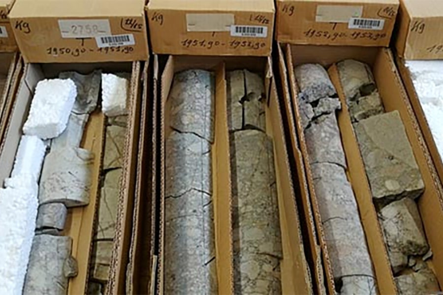
Since its establishment in 1903, originally for the purpose of coal mining in the southern Netherlands, GDN has been collecting and managing data on the composition of Dutch soil. The service, which has been part of TNO since 1997, supports governments, engineering firms, and companies with crucial information about the subsurface. From the top tens of meters, essential for the civil engineering sector, to deeper layers.
The GDN literally works from zero downwards, says Tirza van Daalen, director of the Geological Survey of the Netherlands. “Knowledge of the top tens of meters is indispensable for, for example, Rijkswaterstaat, provinces, municipalities, and engineering firms that want to know where it is safe to build and what types of soil are present. In addition, we map where groundwater is located and which layers are suitable for extraction or, conversely, need to be protected. Deeper in the earth lies the world of geo-energy: geothermal energy, CO2 storage, heat and hydrogen storage. The extraction of raw materials such as sand, gravel, and clay also falls within our ‘area of work’. In this way, we provide crucial information for the energy and raw materials supply in the Netherlands and support the government and industry in making major strategic choices.”
Two statutory tasks form the backbone of the GDN: the Basic Subsurface Registration Act (BRO) and the Mining Act. “Thanks to these systems, government agencies, engineering firms, and companies have access to the same reliable data. They supply data and use the same data for policy, design, and implementation,” explains Van Daalen. “Since the introduction of the BRO, the use of subsurface information has grown exponentially: companies can conduct preliminary studies more quickly and make better-informed choices on complex projects. In addition, companies and governments are increasingly turning to us for specific questions or project preparations. Whereas national maps used to be the starting point, specific 3D models are now being developed for local applications. This makes geological information more accessible, more up-to-date, and directly usable for design and implementation.”
The Dutch subsurface is densely occupied, but it is a very important factor for the future of Dutch society. “With knowledge and care, we at GDN make an important contribution to the major spatial and energy challenges of the future,” concludes Van Daalen. “Spatial planning of the subsurface is an issue in our country. What can be built on top of each other, what fits next to each other, where do you build on top of a layer of sand, clay, or peat? Insight into the subsurface is essential. That is the GDN's business model. We sometimes joke that ‘in the top 100 meters, we prevent costs, and in the deep subsurface, we earn money.’”