Platform on civil engineering, underground infrastructure, energy, construction equipment & construction machinery

Inaccurate and unclear project data cause duplication of work, failure costs and poor collaboration. Successful management of workflows is therefore the basis for efficient and smooth information exchange between different departments. They know better than anyone at Topcon Positioning Netherlands that software can play a crucial role in this. They developed the MAGNET software package, which streamlines workflows for both field personnel and the business office in every phase of a construction project.
A conversation with Wanda Brandsen and Jaydee Verhoeven of Topcon: "We want to make surveying for the construction industry as accessible as possible. With MAGNET, our software solution, the field and the office are connected in real time via the cloud. The software also works seamlessly with Topcon's precision, measuring instruments and machine controls. This allows the user to create and access the correct data anytime, anywhere, and will improve productivity across the entire project." Topcon is thus truly making a difference in geo-information.

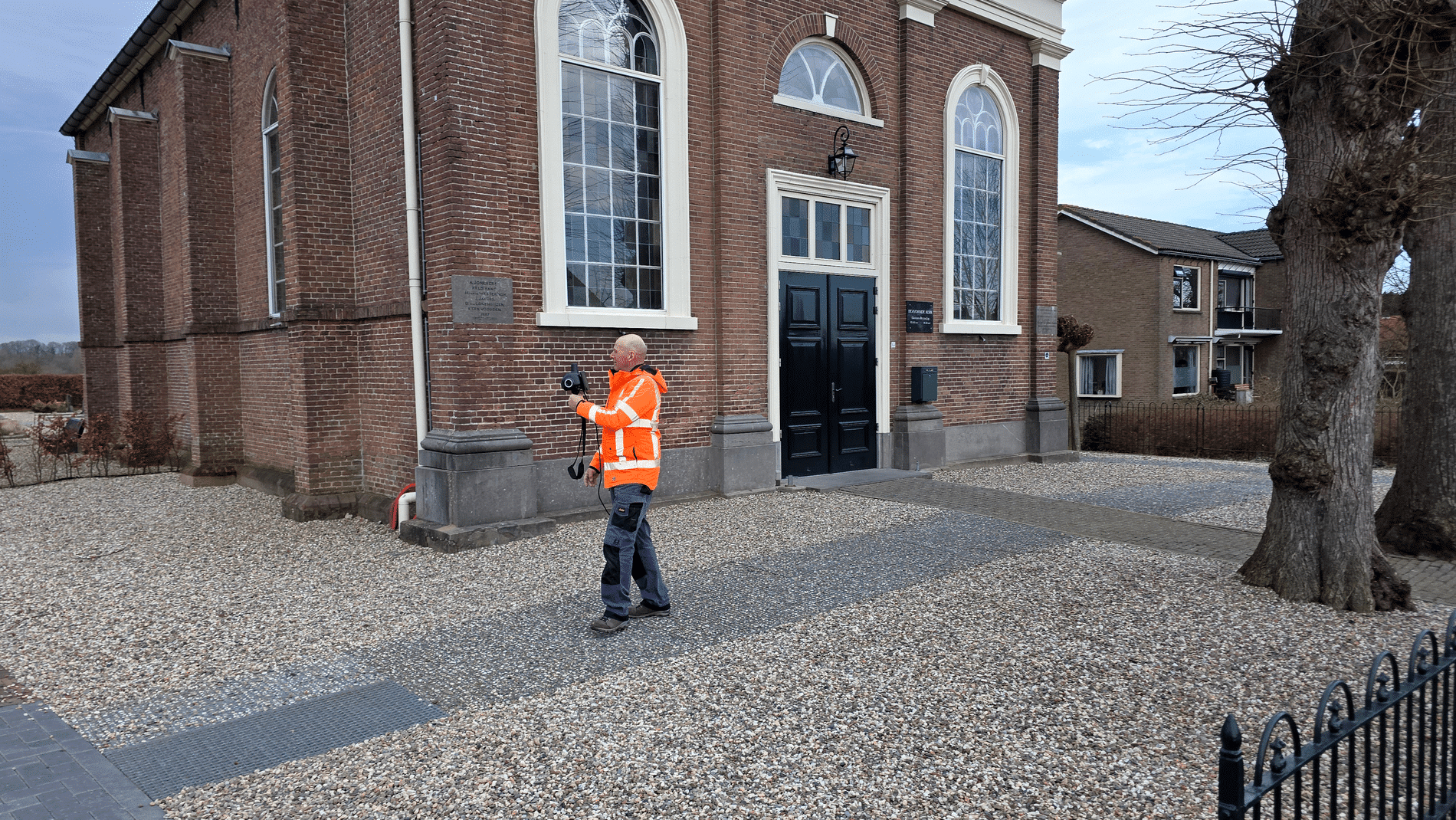
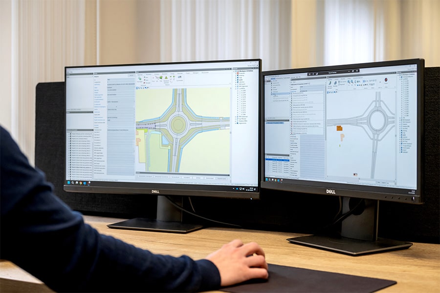
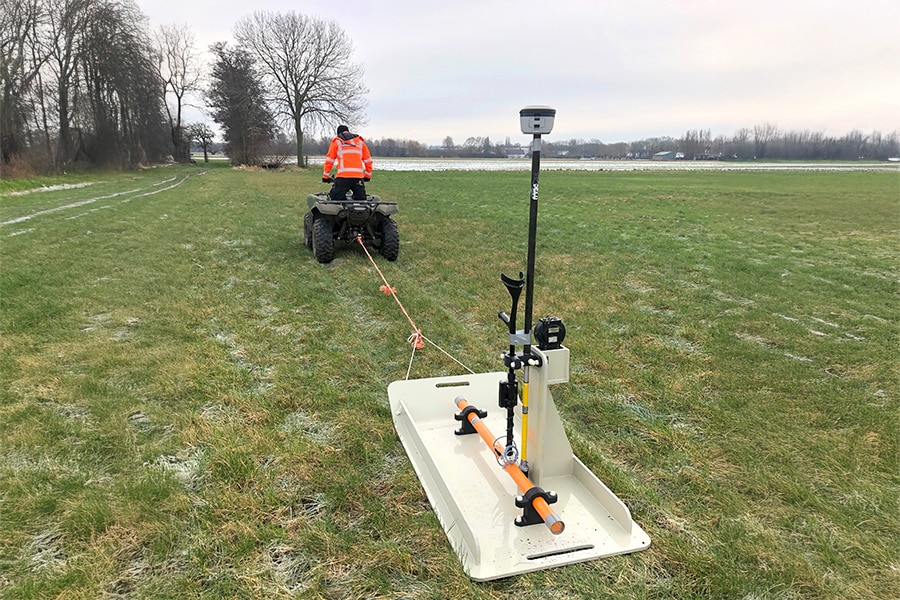
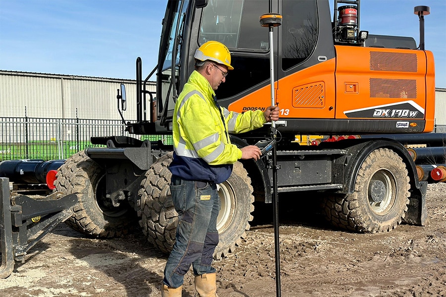
Optimal collaboration. The main idea behind the design of the MAGNET system that provides a complete solution for surveying professionals, among others. According to Verhoeven, Field, Enterprise and Office are the most frequently used elements of MAGNET within the GWW and construction industry. "On the construction site, people work with MAGNET Field for surveying, plotting and collecting surveying and construction site data with a total station or GNSS receiver. The simplicity and user-friendliness allows you to work quickly and efficiently, allowing you to really focus on the work at hand." All data through MAGNET Enterprise is stored in the cloud. The field, office and management thus work together in one secure environment. "The entire project team has access to accurate and consistent project measurement data anytime, anywhere." The strength of MAGNET Office, according to Verhoeven, is that employees in the office can convert simple 2D drawings into complete 3D drawings and models. "This 3D model can also be used for volume calculations, setting up soil balances and accurately calculating and invoicing them. All the data can then be linked to Topcon's machine controls in the field and so we have come full circle."
The continuously developed software from Topcon guarantees higher accuracy, job satisfaction and more efficient work. The result? The prevention of duplication and a reduction in failure costs. Brandsen: "All machines and measuring instruments in the field can communicate with each other. The software is the key! You keep a grip on the processes, workflows and projects." Verhoeven concludes, "With the right software and equipment, you achieve the right results and work as productively and efficiently as possible."

Topcon Always one step ahead Topcon Positioning Group develops, manufactures and distributes products and solutions in the field of accurate positioning and environmental surveying. The population is increasing, so more and more cities, roads and bridges will be needed. People must be able to get around and there must be enough food. So there is a lot of work [...]
Bekijk Bedrijfsprofiel