Platform on civil engineering, underground infrastructure, energy, construction equipment & construction machinery

In 2015, Kempkes Landmeten meticulously mapped the Waaldijk between Tiel and Waardenburg. Initially for Arcadis on behalf of Waterschap Rivierenland, for which the surveying firm used a, at the time, revolutionary technique. Now Kempkes Landmeten is directly involved in the execution for construction combination Mekante Diek.
"In 2015, we were engaged to perform the surveying work on the 19-kilometer section of dike between Tiel and Waardenburg," said Rob Kempkes, director of Kempkes Landmeten, which specializes in data acquisition, plotting and recording. "At the time, we mapped the situation outside. Then a digital terrain model (DTM) was made from it, which was used by the water board for the tendering procedure. Interested contractors could use the model to determine a price and bid for the project."
The 19-kilometer stretch was mapped by Kempkes Landmeten in 2015 using a brand new scanner. "The Leica Pegasus 2 was revolutionary of its kind at the time," Rob knows. "The device collects 1 million points per second with millimeter-level relative accuracy in X, Y and Z directions. It also simultaneously takes 360-degree panoramic photos. Surveying the dike section resulted in a huge amount of data, a point cloud that we 'strung' together and used as input for the DTM."

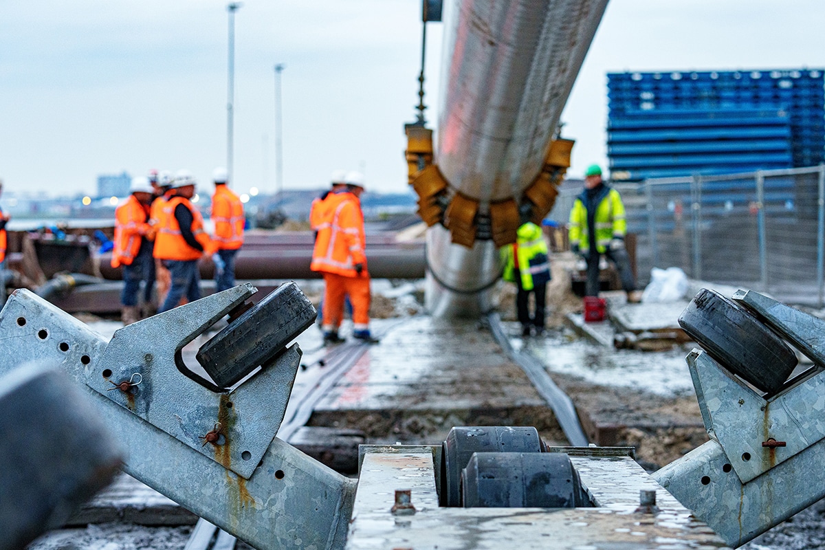
Even after being awarded to Mekante Diek, Kempkes Landmeten is responsible for the surveying on the project. "And then the process actually starts all over again, only now we work for both Mekante Diek and the client," says Jan de Haan, Project Manager at Kempkes Landmeten. "At the moment, one and sometimes two surveyors are continuously running on the project who, at the direction of Mekante Diek, set out the points in the field. And that can be anything. For example, at locations where sheet pile walls are being placed or where temporary harbors are being constructed. In addition to plotting and measuring, we also check the 3D machine models on the project."
Seven years ago we started the project with a revolutionary technique, we will soon be able to finish it with the latest development in this field, says Machlon Feenstra, Project and Commercial Manager Scanteam. In fact, Kempkes Landmeten was the first in the Benelux to put the Leica Pegasus TRK700 Evo into operation. "Compared to the Pegasus 2 a world of difference," Machlon knows. "This device generates 2 million points per second and the panoramic camera delivers significantly sharper pictures with 120 megapixels. At 10 meters away you can still count the blades of grass, so to speak." Rob adds: "Our scope now still includes sizing and staking out, but it would be nice if we could conclude by acquiring data for the revision models at final acceptance. Or possibly even in the interim in the various subareas."
The latest Leica device enables Kempkes Landmeten to offer creative solutions, even for the complex issues. "Depending on the situation, the scanner is deployed on a boat, quad or car. In this way, we can acquire an awful lot of accurate data in a fast and safe way," concludes Rob Kempkes.