Platform on civil engineering, underground infrastructure, energy, construction equipment & construction machinery

The history of Tjaden Consulting Firm dates back to the 19th century. In 1895, the first family members of this ancient family business were already active in the market. So it is no wonder that they have a wealth of experience in the field of geotechnics and geohydrology. They are your partner for geotechnical soil testing (probing, drilling, monitoring wells et cetera), soil mechanics & foundation engineering consulting and geohydrology and drainage consulting.
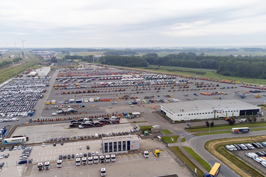
The activities of Tjaden Adviesbureau focus on advising their clients as well and thoroughly as possible in, among other things, ground, road and hydraulic engineering. To this end, they not only have all the necessary knowledge and skills at their disposal, they also have the specialized vehicles and machines for probing and soil mechanics analyses under their own management. For places that are difficult to reach for the larger vehicles, they have a mini tracked vehicle. This makes them the more ideal partner for soundings for the purpose of, for example, drainage advice.
In addition to soundings, they also carry out all kinds of other soil-mechanical analyses. With the results, the engineers of Tjaden Adviesbureau give sound foundation advice, provide settlement analyses and are progressive in construction pit advice.
When it comes to geohydrology, the people at Tjaden also stand their ground. They perform geohydrological calculations and draw up recommendations regarding construction pit drainage, return drainage, site drainage, soil cold/heat storage, water management plans and hydrological impact studies (flooding, drought damage), among other things.

Changes in groundwater levels are not always desirable and can lead to environmental risks. The monitoring plan defines the maximum permissible lowering or raising of the groundwater level. At Tjaden, they map the natural fluctuation of groundwater for you and we can monitor the groundwater level at your project 24/7.
In order to measure groundwater levels, monitoring wells are used. These monitoring wells are placed at various locations in and around the project site. The water level can be measured manually or with a data logger. The data logger automatically records the water level and publishes it in their online portal. Depending on the requirements set by the competent authority (municipality, province or client), the data logger can be set to take measurements every minute, hour or day.
Thereby, one can also set various alarm and limit values in the monitoring portal, so that the responsible authority will automatically receive an e-mail when a certain limit value is reached.
Louwers Mediagroep
Schatbeurderlaan 6
6002 ED Weert