Automating deformation measurements
With high-quality, accurate and reliable devices
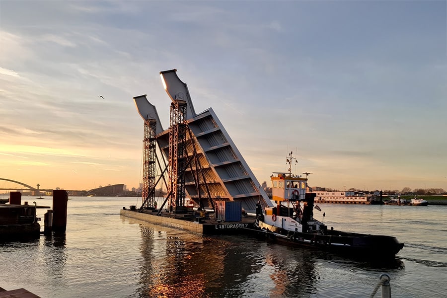
Information about deformations and small movements of objects, such as bridges and quays, is called deformation. If the deformation becomes too much, the function of the object may be compromised, causing blockages. Examples are the inability to close bridges or the tilting of quays. The deformation of ground bodies, so-called settlement, should also be measured. Basetime originated from this expertise.
"The need for more grip on the movement of terrains and objects is growing. The demands for precision and reliability are increasing and people want to use the information quickly, automatically and in their own management environment," said Martijn Arkesteijn of Basetime.
To fulfill this need, Basetime has developed the Locator One. Initially designed for automated measurement of pocket beacons, this innovative device is also ideally suited for monitoring cofferdams and sheet piling.
Automated data collection
The Locator One is Basetime's first device and was developed to autonomously monitor, with the help of pocket beacons, the ground level and additional applied soil layers of, for example, newly constructed sites, roads and dikes. By mounting the devices on top of placed pocket beacons, settlement measurements are collected automatically. This is done at a predetermined time. The highly accurate data this yields are transmitted via the cloud to the Basetime dashboard or an in-house management system using an API.

Sustainability and predictability
The Locator One operates without batteries and is CO2 neutral during operation. Thanks to autonomous monitoring, surveyors do not have to come to the project periodically, resulting in a saving of time and fuel. It also increases site safety and allows scarce surveyors to be deployed on more high-value activities. A great win-win solution in these times of staff shortages and an increasing need for sustainable solutions.
In addition to the aforementioned benefits of sustainability and automation, the Locator One provides accurate data. The combination of precise measurements at a predefined time increases the basis for making reliable predictions of settlement behavior, among other things. This provides earlier insight into the stabilization period and the embankments can be placed more precisely, and therefore often earlier, responsibly. Projects can thus be delivered faster, which contributes greatly to the project result, brings CO2 savings and results in satisfied local residents and/or clients.
Applications
Due to the wide variety of settings, the Locator One offers multiple application possibilities. These include the number of measurements per unit of time; from once to 24 times (or more often using external power) per day. Automatic signal and limit value warnings can be set, allowing one person to monitor a larger number of projects. The system can also be used internationally, as the data can be presented in any global coordinate system.
"Data and automation form an important basis for making reliable predictions in the movement behavior of an asset," Arkesteijn says. "Only if we as a sector can make this digitization and automation shift will it be possible to realize the enormous infrastructure task we have affordably, ecologically and with the people available."
Heeft u vragen over dit artikel, project of product?
Neem dan rechtstreeks contact op met Basetime B.V..
 Contact opnemen


