Platform on civil engineering, underground infrastructure, energy, construction equipment & construction machinery

Laser scanning and photo-based image processing have become indispensable in today's surveying and are making field-to-office workflow increasingly efficient.
An essential part of that workflow, in addition to quality and accurate sensors, is the software. It is the link to get data from the field to the customer or end user in the right form and vice versa, from design to dimensioning on the project. New innovations place new demands on the software, and three features are absolutely essential.
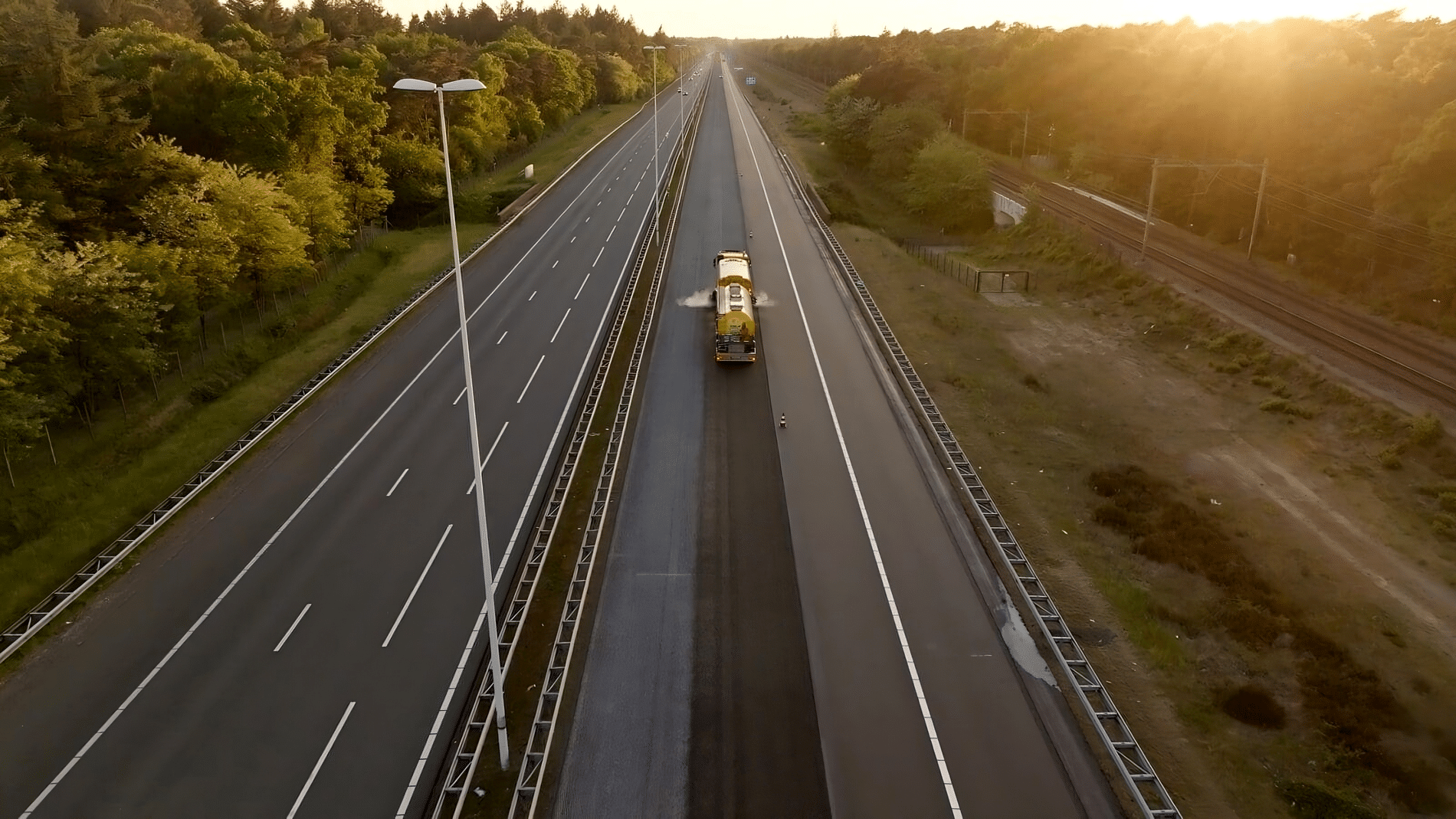
Surveying today can be so much faster by using different surveying techniques. In addition to the traditional Total Station, GNSS and the water level device, the 3D laser scanner, UAV and a photogrammetric solution such as the Leica GS18 i, can now be found in the van of many surveyors and surveyors. To efficiently process data from these sensors, the software must be able to combine and integrally settle data from these sensors. Leica Infinity is the processing package from Leica Geosystems that makes this possible. Moreover, the settlement takes place with the standard among settlement software in the Netherlands MOVE3.

Being able to process and settle data integrally also means that the software must be able to visualize data in a clear manner. With Leica Infinity, the measured data can be viewed fully in 3D, possibly together with 3D design data (CAD/BIM/GIS). The data is fully traceable and various reporting options are available for quality control and customer consultation, such as pointcloud-based difference reporting.
In our digital, online world, it is no longer imaginable to have to transfer data via USB sticks. It works much more efficiently if data can be transferred and retrieved online from surveying sensors and, for example, earth moving machines. This can be done in Leica Infinity directly within the Leica environment of hardware and software, but also via commonly used platforms such as Autodesk BIM360, BricSYS 24/7 and Bentley Projectwise. Also linking external data sources makes the user have a better overview of the project with all available data sources, from design, to measurement data to online data, such as aerial photos and cadastral information.