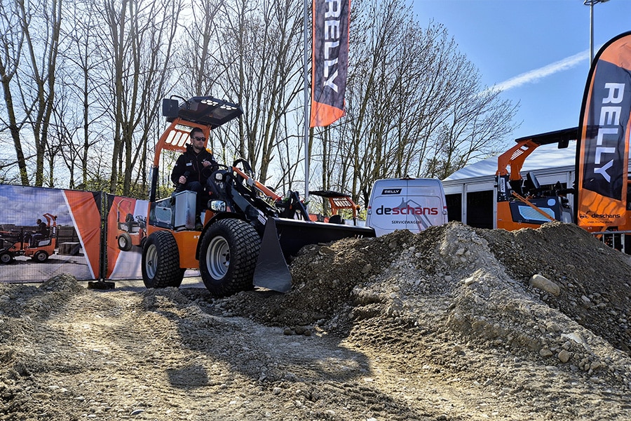
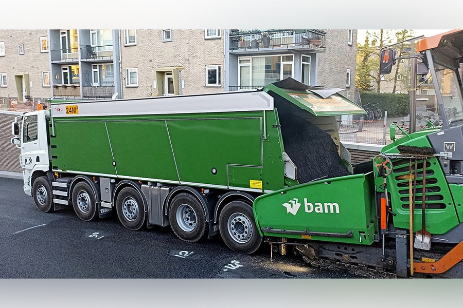
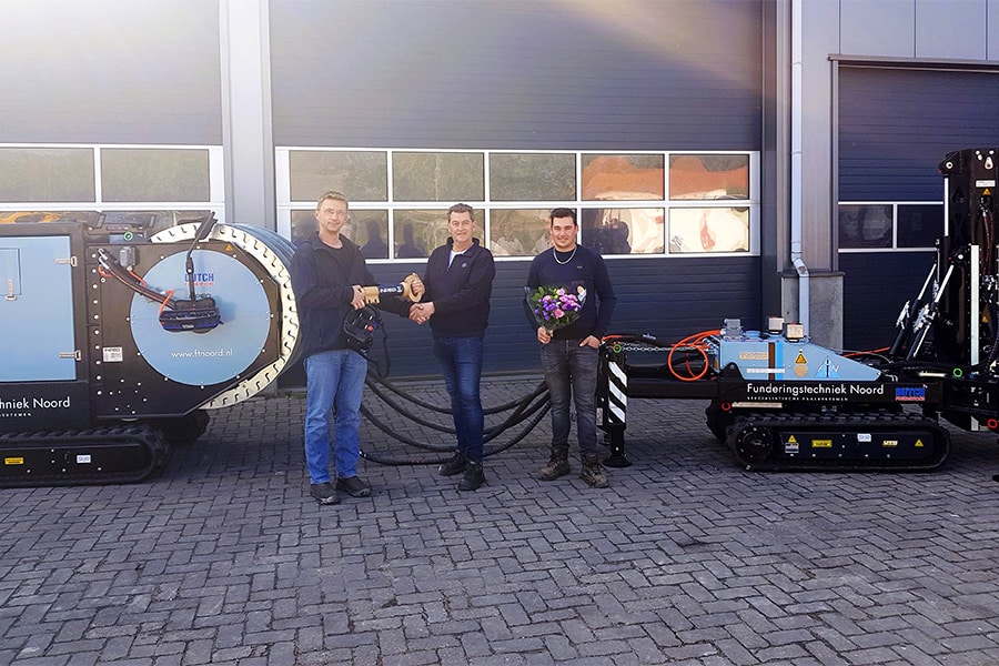
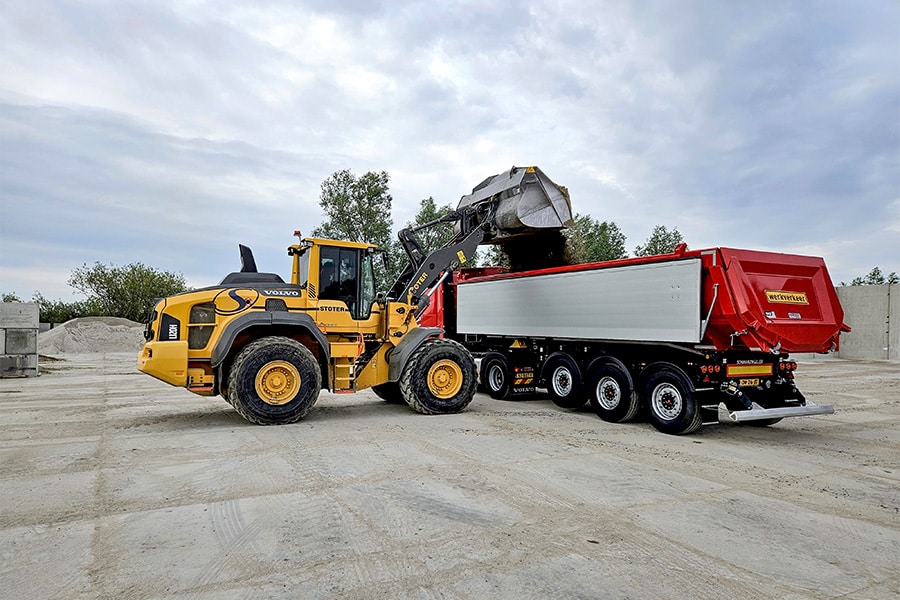
Platform on civil engineering, underground infrastructure, energy, construction equipment & construction machinery

About twenty years ago, "geo-maatschap" Geomaat was founded by three northern contractors. Two decades later, the company has branches in Groningen and Amersfoort and over a hundred specialists work on a wide range of expertise. For example, Geomaat is involved in surveying, measuring, 3D laser scanning, mobile mapping, drone mapping and smart data analysis.
Bob Wind, branch manager in Amersfoort, talks enthusiastically about the innovations and developments within the surveying engineering firm. "The infrastructure sector is embedded in our DNA. We work for many large but also for smaller contractors throughout the country. Take for example the Aanpak Ring Zuid in Groningen, the Vechtdal connection and the Rijnlandroute. Besides road construction, we are also active on and around the railroad, offshore and residential and commercial construction. Our organization is characterized by a desire to improve. Technology moves fast, also in our company. For example, we have a Process & Innovation department that works daily to improve our work process and builds new smart software and tools. Thus, development within our various areas of expertise never stands still. In fact, our Process & Innovation department is currently developing Artificial Intelligence techniques."
"In collaboration with TNO, we are developing software for deploying Artificial Intelligence," says Wind. "With this we make smart calculations and automatic analyses on our 3D point clouds. We use neural networks and learning systems, just like Google does. The goal of the AI techniques is to fully automatically assign an identity to all those billions of points in the 3D point cloud, to identify all objects. Think of objects such as trees, lines, guide rail, markings and light poles. A development that will make life much easier for road builders but also for road managers. At a single glance you can see, for example, how the light masts look or what the condition of the road surface is."

Speaking of the state of the road surface, one of the latest developments is Geomaat's C5-IRI tool, with which they determine the longitudinal unevenness of the road surface from the 3D point cloud. Wind: "So this is how we digitally make a calculation of the road's ride comfort. So much information can be extracted from the scan data. The great thing is that if a contractor has another question about the same section at a later time, we open up the point cloud and provide this information as well. We call that: one-time acquisition for multiple use."
The self-developed tools and software are applied by Geomaat in the Infra Totaal concept. "In large infrastructure works, we often play a coordinating role," says Wind. "That makes us involved in the entire project. In this, we follow the full cycle of the infra work. We arrive at a work first (recording zero situation) and leave it last (completion file)."
From the data they acquire with the Streetmapper-IV, Geomaat realizes machine models to control asphalt and milling machines. "We support this with the knowledge and experience of our road inspectors, asphalt designers and 3D experts. Precise dimensioning is the foundation of a successful infrastructure or construction project. Our dimensioners are therefore closely involved and, together with the work planners, ensure proper preparation. Upon completion of the project, we re-measure the situation and create an as-built/revision drawing for the completion file."
"Our motto: passion for innovative surveying and measuring. That is what we all work on together at Geomaat," Wind concludes proudly.
Louwers Mediagroep
Schatbeurderlaan 6
6002 ED Weert