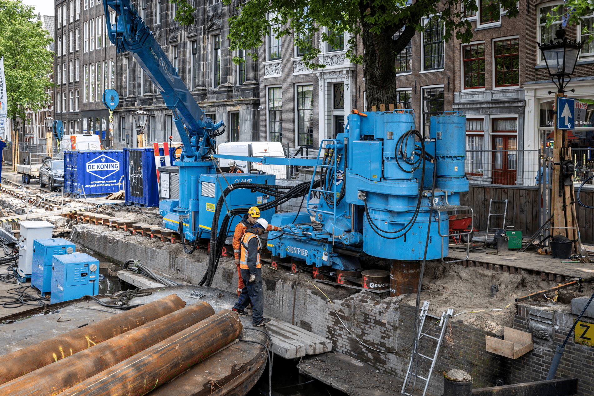
Platform on civil engineering, underground infrastructure, energy, construction equipment & construction machinery

More and more laws and regulations from the government stipulate that a client must prove what he is doing. Even when performing earthwork construction. This is a hot topic for smaller companies that do not use GPS equipment every day and normally hire expensive equipment or surveyors for this. But now they too can quickly and accurately map all groundwork disciplines.
"We make measuring and plotting with GPS understandable and accessible through our competitive pricing," says Alex Groenendaal, owner of Surveyour. The company supplies high-quality GPS measuring and plotting equipment for construction, infra, GWW and agri. "But we offer so much more," Groenendaal continues. "Our customer can continue to rely on the knowledge and support of our Surveyour team."
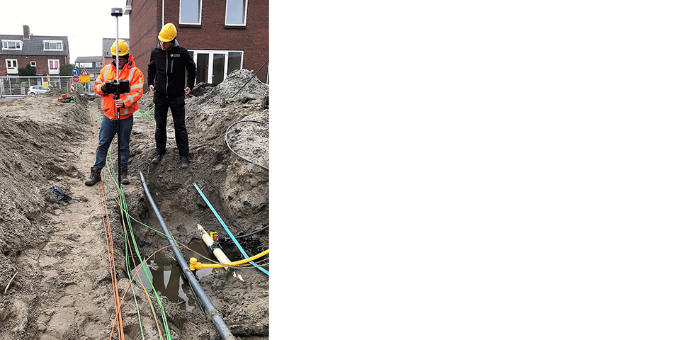
By traversing the route just once through the entire trench, GPS measurement of all utilities is done and all important couplings, saddles and valves are recorded.
Support and service
"When purchasing our Surveyour GPS measuring stick, the end user receives a short instruction from someone from our team. This person remains the permanent point of contact because they know best where and what additional support is needed. The equipment is very user-friendly and one can immediately start measuring all utilities. By traversing the route through the entire trench only once, all important couplings, saddles and valves are recorded. If there are any questions during the measurement work, Surveyour's contact person can help on the fly. By watching the screen directly on the Internet, questions can be answered effectively or actions can be taken if required. In the process, the end user easily masters the basic functions -and more and more additional functionalities."
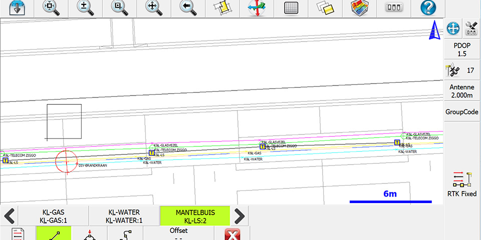
All infra disciplines are measured in one pass. You can immediately see what you are measuring because of the clear built-in coding, including name and color. The measurement can be exported as a drawing with all lines and points in its own CAD-layer.
High quality accessible measuring equipment
Surveyour provides high-quality measuring equipment that is user-friendly and reliable. "You can use it quickly, efficiently and at centimeter level to measure and plot. Practically all end-users (even without surveying training) are up and running in no time and achieve quick results. The accompanying measuring software is suitable for data files in the most common file formats. The measurement work acquired in the field can be processed in an easy-to-learn CAD software package: Pythagoras CAD. It perfectly suits all needs for the GWW sector. We have an excellent partnership with our partner Pythagoras, especially since they have the same way of working: providing one-on-one support at times when it matters." Groenendaal concludes, "With the Surveyour GPS measuring stick and the Pythagoras CAD software, you transform the GPS measurement into a professional report for your client."