GPS: implemented from a to z in landscaping and earth moving
"Within our Design & Construct strategy, the link to GPS is quickly established." So says Remy Luijten, director of Luijten Group. As Luijten Groentechniek, the company started in 2003 with the construction and maintenance of private gardens. The company has since grown into a major service provider in green space, GWW and earthmoving. "We develop, execute and maintain outdoor spaces. From gardens to complete nature and landscape projects, also for the business market," Luijten explains. With an arsenal of machines in earth moving, cleaning and transport as well as all civil and water works under our own management, the company is a serious player in the market.
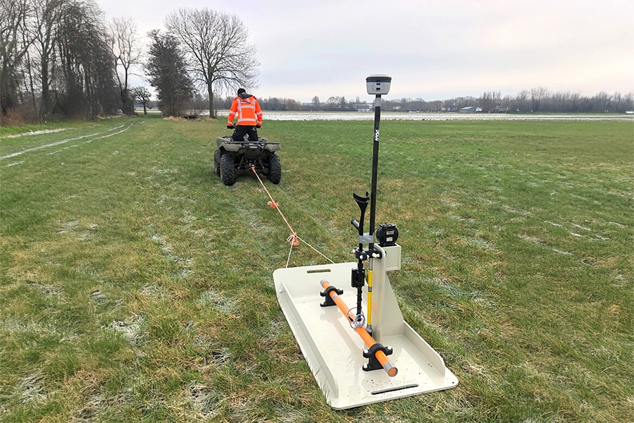
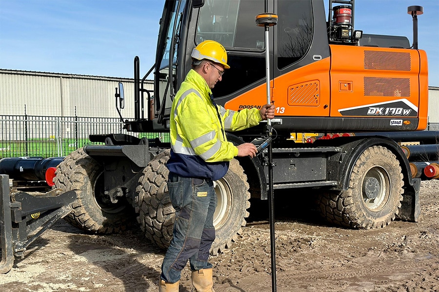
"Virtually all projects within Luijten Groentechniek are surveyed on the basis of GPS," Luijten continues. "For this we work with the GPS measuring stick from Surveyour. When surveying new sites, plotting details in new projects and mapping new sites for site design, the measuring stick is ideal."
Simplicity, user-friendliness and service
Luijten is particularly pleased with the simplicity and user-friendliness of the Surveyour GPS measuring stick and accompanying software. "The yardstick can be used by everyone in our company: the tablet is based on Windows and therefore very recognizable. The yardstick itself is quick to assemble so you can get started right away. And should you ever run into a challenge, Surveyour is always ready to help. If necessary, they take over the system so that you can continue straight away. Now that's service!"

Surveyour's GPS measuring stick is universal; so it also works well with 3D machine controllers of different brands.
Reliable connection, accurate measurement
"Another big advantage is that Surveyour uses all types of available satellites, so you always have a reliable connection. That benefits accurate measurement." Luijten cites a number of projects where the Surveyour GPS measuring stick has been put to full use: "At SnowWorld, the yardstick was used to its fullest extent to measure the hilly terrain. And also the construction of 36 luxury vacation villas for the Dormio Resort in Maastricht, is fully GPS-based."
Interaction
"The data generated when surveying, is processed in our CAD software and then the data goes to our excavators with Trimble machine controls. A perfect interaction between the various GPS systems," Luijten believes.
Technology of the future
Luijten concludes, "We are a total service provider and that is inseparable from continuing to develop and invest in technologies. For us, Surveyour is part of that, with its excellent products, software and service!"


