Platform on civil engineering, underground infrastructure, energy, construction equipment & construction machinery

"That we have mapped every square centimeter of the Netherlands with our cameras and LiDAR (laser) scanners is no exaggeration. We can deliver all relevant data on buildings, vegetation, infrastructure, water boards et cetera to interested parties. Including the right kind of visualization, depending on the intended application." Speaking is Thomas Pelzer, Global Product Manager at Cyclomedia Technology.

"By the way, we deliver the camera images and LiDAR data not only from the ground, but also generated from the air. We successfully use a combined camera and LiDAR unit on our scanning vehicles, this is a unique, proprietary and patented recording system from Cyclomedia," Thomas continued. "Every 5 meters we take a new recording. With the data we have in our library, we can serve any municipality, any water board and anyone who wants to have 3D data about a specific piece of the Netherlands. We are constantly working to keep our library current and enrich it with new data."
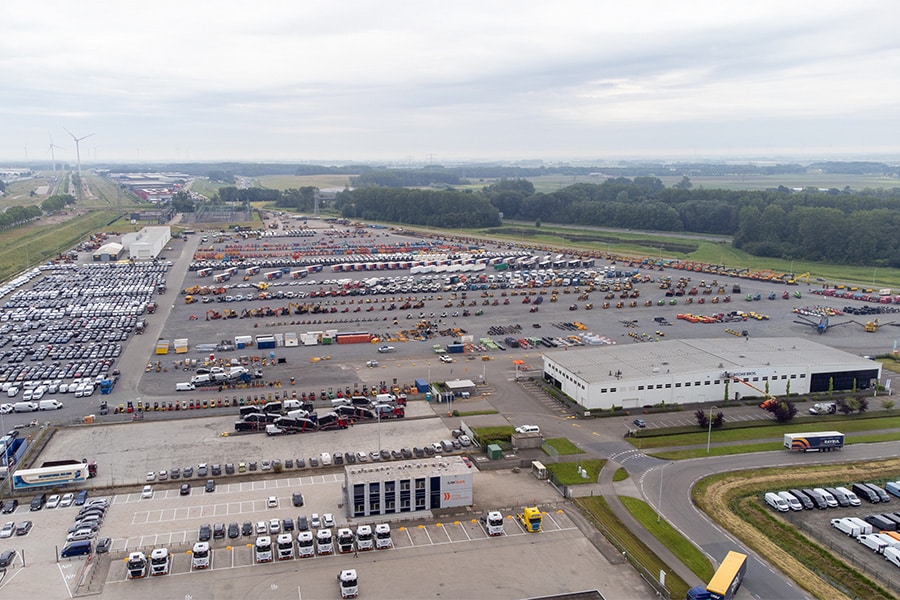
Indeed, with single images and LiDAR data, all of the Netherlands is already covered by Cyclomedia. The LiDAR data is displayed in so-called "pointclouds. "With the combination pointcloud-camera images, also called 3D-textured mesh, we will start this year to make nationwide coverage based on aerial collection. We call this product 3DNL, by the end of this year we will be the first country in the world to have a country-wide, photorealistic 3D model," Thomas explained. The applications of the 3D data offered by Cyclomedia are endless. Based on multiple years of scans, even predictive work can be done. Thomas gives an example: "If you 3D scan a dike body every year, you can start comparing the data. With all the anomalies you find, you can start to recognize patterns and predict how that dike will look at some point in the future. 3D environmental data is very useful for pilots, field labs, R&D work, and so on. We are currently using our data to work on assignments from water boards or, for example, local authorities. For example, our data is used to measure dike subsidence, map changes in vegetation and register buildings. However, our customers also include other governments and certainly business."

When Cyclomedia has converted all of the Netherlands into 3D data using the camera/LiDAR method, the Netherlands will have a Digital Twin of its own. "Everyone needs 3D data. Cyclomedia is traditionally a data supplier. Within GWW, our 3D data is valuable within all sectors, hydraulic engineering, road construction and when working in the ground, in tunnels for example. You often see companies plodding to do 3D surveys themselves. Expensive and time-consuming, the data is basically all there already. The instant availability makes this much easier to arrange through us than doing it yourself."
Much is possible with LiDAR, for example, the technology can be used to detect archaeology, water levels can be simulated. "When we join forces in the digital field, then we can work enormously wide."
The 3D data generated by Cyclomedia can be used in a variety of ways to make something visible. "Besides visualization in our own platform Street Smart, you can feed a Unity or Unreal engine with our data and convert the pointcloud to rendered image. So for good rendering, we can provide all the basic data, which can be applied not only in Unity or Unreal, but also in all kinds of CAD programs." Cyclomedia is above all a supplier of data and owner of the self-generated data. "Depending on the client, we can give certain extensions to the rights of use, provided it is not commercial," Thomas explains.
The intellectual property of the data belongs to Cyclomedia, therefore the responsibility for the data also. "We work 100% compliant and in accordance with the AVG. For example, we fully automatically detect and blur faces and license plates. The advantage for our customers is that we ensure our data and hardware are always up to date. Our recording system on cars is patented, as mentioned, and the deployed aircraft use the latest hybrid sensors from Leica. We are working towards a resolution between 2 cm and 6 cm for aerial photos, offering a multitude of pixels compared to open data," Thomas concluded.
Louwers Mediagroep
Schatbeurderlaan 6
6002 ED Weert