Platform on civil engineering, underground infrastructure, energy, construction equipment & construction machinery
The world and its infrastructure continues to change. It is becoming increasingly crowded, both above and below ground. Nazca Solutions unlocks surface and subsurface data and translates this raw data into information that even a non-expert can use. Geodata, sensor data and other data are immediately visible and applicable through Nazca's intelligent solutions. Marie-Claire Eichhorn of Nazca Solutions clarifies this with a number of practical examples.
Environmental data make an important contribution in the specifications, opportunities and risks of a site or area. Nazca develops innovative solutions for collecting, storing and accessing data around the living environment and in the subsurface. "The infrastructure sector is increasingly confronted with data," says Eichhorn. "We act as a knowledge partner in the chain that collects, processes, validates and unlocks data through smart software, so that clients can draw sound conclusions."
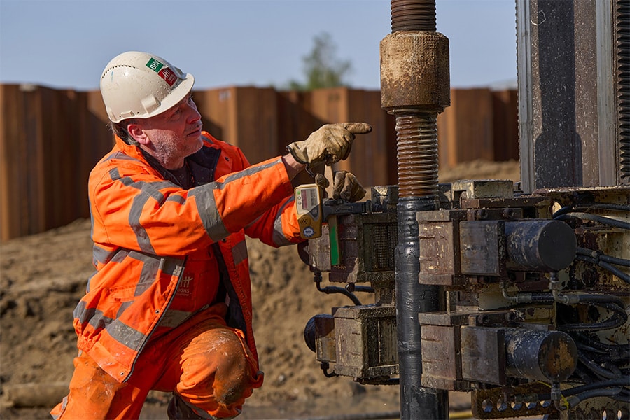
In the field of "safe digging," Nazca collects and combines various data sources of issues that excavators may encounter in the soil. Information on unexploded explosives, soil contamination, PFAS, et cetera is essential. "Based on this, the CROW safety class is determined as well as the safety precautions to be taken." Working safely is paramount. Knowledge derived from soil information helps in making strategic choices for a project. Eichhorn gives an example: "It is interesting to move a newly laid cable 5 meters, for example, because it is less 'crowded' in the subsoil there. We can provide such optimizations with our intelligent solutions. This ultimately results in significant savings, as we have already proven several times."

Marie-Claire Eichhorn, Nazca Solutions
Another of Nazca's progressive solutions are Internet of Things (IoT)-controlled groundwater monitoring networks. "Normally, groundwater levels are measured with dipsticks. Our latest solution focuses on automatically generating groundwater level measurement data. This involves installing various sensors that monitor the groundwater level in real time. We process this data and combine it with weather data from KNMI. This allows us to draw some interesting conclusions and make connections, such as whether an elevated level is the result of high precipitation." Another example is a pilot with the municipality of Houten. "Here we placed sensors in the hanging water, in the root zone of trees. Instead of structurally watering the trees every week, green management is now intelligently controlled and water is only given when it is needed."
"Turning data into information, with the goal of making companies work not harder, but smarter with the help of our intelligent solutions," Eichhorn summarizes. "Today that information is still mainly accessed through dashboards, but we are already working on augmented reality as well. For example, people in the field can digitally view a bore through these latest techniques in an app insightful. A great tool also for enforcers who can get all the information much faster. And in this way, together with our chain partners, we create a better living environment."
Louwers Mediagroep
Schatbeurderlaan 6
6002 ED Weert
 © 1987 - 2025 Louwers Media Group.