Platform on civil engineering, underground infrastructure, energy, construction equipment & construction machinery
Big Data, neural networks, AI, Analytics, data warehouses, warehouses full of servers, privacy, cookies. The top 5 companies are trying to collect as much data about us as possible. All those loose fragments of data, say nothing yet until the algorithms have shown the connections. As soon as there are connections they try to entice you to buy stuff. They are not smart yet: if I go to 2 online stores to look for an egg cooker and I order it from one, the other will keep placing ads until I clear my cookies.
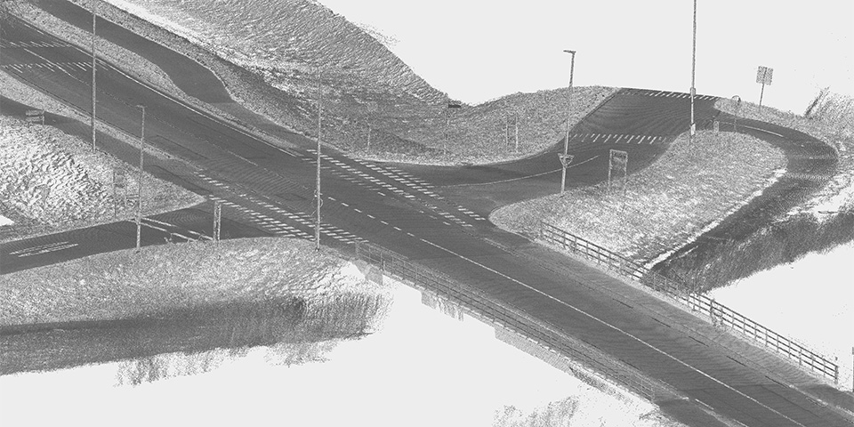
3D object point cloud.
About 35 years ago, I went to the Open Day at the MTS in Arnhem. My interest was in electrical engineering. When I entered, there were several devices set up in hallway. These gray cabinets turned out to be computers. Not the PCs we knew later; these were industrial computers that could take a beating. Due to the passion of one of the teachers, the Land Surveying Department was the only one at MTS to use computers. The drawing came directly from a plotter. I was sold and therefore chose to study land surveying.
35 years later, automation still plays a crucial role in our industry. First the hand-made drawing was replaced by a digital version. Now we talk about the "digital twin," an exact copy of reality with all kinds of sensors connected to it. So that the computer perceives the outside world live.
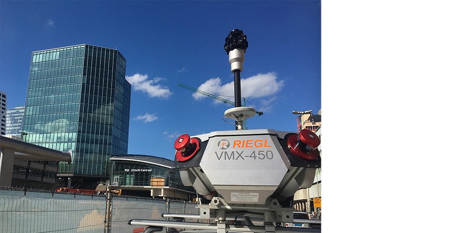
Mobile scanner at work at Utrecht central station.
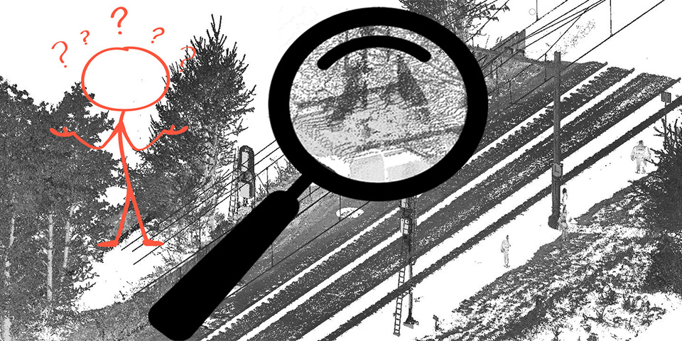
Surveying has completely changed in the last 35 years: where previously surveying was done point by point at the walking speed of a surveyor, it is now done at 2 million points per second and at a speed of 80km/h. The complete outside world is mapped by the mobile scanners. Nothing, but nothing is missed, a broken down car or cracks in the asphalt, the laser beam captures it. All these individual dots consist of a coordinate and an intensity value of the laser's reflection. An individual dot does not know who its geographic neighbor is, it may be thousands of records away in the file. There is no intelligence in this file.
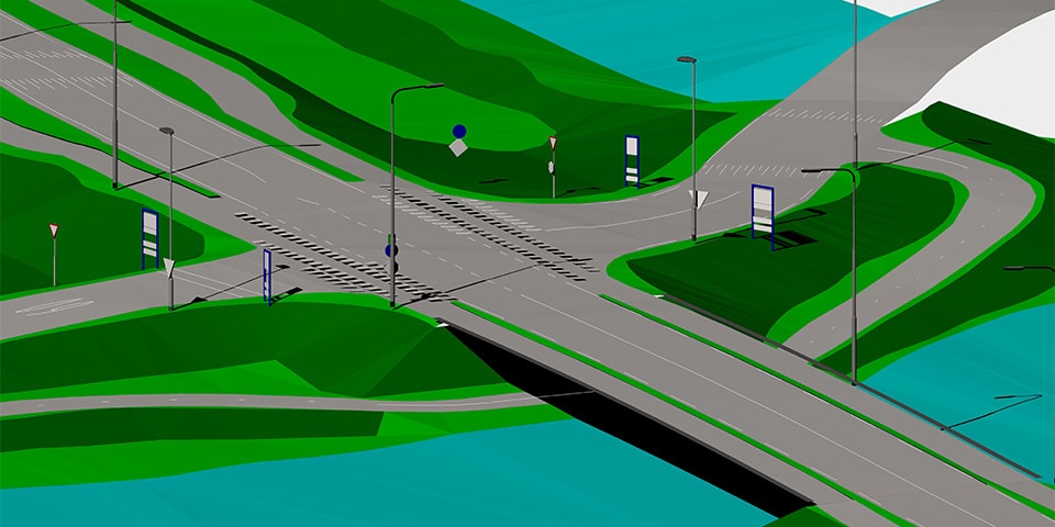
3D object elaboration.
Manually translating all these dots into meaningful information is monk's work. Computers get bogged down by the amount of data; specialized software is needed for processing.
Making a quick map is out of the question. As is the case with the bits of data that Google collects about us, algorithms will have to be developed to see the connection. Specialized Geo companies are rapidly developing these algorithms to generate meaningful information from these terabytes of point clouds. Some companies specialize in saying something about the quality of the road surface. Other companies are able to fully automatically model objects such as traffic signs, lampposts and the like. In terms of technology, these companies are not that far behind the Tech giants, they just do it much more accurately.
I have never regretted my choice to study surveying; automating surveying is and always has been fascinating.