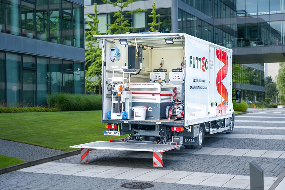
Platform on civil engineering, underground infrastructure, energy, construction equipment & construction machinery
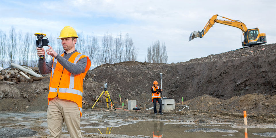
Visualizing a design with high accuracy on site, SketchUp and Trimble's GNSS technology reinforce each other in the new and user-friendly visualization tool: SiteVision
Visualization is playing an increasingly important role in civil engineering. With the combination of Augmented Reality and accurate positioning, you can now visualize designs on location down to the smallest details. This makes it possible, among other things, to view future bridges, roads and buildings to scale and at exactly the right location at any time during the construction process. Not only is the object visible, but also the connection to the existing environment.
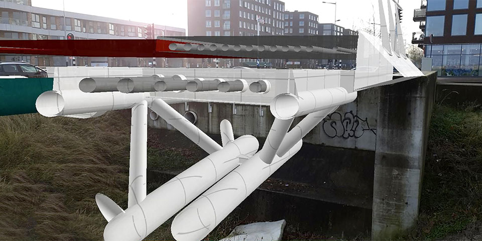
Visualize connection to existing infrastructure. (Image: Sweco)
SketchUp is already no longer an unknown player in the world of 3D visualization. It started as a drawing aid for architects who had to keep up with digitalization in drawing rooms. SketchUp is a so-called "surface" modeller. The user draws based on lines, and those lines make up a surface. Put the planes together, then the shape is "watertight" and the user has an object or component. "In this way, you can quickly bring a design or model to life on your screen. The great power in this is that you can assign a name and information to the object," said Jack de Moel, SketchUp specialist at SketchUp Pro distributor Design8. "To measure is to know, they always say. Just that information is easily and quickly accessible in SiteVision!".
"Suppose you are sitting in the office and the foreman wants to know how the next load of hollow-core slabs is still going to fit on the construction site. On the virtual construction site in SketchUp, you then draw in the component and link information to it. Then you synchronize the project in Trimble Connect and your foreman can immediately see via SiteVision whether it will fit between the containers already there. Not only that, they also see when the load is coming," de Moel concludes.
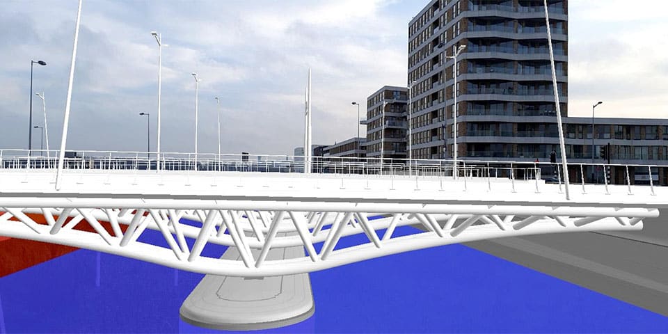
Combine spatial data with reality. (Image: Sweco)
"SiteVision is a handy and user-friendly system," says Rob Bik, New Business Development Manager at Geometius. "A unique feature of Trimble SiteVision is the very high accuracy with which designs are visualized. The system uses the best available correction sources. Here in the Netherlands that is VRS Now, but if you cross the border the Trimble corrections hub automatically selects the most suitable correction source." SiteVision is also an efficient tool for tracking project progress. In fact, not only can you see progress visually, but it is even possible to measure between design and reality. This makes it quick and easy to check that the work done matches the design. SketchUp and SiteVision are both Trimble products and therefore work seamlessly together. "Through the cooperation with Design8, there is a lot of knowledge and experience with both hardware and software. We complement each other well and the user benefits from that," Rob Bik explains. In addition to SketchUp designs, SiteVision also works with other Trimble software packages, all common CAD and GIS data formats and IFC models. Visualizing the design power of office with high accuracy in the field creates a valuable tool that provides insight and accurate information during all phases of a GWW project.