Platform on civil engineering, underground infrastructure, energy, construction equipment & construction machinery
Subsurface data is going to be critical for survival as a construction industry. The nitrogen and PFAS crises are serious warnings. After the corona crisis, climate goals will come back into the picture. And rightly so. Less nitrogen, less PFAS,
less CO2, the construction industry will be asked to reduce emissions.
We would then have to build less, which would cost jobs and destroy ambitions (such as in the field of housing). Or do we now take advantage of the opportunities offered by digital data on the subsurface? More digital data and knowledge of the subsurface will allow us to make better risk analyses and then we can continue to build on the scale we do now with a smaller ecological footprint. Geotechnical research companies, united in the branch organization VOTB, and geotechnical consultants can play an important role here with their knowledge in correctly interpreting measurement data, making models and performing calculations.
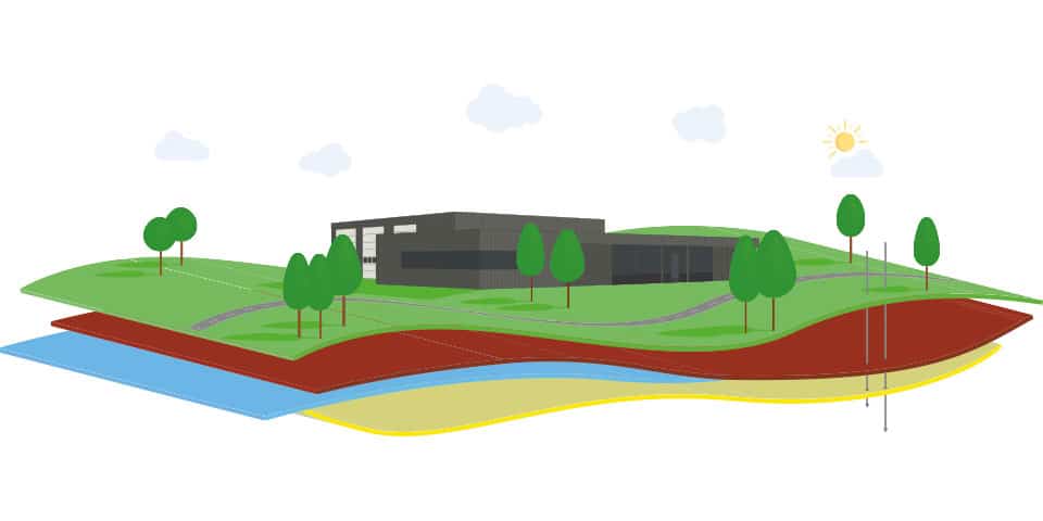
Since 2018, digital subsurface data has already been actively collected under the Subsurface Basic Registration Act. The clock is ticking, because all that data needs to be converted for projects into 3D subsurface models, in which the uncertainties in a 3D spatial computer model can be understood so that we can reduce them in a targeted way with further ground investigation and to reduce the chances of failure. Clients have an important role in this process by setting a maximum uncertainty for ground models in contracts before starting design and approving a final design.
"Now there is no measure. With 2 soundings you can also design a work of art, you keep an unknown risk and make it unnecessarily expensive by building in extra safety devices or expensive mitigation measures. We as taxpayers of BV Nederland are always the ones at fault. None of those involved in a project represent our interests while we finance everything, even when things go wrong."
So time to get hooked. Everyone can benefit. Knowledge institutions, government agencies (such as water boards) and commercial parties must take their roles now, because the BRO will be ready in 2022. In order to prevent unfair competition (with tax money) and stimulate developments, it is important to properly align the roles of all parties in a long-term vision.
The geotechnical world is changing considerably. As a result of the BRO, changes are occurring in our market. These will be:
These changes are both a threat and an opportunity. Time is running out to flesh them out. In the paragraphs below, we give you an initial impetus.
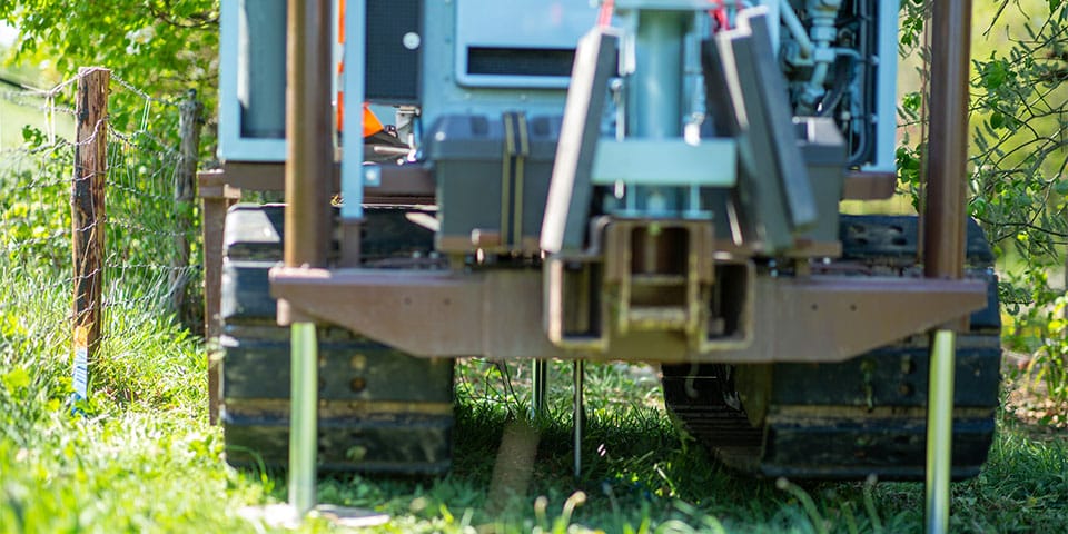
The subsurface is one of the bigger risks for infrastructure works, while less than 1% of the realization costs are usually spent on ground investigation. The Geo-Impuls program (2009-2014) has successfully contributed to the adoption of issues such as risk-driven soil investigation and the reduction of geotechnical failures in the GWW sector.
How to move forward? With the availability of more and more data in the BRO, changing standards, 3D designs, BIM, automated calculations and increasing knowledge, the need arises, building on CUR247, for a different perspective on future soil investigations.
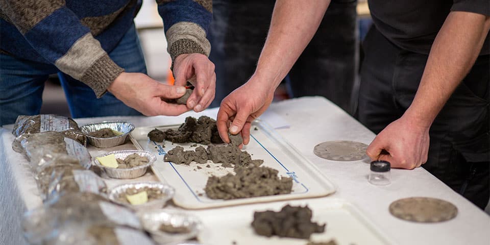
A land-cover subsurface model that assumes scenarios of stratigraphy with associated probabilities of occurrence and default parameter values is already available for levees and is expected to be expanded for the GWW sector. In order to refine it in a targeted way for project sites, it makes sense to work in a targeted way on a test set for geotechnical units after a desk study, in addition to more insight into the spatial distribution of these. A thorough investigation at selected pilot sites (high-quality soundings, borings with index tests and sufficient laboratory research for strength parameters and monitoring of groundwater pressures) already provides early insight into optimal geotechnical units, possible correlations and a link to available existing data. This is already being done for levee studies. For the other projects in the GWW sector, this is not yet being done.
The clock is ticking, because all that digital data needs to be converted for projects into 3D subsurface models in which the uncertainties in a 3D spatial computer model can be understood, so that we can specifically reduce them with further ground investigation. Clients can then set a maximum uncertainty within a ground model before starting the design. With fewer unnecessary safety features in designs, with fewer uncertainties about the subsurface, we can then produce cheaper designs and realize more construction plans.
In order to use new digital techniques such as artificial intelligence, automated calculation, BIM and 3D models to design geotechnical projects in a socially responsible way in the future and to cash in on the benefits of this for the Netherlands, databases such as the BRO and high-quality research are necessary. The vision of soil investigation for works with public funds, the data of which will be stored in the BRO and available to everyone, should reflect this. The current approach to land research now sometimes seems "penny wise, pound foolish" to the taxpayer.