Platform on civil engineering, underground infrastructure, energy, construction equipment & construction machinery
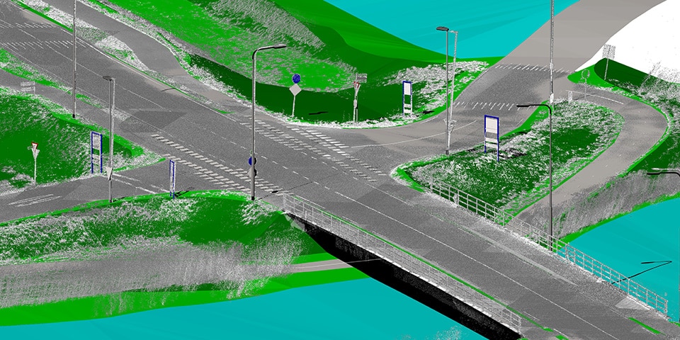
The Netherlands is increasingly captured in point clouds that are also made widely available. For many companies, however, it is abracadabra. To arrive at useful information, it is important that point clouds are converted to a 3D model. A labor-intensive process that is often outsourced to low-wage countries. GeoNext comes up with an affordable alternative from its own country and has developed software that converts these point clouds to a 3D model in a fully automated manner.
"The amount of point clouds being collected left and right is increasing noticeably, especially in recent years," notes Nico Schaefers of GeoNext. "The Actueel Hoogtebestand Nederland (AHN) creates point clouds, ProRail is busy measuring the railroad network with scanning equipment from helicopters, CycloMedia maps the road network, and so on. The problem, however, is that companies that want to use this data for their projects cannot basically do anything with these point clouds. It should preferably be translated into a 3D model. And that is what we have specialized in."
For example, GeoNext can generate complete 3D city models based on AHN point clouds. Schaefers: "This is done fully automatically. Recently we were able to assign a 3D object library of all infrastructural assets, such as traffic signs and lampposts, to the point cloud. This creates a complete 3D image and allows municipalities, governments or parties responsible for maintenance to use the digital twin principle. Thereby, the position and possible misalignment of assets is accurately visualized. The software even recognizes the difference in traffic signs; round, square, diamond, etc. Parties that do not yet have their own object library can be assisted in building one. We have developed a specific service for this purpose. We also organize training sessions at companies in-house to better assess and analyze the quality of point clouds."
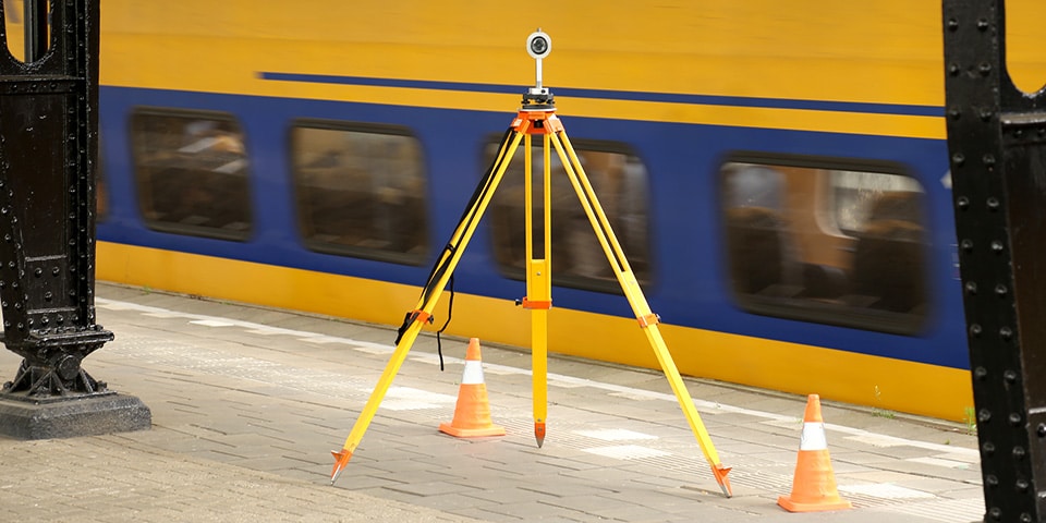
At work at the station
As an expert in unraveling point clouds, GeoNext is involved in a wide variety of projects. Over the next few years, the Hoevelaken interchange (A28 and A1) will be undergoing a major overhaul. "On behalf of the contractor, we created a digital terrain model (DTM) from mobile collected point clouds," says Schaefers. "Using the GeoScan software we developed, the lines, edge asphalt and guide rail were modeled automatically. We are also involved in the conversion of the Utrecht-Nieuwegein-IJsselstein regional express tram line (SUNIJ line) over a length of 20 kilometers. This is an integral tender in which we are taking care of all the zero measurements, the dimensions, et cetera. A fairly complex project with a short lead time given its size. Before the start of the Giro next year, the conversion must be ready."
In addition to automated modeling of point clouds, GeoNext is still active in surveying projects. "This is where our roots are and this is where we grew up in rail, now moving more and more towards road construction and civil engineering. With each project, we look for the best method. In Amsterdam, for example, 3D Video was used to measure a number of steel bridges. The equipment used came from the process industry. We were able to measure every detail down to the tenth millimeter. With this technique we even won the RailTech Innovation Award 2015, it turned out to be the starting shot for a successful expansion of our organization."
Louwers Mediagroep
Schatbeurderlaan 6
6002 ED Weert