Platform on civil engineering, underground infrastructure, energy, construction equipment & construction machinery
Taking pictures at high speed and accurately acquiring data, that is Mobile Mapping. This acquisition method offers a wealth of valuable information, where safety and completeness are hallmarks.
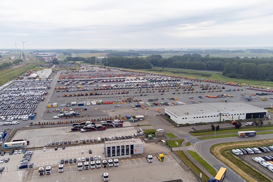
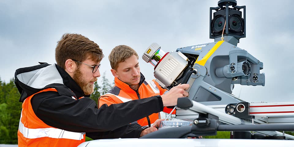
In large projects, it is often a challenge to accurately map an entire work area on a regular basis. With Mobile Mapping, photos and point clouds can be safely acquired (from preparation to as-built measurement). Because the scanner is mounted on a car, there is no need to close lanes or a site, employees do not have to measure along busy roads, and large amounts of data can be collected at once. We speak with Rob Bik, New Business Development Manager at Geometius, about one of the Mobile Mapping systems: The Trimble MX9.
"This scanner is ideally suited for large projects. The MX9 can capture large areas with millimeter accuracy at up to 110 kilometers per hour. The system features GNSS and a high-performance IMU (Applanix). In addition, the MX9 can be supplemented with a DMI (wheel sensor) and GAMS (heading system) for even better results. You have the choice of one or two scanners on the MX9. If you opt for two scanners, they are positioned so that objects in the direction of travel are scanned from both the front and rear. This saves considerable driving time. What is unique about this system is that it is a completely integrated system and there is a workflow where the components are perfectly matched 'ex-factory'. So you don't need extensive knowledge of IMUs, timing, lasers, GNSS or wheel sensors to achieve excellent results. At a time when measurement specialists are scarce and risk management is key, the MX9 enables the next step in surveying. Its simple operation, from a personal laptop or tablet, also allows a less experienced operator to acquire high-quality data quickly and safely."
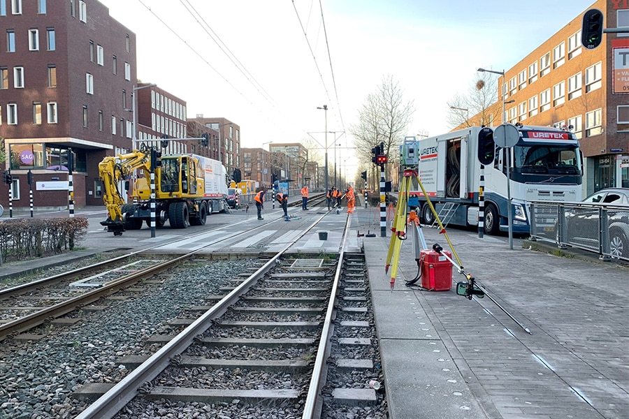
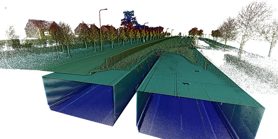
"During a demonstration, we scanned and imaged two tunnels in Roermond while driving," Rob continued. "The power of Mobile Mapping was immediately apparent. We were able to perform a complete measurement in a short period of time and without closing the tunnel.
During the measurement, photographs were taken and a point cloud was collected. The tunnel is 2048 meters long. Driving through the tunnel in one direction took less than two minutes (80km/hour). The data set per tunnel tube contains more than 200 million points. During the drive, more than 1,000 photos were also taken per camera, per tunnel tube. These numbers show how to collect large amounts of valuable data quickly, safely and easily. The data collected can be used for various purposes. You can think of road inspections and maintenance, but also for preparing a cost calculation for the construction of new infrastructure."
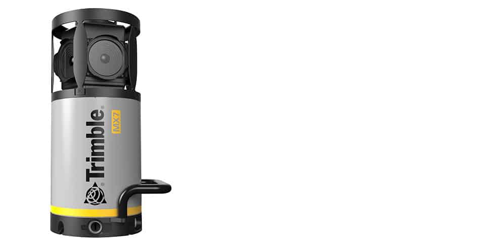
Mobile Mapping also shows its value in digitally capturing cities in a digital twin. Mapping a city simplifies various planning and management tasks. The data is often accessible to different departments and agencies and can be used for specific tasks, such as utility maintenance and road management. For digital surveying, the Trimble MX7 is ideally suited. The system is equipped with a high-quality 360° camera with integrated GNSS and IMU. Although the MX7 does not generate a point cloud, it is possible to measure in the photos and record assets accurately in a GIS system. This makes the MX7 a cost-effective investment.
Do you want to take the next step in surveying? Then contact Geometius for a no-obligation demonstration, purchase and rental of a mobile mapping system.
Louwers Mediagroep
Schatbeurderlaan 6
6002 ED Weert