Platform on civil engineering, underground infrastructure, energy, construction equipment & construction machinery

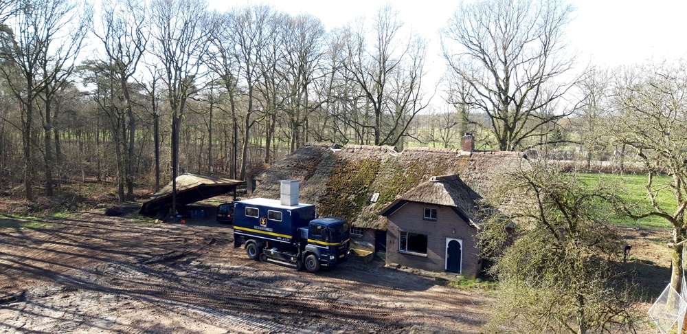
Now that the region is paying for half of it itself, it is finally going to happen. Van Dijk geo- and environmental engineering has already conducted geotechnical research and installed monitoring wells with data loggers to monitor the actual groundwater level 24/7 for one year. This will soon serve as the basis for the new road design.
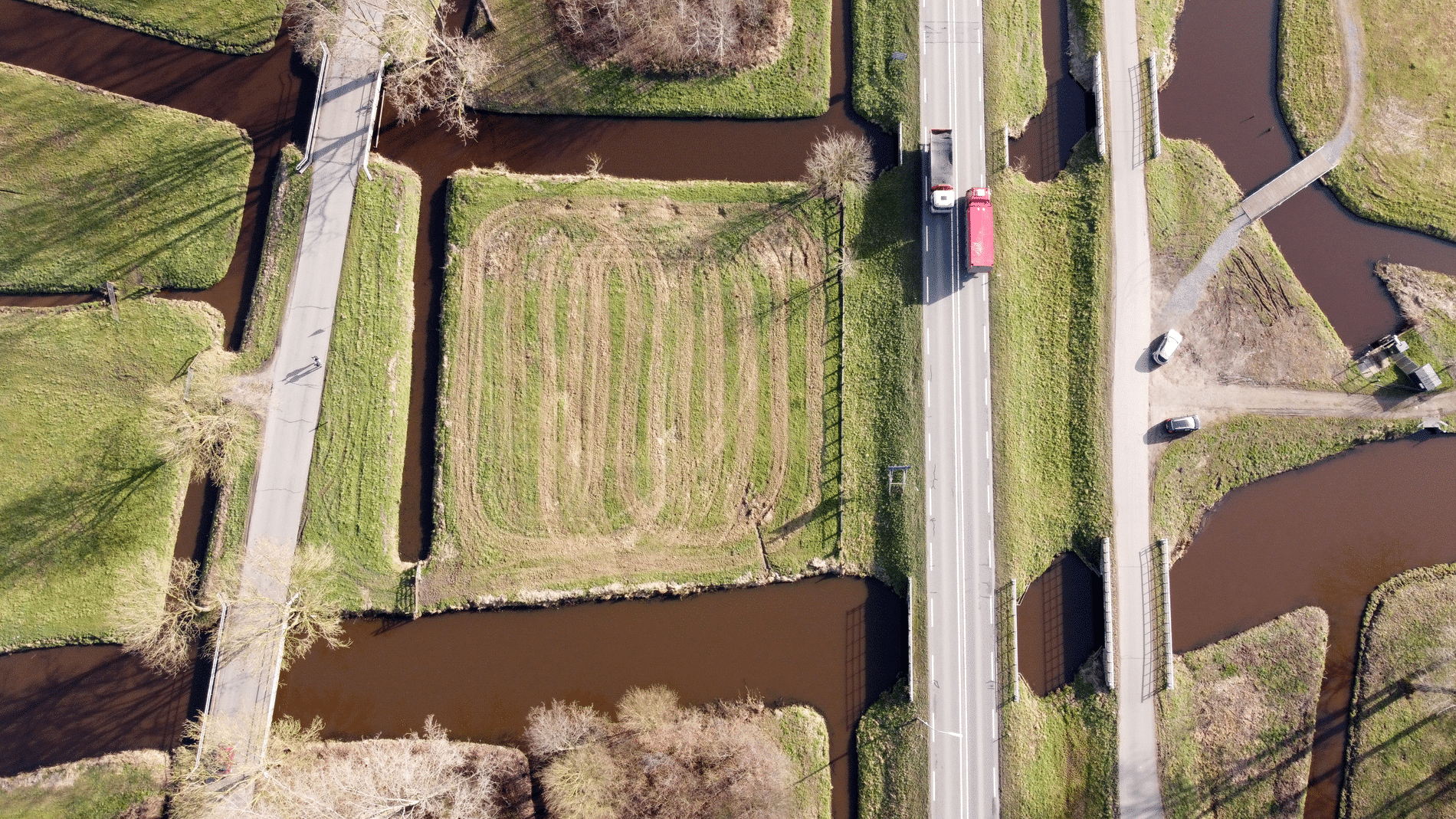
In the current situation, the Kampen - Kampen Zuid road section regularly experiences congestion during peak periods. The main cause of this is that there is one lane per direction of travel. In addition, there is no physical lane separation which increases the risk of head-on accidents. With increasing business activity in and around Kampen, congestion on the road will increase in the coming years. Reason to widen the road to a freeway with 2×2 lanes. The road will have a physical lane separation and a maximum speed limit of 100 km/h between the Kampen and Kampen Zuid junctions.
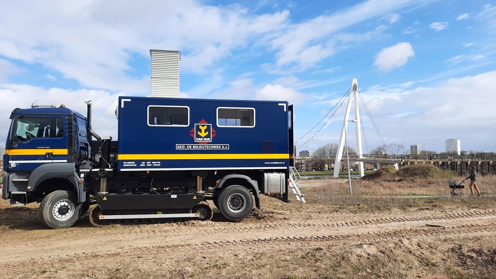
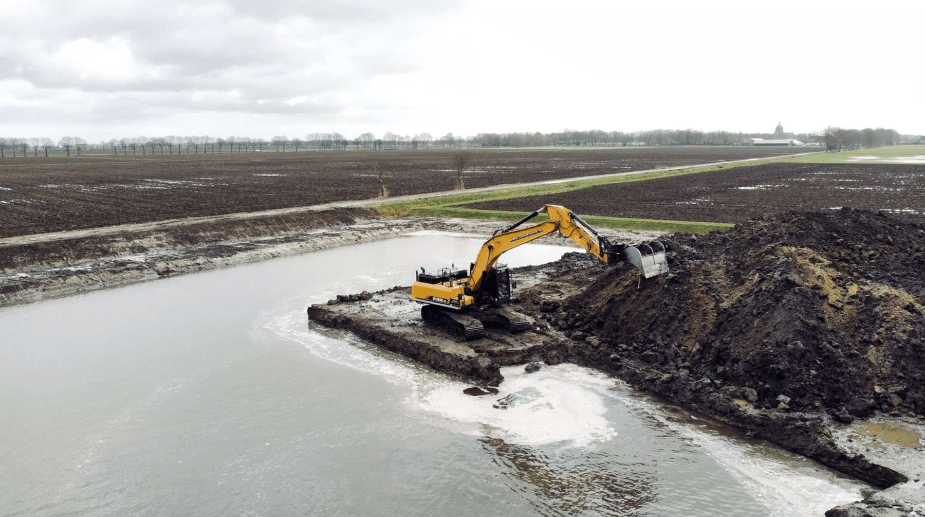
Although implementation is still some time away, with the widening of the N50 planned for 2023, the necessary preparations have already been made, including by Van Dijk geo- and environmental engineering. They carried out geotechnical investigations in the mid-2020s, including probing, examining the tar content of the existing asphalt (for possible reuse) and installing monitoring wells. The great thing is that Van Dijk combines practically all disciplines under one roof in the field of geotechnical and environmental engineering. This means only one point of contact for clients. Performing the required work on this project safely required the necessary preparation. Especially since Van Dijk's employees were sometimes working right next to the road, which requires traffic measures. Getting all that done in terms of permits takes a lot of time. That is why the permit for mowing the verges and washing the hectometer paving in the evening and night between 9 p.m. and 3:30 a.m. was used for some of the work.
Van Dijk geo- and environmental engineering eventually managed to plan and coordinate all work within 10 meters of the roadway in such a way that it could be carried out in two nights. It was a busy time, though. Surveyors, CPT vehicles, drilling trucks to perform asphalt drilling, but also to install the monitoring wells, and so on. And all this had to be gone before 3:30 a.m. to leave the road spic and span again. The monitoring wells with data loggers are located at eight locations over a length of several kilometers. The goal is to obtain as much information as possible about the phreatic groundwater level and the stress water in deeper confined sand layers during a year in connection with the future road design. Every minute the current level is measured and stored on a server. Van Dijk draws up a fortnightly report and sends it to the client.