Platform on civil engineering, underground infrastructure, energy, construction equipment & construction machinery

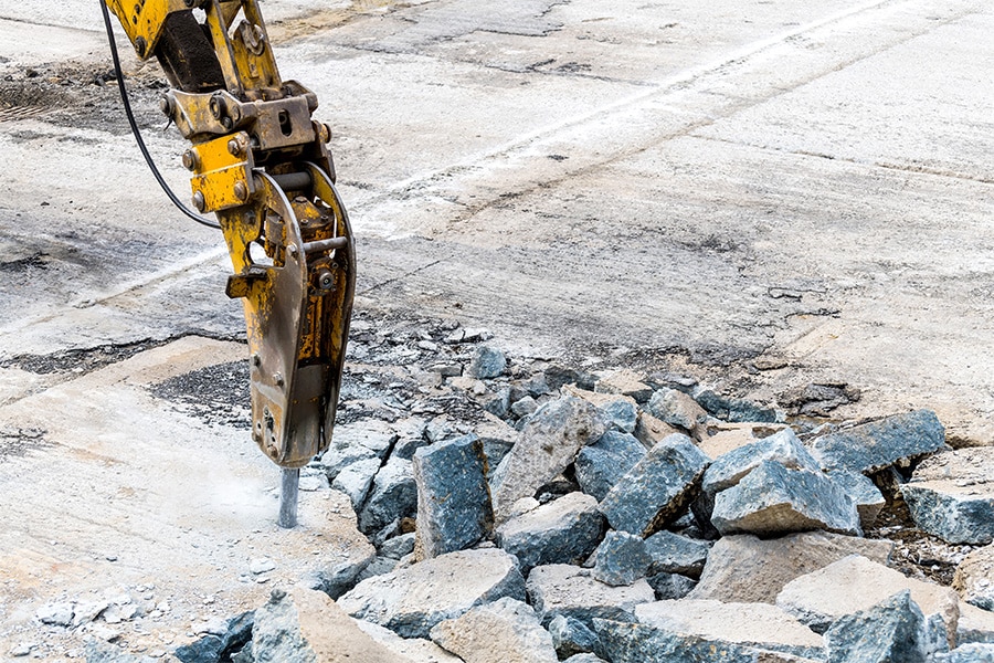
Early detection of potential road surface damage? A pipe dream? No. The Road Scanners allow road managers or contractors to take a look inside the road using ground radar equipment and gamma spectrometers. Information about the condition of both the road and the subsurface is generated without the need for road maintenance. Information about layer thickness, possible subsidence and waterways that have been closed in the past to even the type of stone of the surface layer is carefully uncovered.
Road Scanners specializes in non-destructive testing of roads. "Our methodology is unique and is a welcome addition to existing methodologies, such as visual inspections, drilling surveys and performing falling weight deflection measurements," begins Wilco Bouwmeester of the Road Scanners. "Inspecting with radar equipment is actually the connecting link between the existing methodologies. The demand for this form of inspection is therefore growing."
"With our equipment, we provide insight into the condition of the road," Bouwmeester continued. "For damages, for example, we can find out what caused them. We can also provide insight into damages that are not yet visible on the surface or assess the status of the layers under the coating. We work at project level but also at network level. For several municipalities, we periodically map the status of all major roads. This gives municipalities a good picture of the condition of the road network and provides early insight into potential risks."

Scanning the road is one thing, translating it into usable information is two and should not be underestimated, according to Bouwmeester. "We make our data accessible to everyone and strive to deliver the data adaptively as much as possible so that all our clients can actually use it in their own systems. Our data therefore has multiple uses in GIS or CAD systems, for example. We are also working hard to be able to integrate asphalt and foundation thickness information into a BIM model as well."
"We are working on a methodology for overlay recognition (type of overlay and crushed stone recognition), ideal for estimating service life but also for possible reuse in reconstructions."
Other developments of the Roads Scanners include mapping moisture zones in the road surface, which is a breeding ground for potential damages, generating information on the (pile) foundation and structure of old quay walls, bridges and research on water storage systems under pavement. "We are also engaged in preparing soil risk maps for civil and built-up structures. Desiccation leads to potential damage to roads. We are also able to map that better and better."
Louwers Mediagroep
Schatbeurderlaan 6
6002 ED Weert