Platform on civil engineering, underground infrastructure, energy, construction equipment & construction machinery
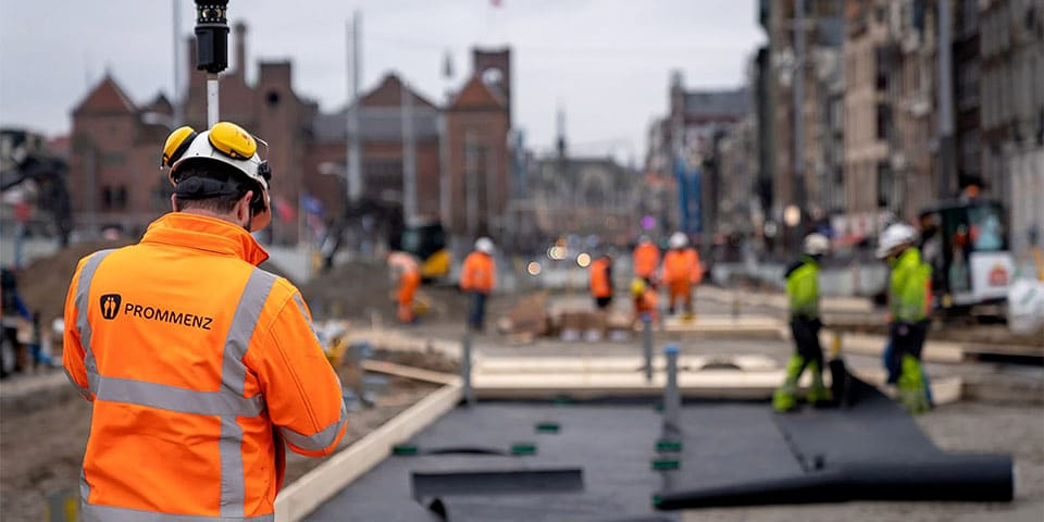
The above statement comes from Ferry van Lieshout. He is referring to the way of working at Prommenz. Ferry has known the management of Prommenz for more than 15 years and last year he joined the company L2 started. From his expertise in digital measurement, he supports Prommenz in performing 3D measurements, both surveying and construction. "This is done from surveying project management," Ferry opens the conversation.
"Within Prommenz there is 3D thinking. This is possible because there is a team of young people. Actually, it is strange that a lot of data is collected in 3D, only to be 'flattened' into 2D in specifications. Then a contractor has this 2D data converted back to 3D models. Besides all the time and money this costs, this comes at the expense of data and thus reliability. This is why at Prommenz we generate data in 3D, using laser scanning and drone photography to deliver the data as a 3D model in the specifications."
Ferry continues his story, "The 3D data that we supply about terrain and construction can be used by the contractor in 3D machine control this way. There is no more data loss and because we also perform revision measurements in 3D, we can superimpose the revision data over the model for verification. This significantly reduces the chance of failure costs." With this working method, Prommenz also supports the processing of changes passed on by the contractor. "With this, we facilitate demonstrability," Ferry explains.
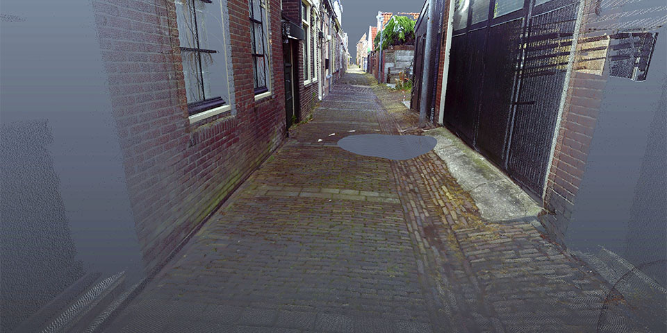
Pointcloud of the Baandervesting. (Image: Prommenz)
How does 3D measurement work? "When we measure on land, we use 3D laser scanners, which we use to generate pointclouds. A pointcloud is a collection of measured points, which together create the 3D model, based on the exact coordinates at which the points were measured. If we measure from the air, we use drones with 3D cameras to do so. However, our laser equipment can also take pictures, which we can display together with the pointcloud. That doesn't add much geometrically, but it does make visualizing things a lot easier and more attractive."
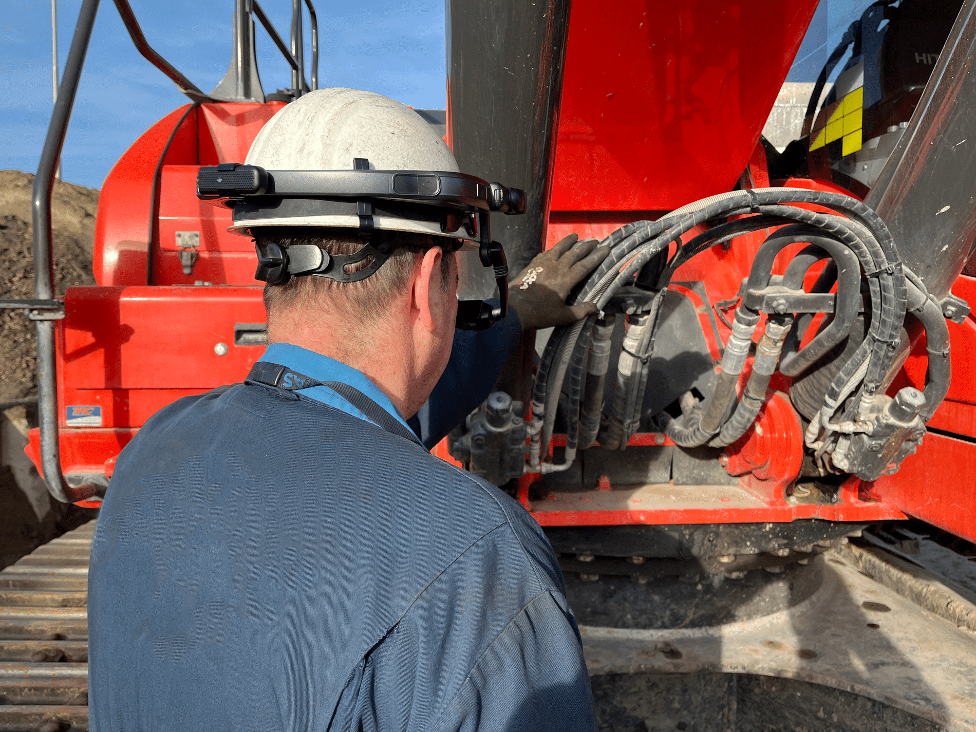
The advantage of storing measured data as a point cloud is that all the information is available to you at all times. "Even when you wouldn't need it right away. You can always fall back on the completeness of the pointcloud in case of questions afterwards. We see that, for example, when data centers are being built, people like to map the subsurface in this way. Later it is then possible to find out exactly where something lies," Ferry says. The data can be used in a very diverse way. "Think for example of end use in Augmented Reality or in the cab of an excavator. Good data combined with accurate GPS brings down failure costs."
A nice project where 3D scanning is perfectly in place is in Enkhuizen.
Ferry: "We are working together with Schadenberg from Hem and the municipality of Enkhuizen in a construction team responsible for renewing sewers in a monumental street. Prommenz's job is to use 3D scans to record the laying pattern of the clinkers used there. By applying our data, the contractor can easily replace the bricks in the correct pattern when paving is required. This ensures the preservation of the monumental character."
In conclusion, Ferry says, "At Prommenz, we use state-of-the-art technology because we believe in adding value for the customer. The strength lies in the combination of applying old and new techniques."