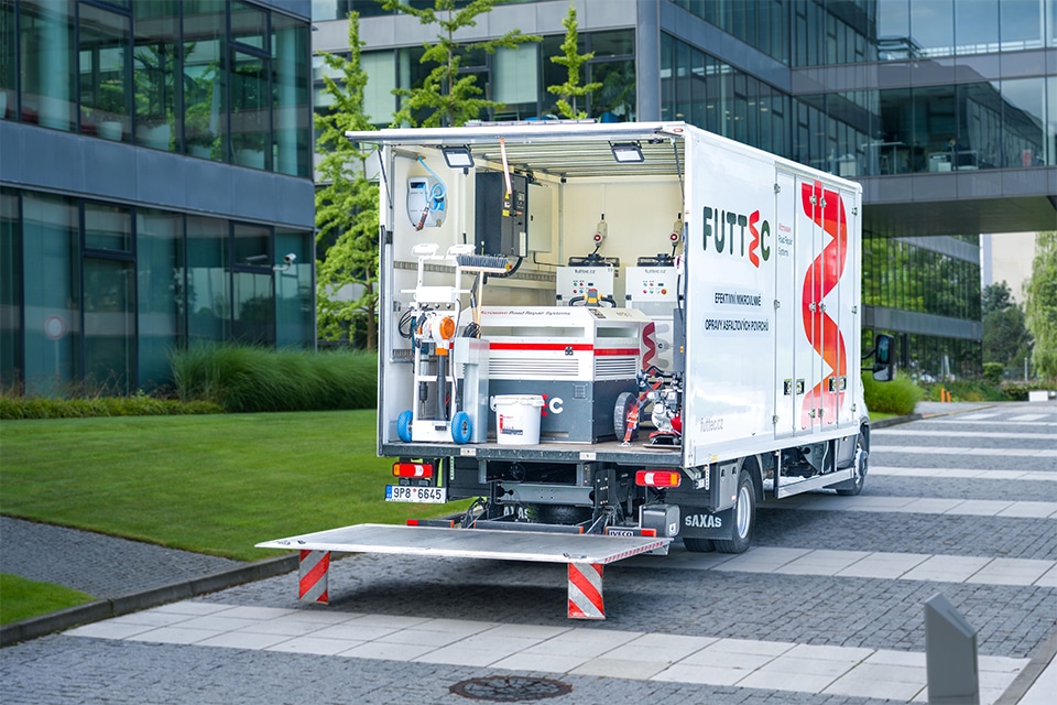
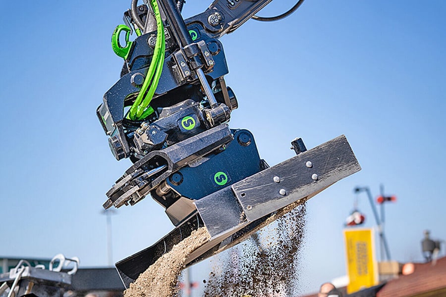
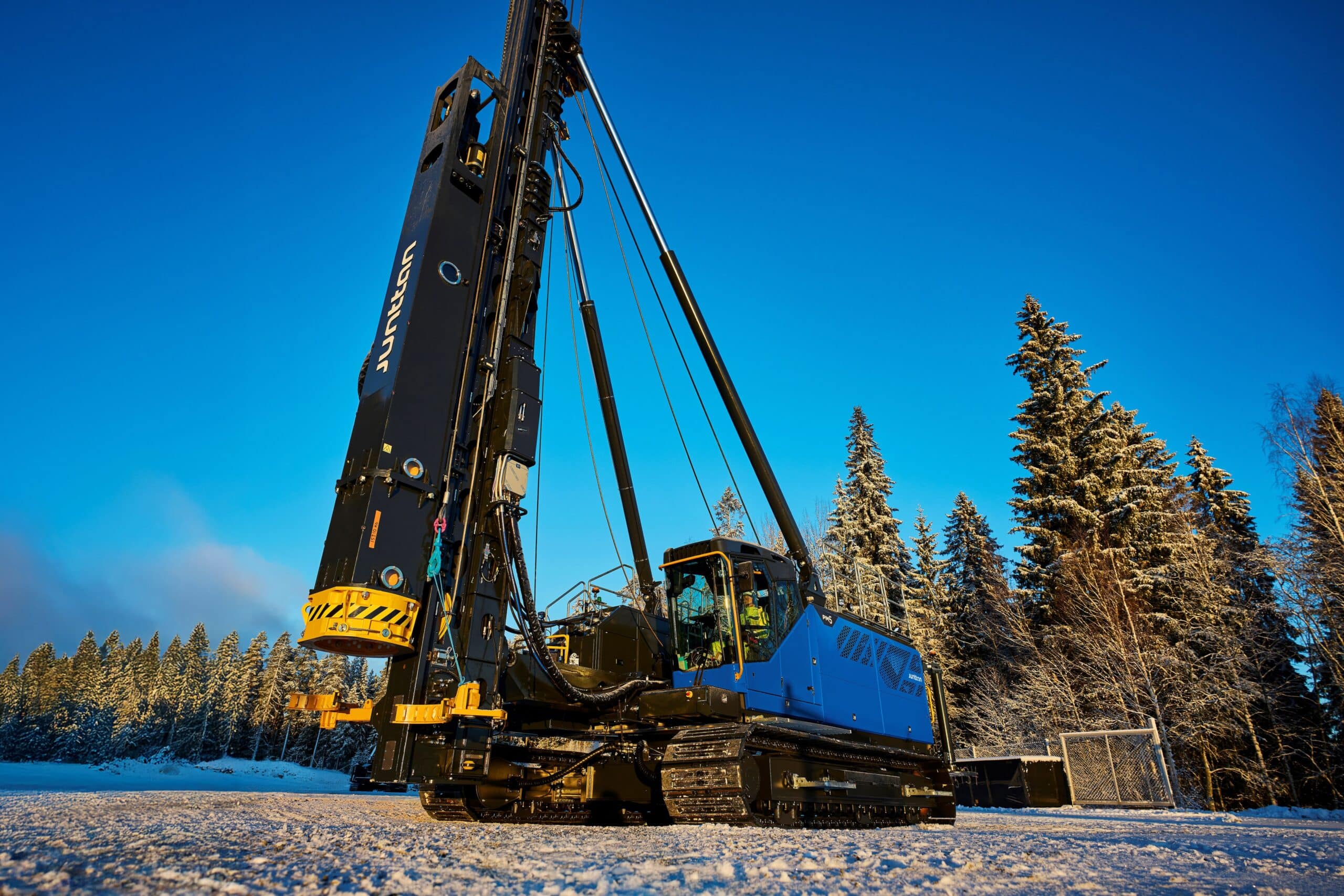
Platform on civil engineering, underground infrastructure, energy, construction equipment & construction machinery
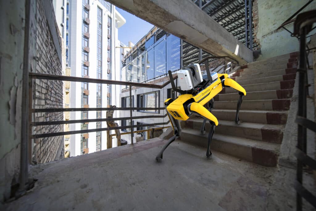
Leica Geosystems, part of Hexagon and a leader in 3D scanning technology, has developed a mobile reality capture solution. Mounting the Leica RTC360 3D laser scanner on a Boston Dynamics Spot robot creates a flexible solution that can reduce the use of human operators. The robot can be programmed to repeat automated scan paths. This requires minimal operator supervision, improving efficiency, productivity and flexibility in performing reality capture tasks. The technology can be applied in various environments such as construction, industry, for facilities management, public safety, defense, media and entertainment or other sectors for which autonomous scanning is a solution. Especially for objects that need to be scanned repeatedly to, for example, keep digital twins up-to-date or monitor the object over a longer period of time, the new capture solution is very useful.
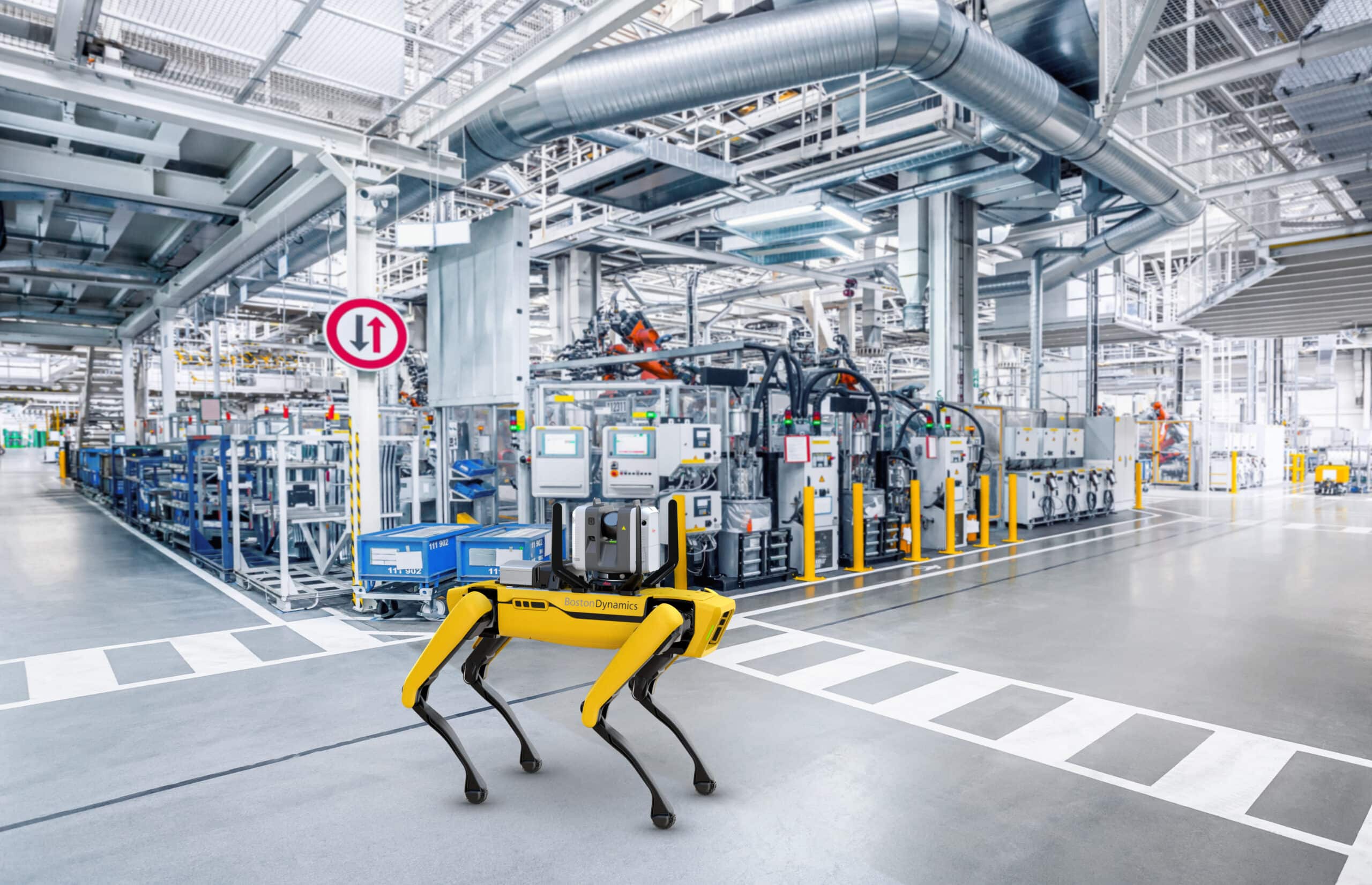
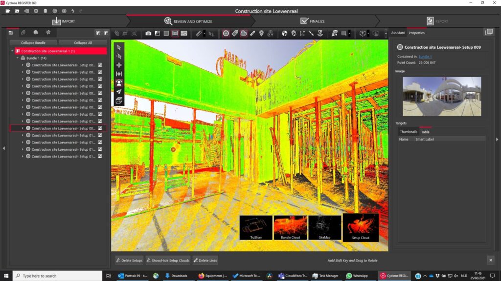
When accurate, reliable and up-to-date 3D data is needed, the combination of Leica Geosystems' RTC360 technology and Boston Dynamics' mobile Spot robot offers significant added value for users. This applies to a wide variety of industries and scanning scenarios where dynamic and smart laser scanning workflows are required. The additional customer value is created by the Spot robot's ability to work in many types of locations and the RTC360's Visual Inertial System (VIS). In addition to the Leica RTC360 mounted on the back of the Spot robot, VIS technology uses five cameras to track the location of the scanner. The VIS system provides a very high level of accurate and automated pre-registration to streamline the capture of the environment. Scanning requires the user to activate the scan remotely via a mobile device, while the Spot robot and the RTC360 automatically navigate the programmed scan path.
The RTC360's VIS technology creates an easier and faster scanning workflow. For example, users can navigate the Spot robot across a site by using a mobile device to control the RTC360 scanner. This allows them to speed up routine documentation tasks and capture data accurately, quickly and with high frequency. The technology also automatically combines the captured scan data from each station because the device knows its location in space. This results in a complete, pre-recorded point cloud of the scanned location, which makes final data processing in the office much easier.
"Making the RTC360 and VIS technology available for the Spot robot is a major step forward for Leica Geosystems to provide autonomous reality capture solutions," said Thomas Harring, CEO of Leica Geosystems. "Customers benefit from the user-friendly combination of the two devices. Our relationship with leading technology experts allows us to accelerate the development of such technologies while responding to the growing need for automation of construction processes and the demand for high accuracy 3D scanning."
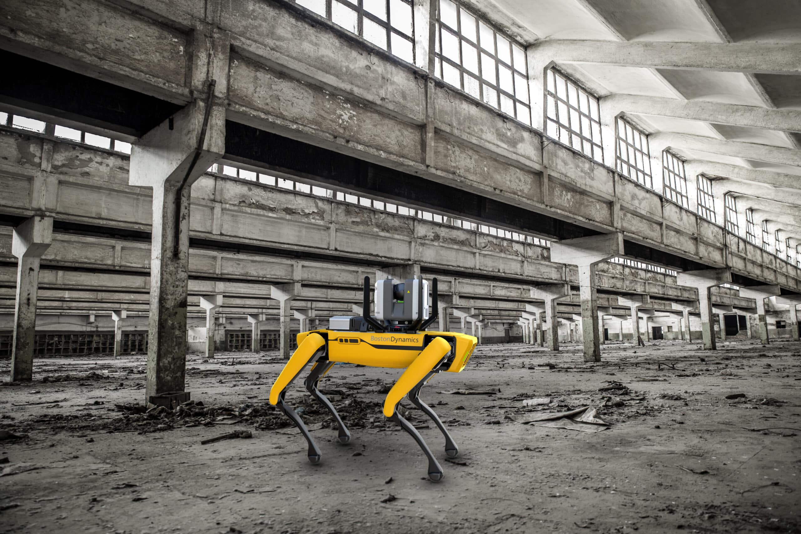
Combining Boston Dynamics' Spot robot with the RTC360 creates a mobile scanning solution that saves time as the Spot robot moves the scanner and sets up the scanner at individual scan locations. Once Spot and the RTC360 learn a programmed scanning route across the field, they can easily and quickly repeat that route for standard scans. Because the Leica RTC360 can be operated with a mobile device, the Spot robot is able to use its agility and mobility to scan surfaces that are difficult to reach or even dangerous to a human operator.
The new Leica RTC360 for Spot includes all the necessary installation accessories, a protection bar for the scanner cameras as well as Leica Geosystems software that gets users up and running in minutes. The RTC360 installation kit for Spot is available through Leica Geosystems distribution channels and the Spot robot is available from Boston Dynamics.