Expert in GIS and cartography
Red Geographics helps companies optimize the way they handle geographic, space-based data. The expert in GIS and mapping maintains its own philosophy and operates on almost every continent.
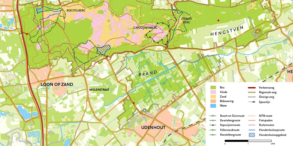
Fifteen years ago, Hans van der Maarel started Red Geographics, more or less out of dissatisfaction with his previous employer. "We provide support, consulting, software and training in the areas of Geographic Information Systems (GIS), geographic informatics, Spatial ETL, 3D visualization and digital cartography. The common thread throughout our services is to put customers in a good mood by providing them with the right tools (software products) or giving them a nice 'map'." For example, Red Geographics realized maps for National Geographic's new Atlas, but also for Buienradar, for example.
Training and consulting
Red Geographics is a dealer of FME, MAPublisher and Avenza Maps. "The focus is on the Benelux, but we have customers all over the world," Van der Maarel says proudly. "Actually, we are active on all continents in one way or another, except Antarctica. We advise them on the use of these products, provide training and can set up complete work processes if required.
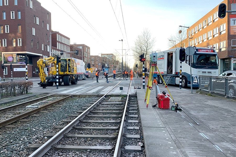
In doing so, we work extensively on behalf of national and local governments, the Land Registry and, of course, for construction and infrastructure contractors. With FME, we help clients better understand their data. It is a platform for integrating and transforming (geographic) data. In practice, we use it for everything from our own mileage registration to preparing Rijkswaterstaat data on buoys and lights along the water for a set of water maps for the ANWB. For example, with FME we supported Heijmans in building a process to be able to do DTB and KernGIS deliveries to Rijkswaterstaat from their own measurement data."


