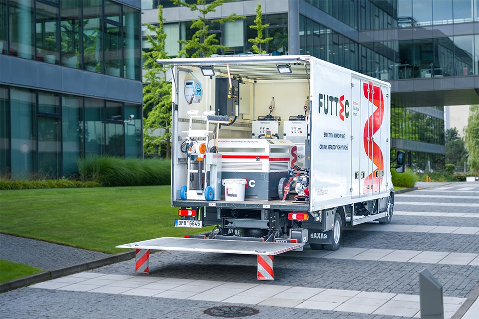
Platform on civil engineering, underground infrastructure, energy, construction equipment & construction machinery
Any company that works on behalf of RWS cannot escape their strict requirements that data must meet. Kragten has been involved in RWS projects for over twenty years and knows better than anyone else what those requirements are. That makes Kragten pre-eminently the partner to ensure that a project runs smoothly and is completed.
A look at Kragten's website shows that the company is at home in many markets. Projects range from the design of Safaripark Beekse Bergen and the first C2C traffic circle in the Netherlands to subsidence in The Hague and shapefiles for the GIS database Garantiebank. "We do indeed do a lot," agrees Peter van de Ven, senior consultant Geo-information. "I myself am part of the Geo-information department. We deal with the acquisition of data, make workable analyses of it and present it to the client in various forms of presentation. The latter in particular is becoming increasingly important. Does the client want the data visible as an editable drawing, pdf or in an online environment? We develop viewers, online environments, in which the client can see in real time what the state of affairs is but also how the final product will be."
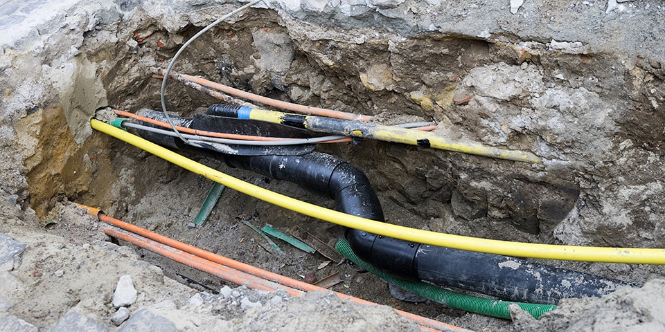
Underground is often a tangle of cables and pipes.
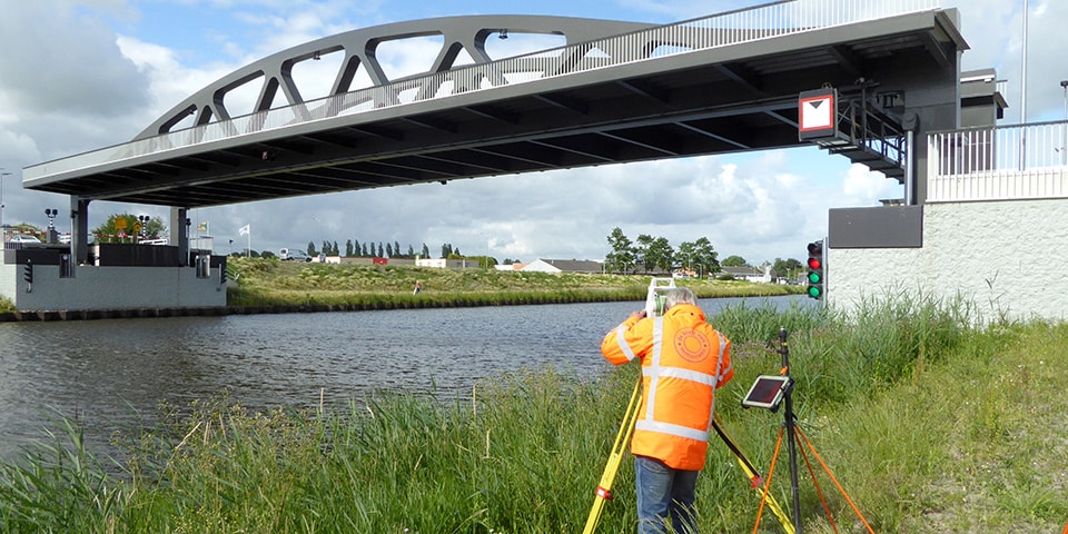
Kragten is involved in numerous surveying projects for a variety of clients. Such as measuring and reporting the (clearance) heights of all bridges and viaducts of RWS. She also performs deformation measurements to determine the structural condition of a bridge. Tom Wesselink, Department Head of GeoData Management, explains how. "For measurements, we work with aircraft, drones and surveyors. In this example, surveyors with state-of-the-art equipment perform the measurements because it has to be accurate to the millimeter. We then convert the data into readable drawings and reports."
Kragten also puts its expertise to use in 3D rendering of places where digging is taking place. "Underground is often a tangle of cables and pipes. A trench that is dug often has to be closed again quickly to limit traffic disturbance. It is very handy to have a 3D model of that trench. Using a video recording made with a smartphone, we can convert the images to 3D. That makes it very clear what is under the ground."