Platform on civil engineering, underground infrastructure, energy, construction equipment & construction machinery
GIS makes it possible to simplify and speed up processes in the GWW sector. This means that for many situations you no longer even need to use a surveyor. Because the software and technology are now so accessible that even non-surveyors can measure accurately. That saves time, costs, CO2 emissions, and so on. These are the words of Hans Hainje, Innovation Manager at MUG Ingenieursbureau, part of Royal Sjouke Dijkstra.
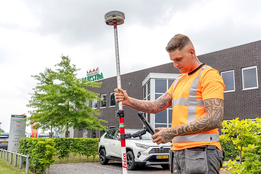
We see in practice that infrastructure contractors use a surveyor for the slightest thing, says Hans. "With the current state of the art, this can be done much more efficiently. You can perfectly have the information gathering done by your own people outside, who are present on the project anyway. For example, in the past a GPS stick had to be perfectly level for at least 3 seconds, nowadays the signal is already picked up if the GPS stick is skewed. In addition, Esri Netherlands' software is so friendly and configurable that you can automate processes very easily."
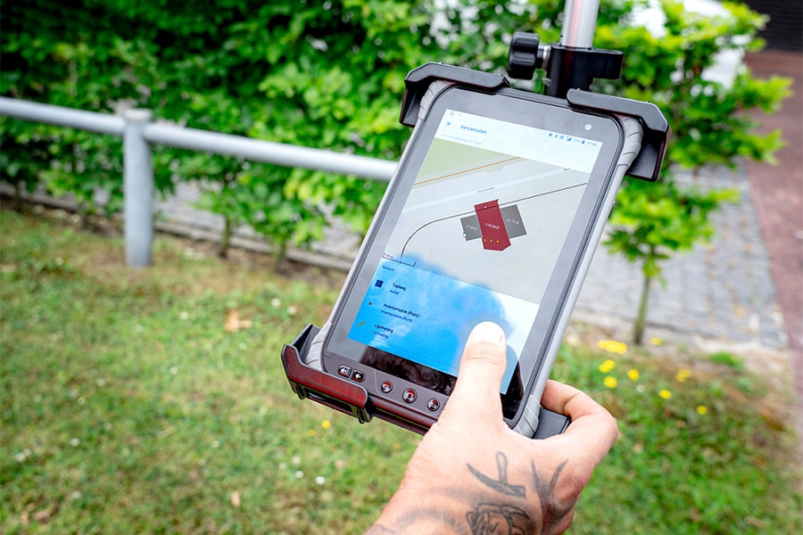
Esri is the supplier of ArcGIS in the Netherlands. "We originally provide location technology to create interactive maps," says Jeffrey van Tol, business developer at Esri Netherlands. "Since the digital revolution, ArcGIS has grown into a total platform with apps that support different processes. So with ArcGIS you can easily acquire, process, combine, analyze and visualize location data. This data can be shared with colleagues and partners via the Web. There are also many useful open data sources of the environment available in our Living Atlas." Hans adds: "You can not only measure very easily, but also set up entire workflows using smart apps that you link to the GPS stick. Asphalt that is being renewed or a pipeline that is being laid can thus be measured very quickly. In the software, you click on a few drop-down lists and enter the workflow. The person in question has all the data at hand from KLIC, the BGT, etc. directly on his tablet in the Field Maps app and can confirm that it has indeed been made as conceived."
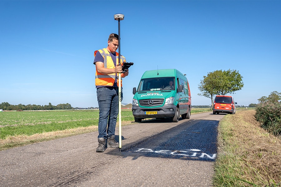
So within ArcGIS, a lot of information is available by default. "Also all the information from the Esri Living Atlas can be used directly in the Field Maps app, such as information about plot boundaries, ground level elevation, and aerial photos of the surrounding area," Jeffrey explains. "You can use that whole set of data by default when you purchase ArcGIS." It's a silent help for implementation, according to Hans. "It's a matter of clicking on the right data in the Living Atlas that are useful for that process: energy, fiber optics, ecology. On the maps of the Living Atlas you can also very accurately mark the location, where, for example, the asphalt is not good or where you have laid cables & pipes. That also makes it visual for the client." According to Hans, the hardware needed has also become much more accessible. "We use the GPS sticks from Carlson. They also provide software to use the GPS signal from the survey stick in ArcGIS Fieldmaps. This software is usable with GPS sticks from different hardware vendors."
MUG Ingenieursbureau initially focused on sewer, asphalt and concrete measurements with ArcGIS, but now the archaeology and energy departments have also embraced Esri's ArcGIS total solution. "The platform offers enormous potential, also for the energy transition we face in the next 15 years," Hans believes. "This application simplifies the whole process. After all, everything has to do with spatial integration. GIS is ideal for that, from the preparation and digging of trial trenches to recording during execution. GIS is extremely valuable if you integrate it efficiently into the daily workflow."
Neem dan rechtstreeks contact op met Esri Netherlands.
 Contact opnemen
Who we are A map connects people, wherever they are. Thanks to the insight that maps and geographic analysis provide, it is possible to make a difference. More than 350,000 organizations worldwide work with Esri's innovative technology every day. Forward-thinking organizations are solving business problems with Location Intelligence and uncovering new opportunities. In the Netherlands [...]
Bekijk Bedrijfsprofiel