Platform on civil engineering, underground infrastructure, energy, construction equipment & construction machinery

At the start of a new project, a proper setup of the digital project environment is essential. This is often laid down in an implementation plan. So too at construction group VolkerWessels. "We no longer do a project without GIS. It strengthens cooperation and promotes efficiency," says Jan-Peter Ter Maaten, Service and Product Owner GIS at VolkerWessels Infra Digital.
VolkerWessels Infra Digital is an internal ICT service provider for operating companies of VolkerWessels. By providing reliable, sustainable and efficient ICT solutions, these operating companies can focus on their primary processes: the execution and construction of infrastructure, housing and utility construction projects in the Netherlands. Infra Digital is one of VolkerWessels' total of 130 companies. All in all, VolkerWessels carries out some 25,000 projects across the group on an annual basis.
"Looking at all those projects, the different clients and all the data, it is obvious that as a construction company you look for integrated solutions and systems. That is, with a view to greater efficiency," says Jan-Peter. "For example, we saw that project staff often collected loose information together, implemented that in their own environment and then did not communicate this with colleagues. As a result, different sources were being used and there was often duplication of effort. That is why a few years ago we started an overall digitalization program NEXT to further develop digitalization within our group and to channel data flows literally and figuratively in the right direction. We wanted and want to move toward a more data-driven focus, with developments such as BIM, GIS and Digital Twin becoming increasingly integrated commonplace. Thanks to integration of BIM and GIS, we keep the data at the source and establish links where necessary."
One of the pillars of the digitization program was and is the establishment of the so-called GIS counter. Jan-Peter: "This counter provides all our projects with standardized map layers and GIS applications. In this way we have one central location where all the necessary geo-information for projects, such as land registry data, cables and pipes, is together. Handy, because when you start building, you want to know exactly where you stand. Thanks to GIS, a large area becomes transparent. Indispensable, of course, in our infrastructure projects. Thanks to updates, the data available via the GIS desk is always up to date and available to those involved via a secure login environment. That way, no one is faced with surprises or duplication of effort. All in all, we have taken important steps in the area of digitization and integration of ArcGis. In that and with that we have also made progress and successes. But of course it is a continuous process where you keep responding to current developments and innovations."
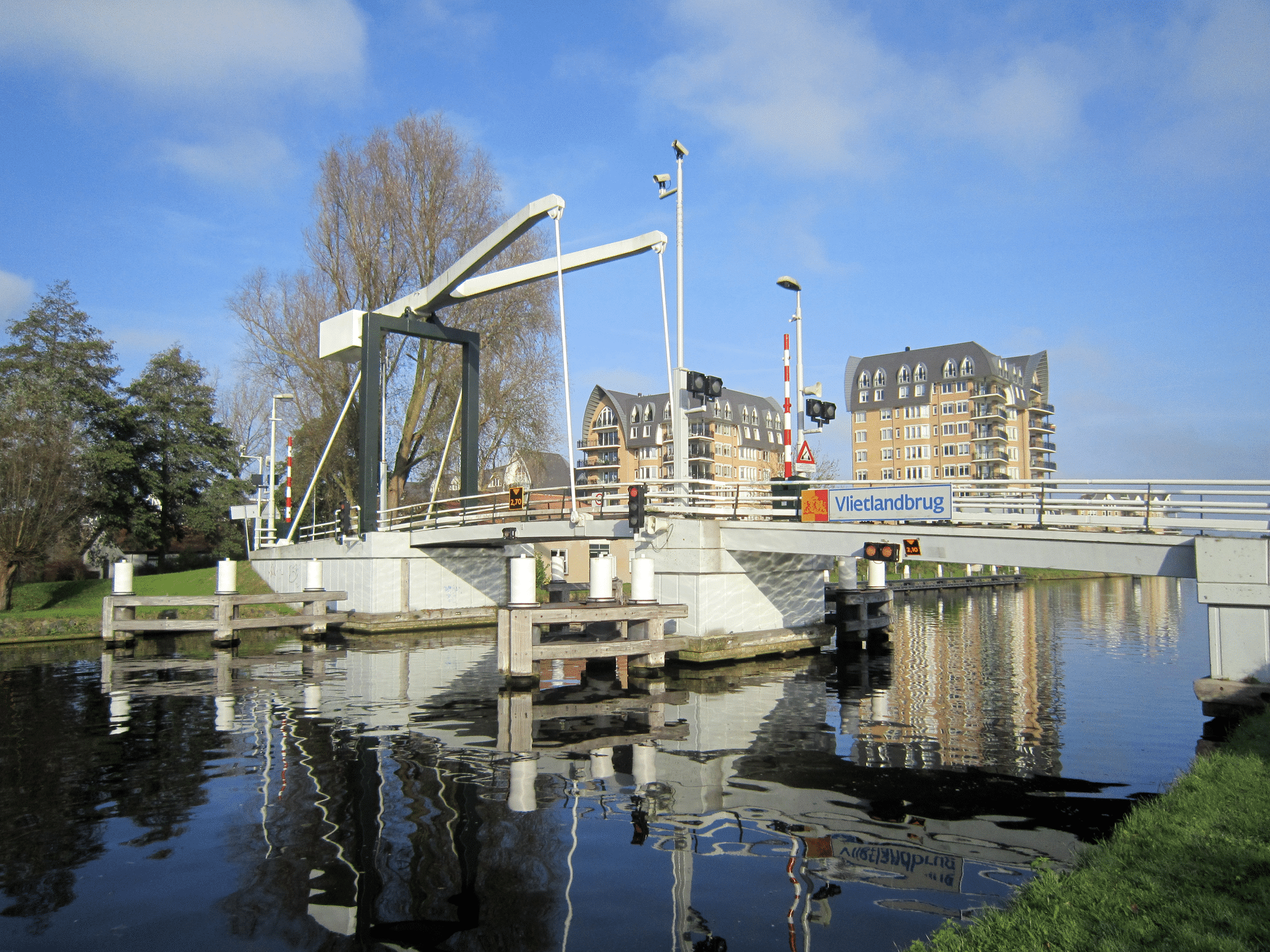
The examples of VolkerWessels infrastructure projects where the importance of GIS and data sharing are highlighted are legion. "I will mention a few anyway," says Jan-Peter. "On behalf of the municipality of Amsterdam, we have been working on the installation of waste collection systems since April 2021. That means placement and replacement of more than 7,500 underground waste containers in all Amsterdam districts. Quite a job, for which not only we, but also our subcontractors want geo-information for the groundwork to be done. To this end, a GIS asset check is available. Another project is the innovative inspection of concrete pavements at aircraft stands (VOPs) at Schiphol Airport. Thanks to deep learning technology, camera images of the VOPs are translated into usable data in order to check their availability and compliance with the set standard. Another project: commissioned by the municipality of Amersfoort, our operating company KWS worked on the redesign and asphalting of the Bisschopsweg. Here, the so-called asphalt rolling information system (AWIS) enables the operator to monitor the number of rolling passes and the surface to be rolled in real time. Simultaneously, he can monitor the operations of his colleagues. The recorded data can be analyzed by KWS afterwards."
So, according to Jan-Peter, projects are all about collaboration and insight. "A couple of GIS tips: don't do this for your colleagues, but with your colleagues. By standardizing data, no valuable information is lost and you limit administration. Work ad hoc, but in a controlled way. Provide implementation and maintenance. Keep focus! Share not only data, but also your successes. For example, we ourselves held a GIS user day. A fun way for organizations to evaluate, share knowledge and learn from each other. And speaking of GIS successes: a confirmation that we went down the right digital "geo-road" a few years ago was winning the Enterprise GIS Award 2020 for the wide use of geographic information within our organization. A great crowning achievement for us. Which shows that by giving digitization within the infrastructure market a main stage, we can work together with our clients, partners and colleagues to increase quality and reduce costs."
Neem dan rechtstreeks contact op met Esri Netherlands.
 Contact opnemen
Who we are A map connects people, wherever they are. Thanks to the insight that maps and geographic analysis provide, it is possible to make a difference. More than 350,000 organizations worldwide work with Esri's innovative technology every day. Forward-thinking organizations are solving business problems with Location Intelligence and uncovering new opportunities. In the Netherlands [...]
Bekijk Bedrijfsprofiel