Platform on civil engineering, underground infrastructure, energy, construction equipment & construction machinery

In a dike reinforcement project, insight into soil conditions is of course crucial. Not surprisingly, Geo-data specialist Fugro has been a partner of the Dike Zone Alliance for many years. Given the specific situation and unique solution at the Steyl-Maashoek dike reinforcement, the contribution of the specialist in soil investigation and geotechnical design is above average and also incredibly diverse.
"The Dike Zone Alliance - a construction consortium of Ploegam, Hollandia Infra and Dura Vermeer in cooperation with Vlotterkering BV - has been using our expertise for many years. Together we have already completed several dike reinforcement projects throughout the Netherlands," begins Arend Pool, Senior Advisor for Hydraulic Engineering at Fugro. "The project in Steyl-Maashoek is surely a special one in that list. After all, the Dike Zone Alliance has developed the innovative self-closing Float Barrier®, which has been applied on this scale for the first time." Consequently, Fugro has been involved in the project since the tender. "For example, in the tender we supported the Dijkzone Alliance with advice on geotechnical matters, on stability and bank protection, among other things. And from our expertise with water retaining objects, we also advised on the most robust design of the valve structure."


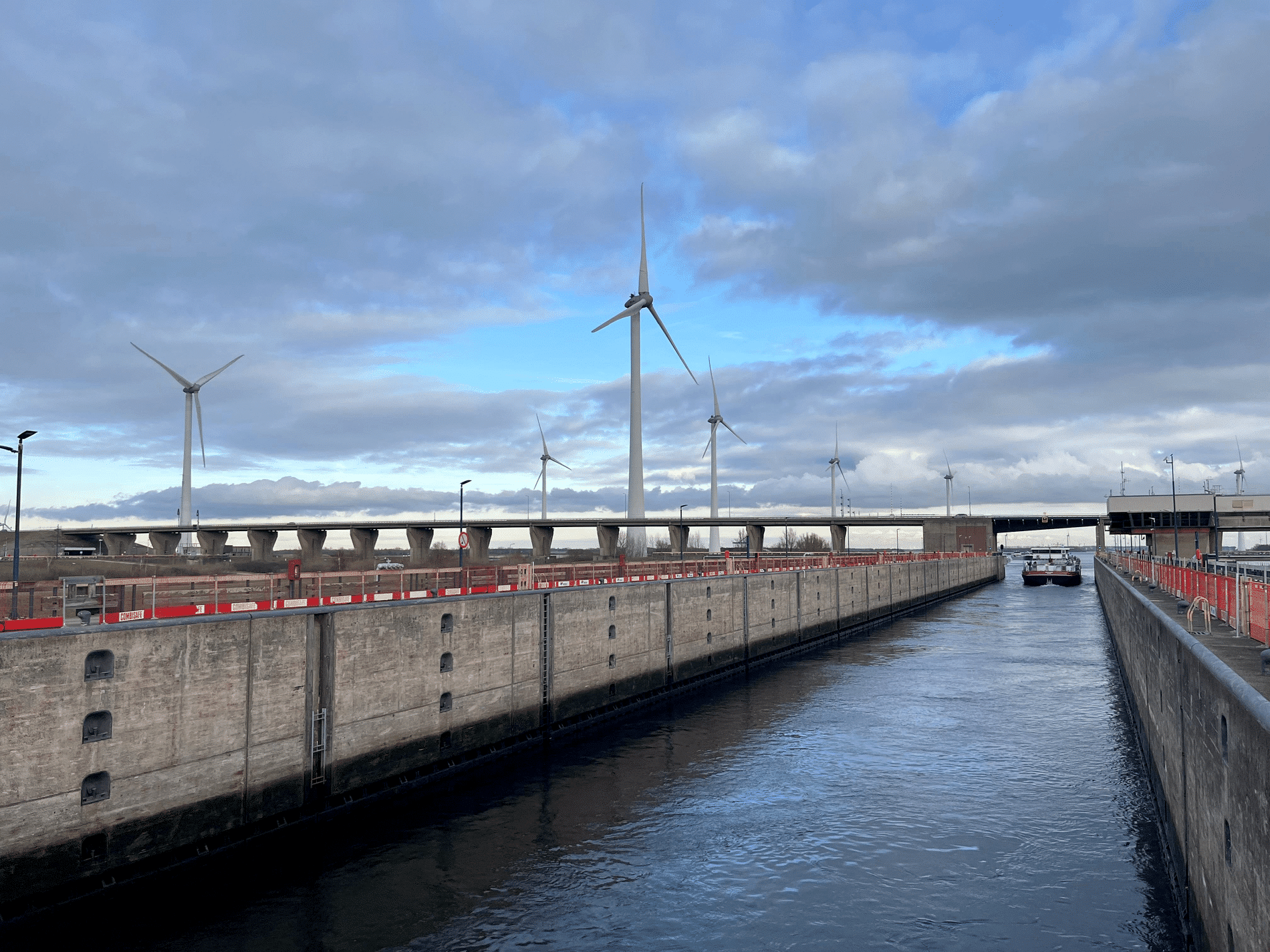
During the tender phase, Fugro also conducted geohydrological studies. This is because the screen to be installed for piping in front of the Maas water forms a barrier to groundwater flowing away to the Maas. "This study was designed to get a rough indication of the impact of the barrier on the hinterland," says Robin Lomulder, Senior Advisor on Geohydrology at Fugro. "We already came to the conclusion at the time that the construction of the project and the eventual realization of the piping screen would be possible without too many additional measures, working with drainage instead of all kinds of additional auxiliary constructions." After the contract was awarded, a number of monitoring wells were installed to further record the relationship between the Maas River and the groundwater level. "Waterschap Limburg also had measurement data from three flood waves. With all that data and current data, we were able to demonstrate that a high-water wave for the vast majority of the barrier has no negative effect on the groundwater level in the hinterland. Where it does, we install a drainage case in the new situation to control the groundwater level artificially and thus prevent basements from filling up. This method avoids extensive interventions, such as installing sheet piling around cellars. This also makes it an extremely sustainable solution."

The Dike Zone Alliance made a mock-up of the Vlotterkering® based on the design. Here, too, Fugro had an important role, mainly to demonstrate its operation with measurements. Fugro's experts then worked with the structural engineers to design the barrier's foundation. "The structure has to hold back high water, but all that water against the damper involves large horizontal forces. The tank is pushed aside, so to speak," clarifies Milan Hinborch, Senior Advisor for Hydraulic Engineering at Fugro. "It is then important to know what forces are exerted on the bucket, the sheet piling and foundation piles and how much counter-pressure the soil behind that structure provides. We collected all that data and then modeled it in software. An important part was the interaction between the geotechnical and structural models. Deformations and spring stiffnesses from the finite element method model (EEM model) were the input for the calculations of the concrete piles and supporting structure calculated by the structural engineers. By analyzing different design variants in multiple design runs, a design variant was chosen where the deformations of the structure consisting of a concrete box and steel flaps were limited."

Soil improvement was part of the solution. Soil testing showed that the subsoil is very heterogeneous. CPTs showed large differences between them at short distances from each other. There is a relatively thick clay layer under part of the newly constructed barrier. This is the result of clay deposits in an old stream channel of the Meuse. This soil structure proved to be normative for the forces in the construction. Fugro therefore conducted extensive soil investigations to map the entire clay channel. "In addition to probing, we used special techniques for this, such as electrical resistivity tomography (ERT) and even multi-channel analysis of surface waves (MASW), a seismic technique that uses density differences in different soil layers to measure the degree of vibration," says Arend. "This is because we wanted to map the soil structure to a depth of 20 meters, and not all geophysical techniques go that deep. So we plotted a line of measurement points and built a longitudinal and transverse profile based on this." Milan adds: "Because our models showed that the weak clay layer determined the behavior of the structure, we applied a soil improvement under and behind the structure, excavating the clay layer to one meter below the floor of the bin and replacing it with sand. In this way, the behavior of the structure becomes more reliable."

In this project, the soil balance remains as closed as possible, meaning that as little soil as possible is brought in and removed. Fugro is providing advice and advanced and routine testing in its own laboratory. Arend: "The clay that is excavated for soil improvement will soon be used for the revetment of the outer slope. We also inspect the quarry stone that is released for reuse. That alone leads to a CO2 saving of 234 tons (comparable to two transatlantic return flights), not to mention the many other sustainable solutions that have been put forward." This project once again demonstrates the versatile nature of Fugro as a Geo-data specialist in performing, analyzing and advising on soil surveys.
Fugro is the world's leading Geo-data specialist. We collect and analyze comprehensive information about the earth and the structures built on it. Through integrated data acquisition, analysis and consulting, we use Geo-data to reveal what is needed to help our clients design, build and operate their assets in a safe, sustainable and efficient manner. We [...]
Bekijk Bedrijfsprofiel