The critical design aspects of making level crossings safer
There are several low-loader sensitive railroad crossings in the Netherlands. As a result, there is a risk that a low loader will get stuck when it passes such an elevated level crossing. And that results in life-threatening situations.
The level crossings are listed in publicly available databases, such as the RDW digital road map and ProRail's flatbed booklet. These databases are important for transporters to rule out in advance that a vehicle could get stuck. The basic assumption when passing a level crossing is that this must be done within 15 seconds. If it is estimated to take longer, ProRail should be contacted.
One of the level crossings is the one at Stationsweg in Lisse. On this level crossing, agricultural vehicles drive which in the current situation hit the top of the crossing.

Content of the assignment
Iv-Infra was asked by ProRail to conceptually design several alternative road axes and/or track axes for this purpose that would eliminate the flatbed sensitivity. The level crossing at Stationsweg is a crossing with two tracks that lie in a curve. The superelevation introduced in the track leads to an unfavorable longitudinal profile of the road, as they are in the same plane, creating a "slope" for road traffic at the crossing. At the top of the slope, agricultural traffic hits the road, with the risk of getting stuck.

3D laser scanning
To figure out the best option, it is important to measure the exact location of the road and track. This is done by 3D laser scanning, combined with tachymetry and GNSS (satellite navigation).
In 3D laser scanning, a single scan is made at multiple locations. For each scan, the surroundings and multiple targets are measured. This is also done with a tachymeter to calculate the individual 3D scans very closely (± 3 mm) to each other (registration). The result of this registration is a complete 3D point cloud of the environment. In addition, GNSS are used to measure prominent points that are also visible in the 3D scan. Thus, the 3D point cloud can be determined in RD coordinates.
The advantage of 3D laser scanning in the above method is that the objects in the area are measured contactlessly in a relatively short period of time with a very high point density, without encroaching on the track. No out-of-service request needs to be made in the process.
The 3D point cloud is the basis for further processing, from which designs can be prepared.
Design process
To determine whether a level crossing is low loader sensitive, the so-called hazard class is calculated. An axle distance is assumed for the calculation. Based on the measurement of the road and track, the crossing/pole (in vertical direction) will be determined. The hazard class then follows from the formula.
Overpasses with a k-value ≤ 100 may present a danger of jamming. Practice shows that with a top arch of more than 200 meters, no problem arises. When making the concept design, the goal - after surveying - is to arrive at a k-value greater than 100.
There are several options for working out the designs. Removing the flatbed sensitivity can be done by modifying the tracks, the road or both. If the track is modified, it may prove necessary to increase the radius of the curve. This reduces superelevation and results in smaller elevation differences.
An alternative is to provide a more gradual road gradient toward the ramp in the level crossing.
A hybrid solution is also an option. In this case, for example, the tracks can be laid entirely lower, creating space in the road profile for more gradual connections to the level crossing.

Dealing with interfaces
When working out the designs, possible interfaces should also be taken into account. In the case of the level crossing in Lisse, consider existing cables and pipes, water management and the preservation of crossing safety. At the level crossing on Stationsweg, for example, recurring problems with the track alignment have been identified: so-called blind suspension (clappers). Blind suspension, in the unloaded condition, creates space between the underside of the sleeper and the ballast bed. When the track is loaded, inverting will be observed. When blind suspension takes more extreme forms, it is referred to as clappers.
Several causes exist for the occurrence of blind suspension. It is suspected that at this location, blowdowns continue to recur due to saturation of the soil with stormwater. Given this suspicion, it is important that when drafting the concept designs, a situation is not created that leads to worse water management. In addition, it can then always be decided to take additional measures with regard to water management.
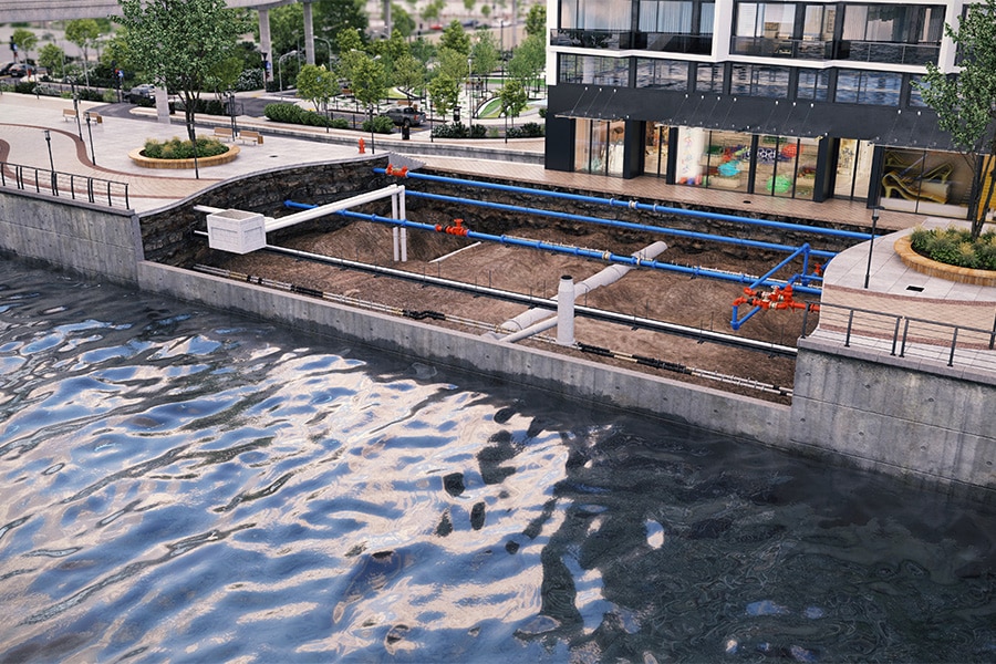
With regard to cables and pipes, these will always have to be inventoried in the first instance by means of a KLIC report, so that any limitations can be taken into consideration. Depending on the results, possible interfaces that limit the possibilities for adapting the road and/or track will have to be taken into account when working out the draft designs. We will also consider any negative impact on level crossing safety in the new situation. If it turns out that these cannot be avoided, we will propose additional measures.
In short, various aspects of level crossing safety must be taken into account in the design phase. In the coming period Iv-Infra will assess the situation at the level crossing in Lisse and come up with a balanced recommendation for improving the safety of the level crossing based on the criteria road traffic impact, rail traffic impact, costs and environmental impact.


