Platform on civil engineering, underground infrastructure, energy, construction equipment & construction machinery

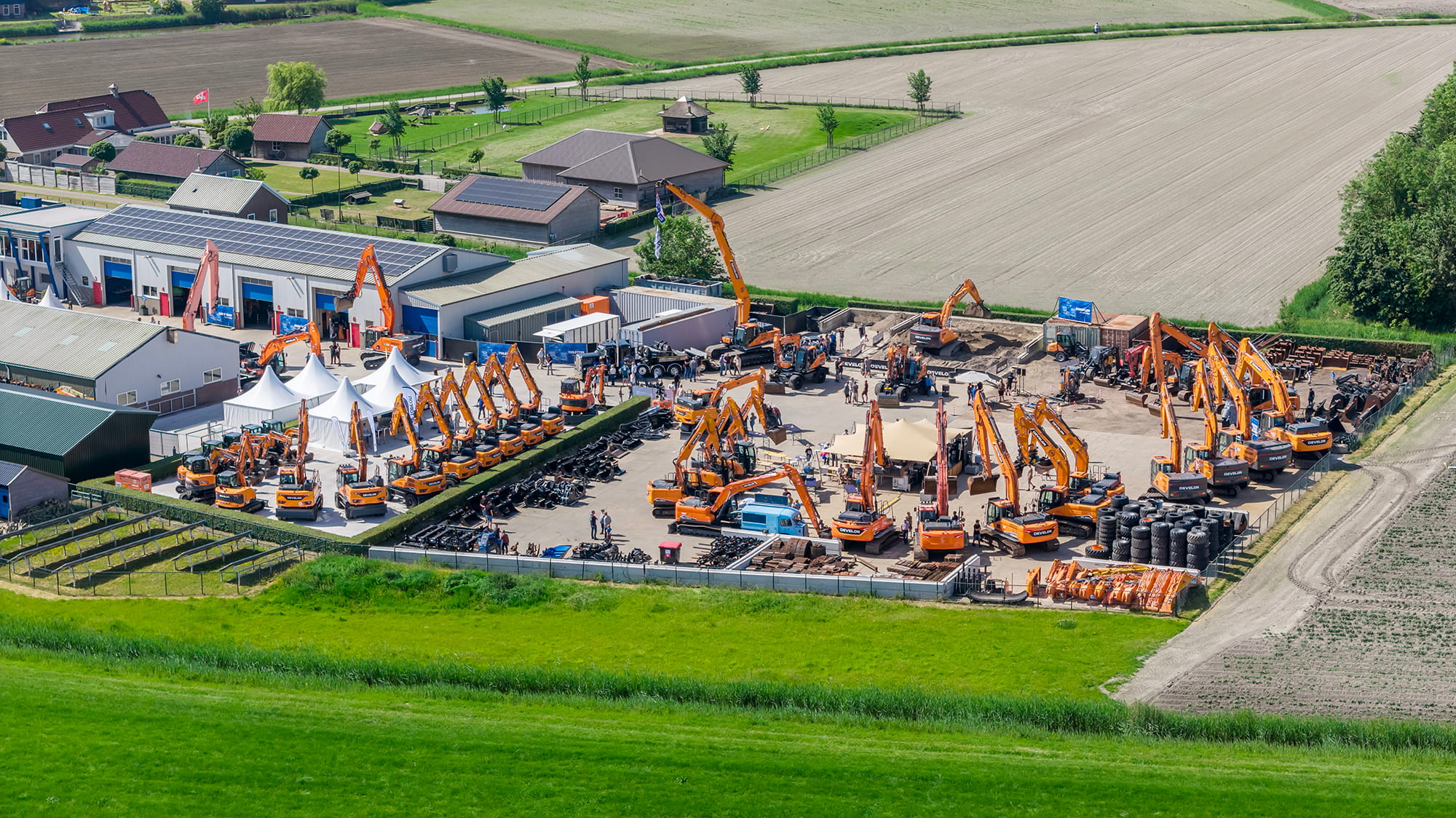
Drones offer a great opportunity to take photos and videos of landscapes, remote areas or urban buildings. It is a simple way of collecting data in 2D and 3D images, which provides accurate images. In addition, the acquisition of this data is much faster and requires less manpower than manual acquisition. But there are even more advantages of drone mapping. We highlight four of them.
An increasing amount of infrastructure is being built every year. Asset owners around the world are trying to solve the inspection problem; the problem that occurs when the quantity of assets increases while the number of qualified inspectors does not grow at the same rate. The pressure to solve this problem is greater today because of the increased speed at which we work, which means we need more information to perform inspections.

In the cloud-driven world, inspectors struggle to keep track of how information is disseminated. Organizations are looking for ways to automate manual work, such as through machine learning. In doing so, there is a need for methodologies to collect data that has been digitized from the beginning.
Inspection burden is reduced with repeatable inspection flights, requiring minimal expertise, thanks to a scalable cloud-based solution. For example, everything is set to the desired setting before the drone flight and photos are taken of the same areas with precision.
Drone mapping makes it possible to map hard-to-reach areas. Areas such as water barriers, heathland, marsh or unsafe areas such as a rough terrain or slope. Thus, areas that were previously inaccessible are properly mapped.
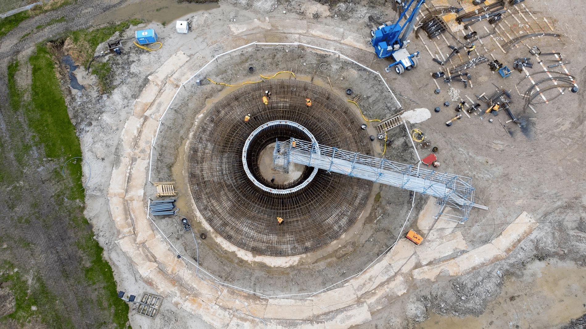
Drone 3D modeling makes it possible to perform volume calculations from the air. Using drone 3D modeling helps make faster and more accurate measurements of things like land, buildings and sidewalks. Previously, inspectors examined the ground at a site manually with a wheel. This is very time-consuming, especially on large projects. Now, with the click of a few buttons, they get the measurements directly in the cloud, with repeatable documentation for the exact location where the measurement was taken. With Site Scan for ArcGIS, among other tools, analyses can be performed to calculate volumes based on the data collected.
Digital Twins are modernizing the way organizations acquire and visualize data, integrate data and analyze information. Creating Digital Twins starts with data collection and acquisition. Drone technology helps gather real-time information as well as visualization. The possibilities with drone mapping are endless;
- 3D point clouds and meshes
- Orthomozaics
- Digital elevation models
- 360 panoramas
Above you can read about four of the key benefits of drone mapping, but there are many more. If your organization is planning to get started with drones and/or would like to explore the possibilities of drone mapping, check out our website to learn more about the products we offer from Esri Netherlands.
Neem dan rechtstreeks contact op met Esri Netherlands.
 Contact opnemen
Who we are A map connects people, wherever they are. Thanks to the insight that maps and geographic analysis provide, it is possible to make a difference. More than 350,000 organizations worldwide work with Esri's innovative technology every day. Forward-thinking organizations are solving business problems with Location Intelligence and uncovering new opportunities. In the Netherlands [...]
Bekijk Bedrijfsprofiel