Platform on civil engineering, underground infrastructure, energy, construction equipment & construction machinery

Geo-information technology, Building Information Models (BIM) and interactive 3D environments are becoming increasingly intertwined. This raises the question of how Digital Twins of the physical environment can play a role in simulating locations, entire cities or even larger spatial systems. Several organizations are left with questions about what role GIS
plays in the Digital Twin strategy. In this article you will read Esri's take on it.
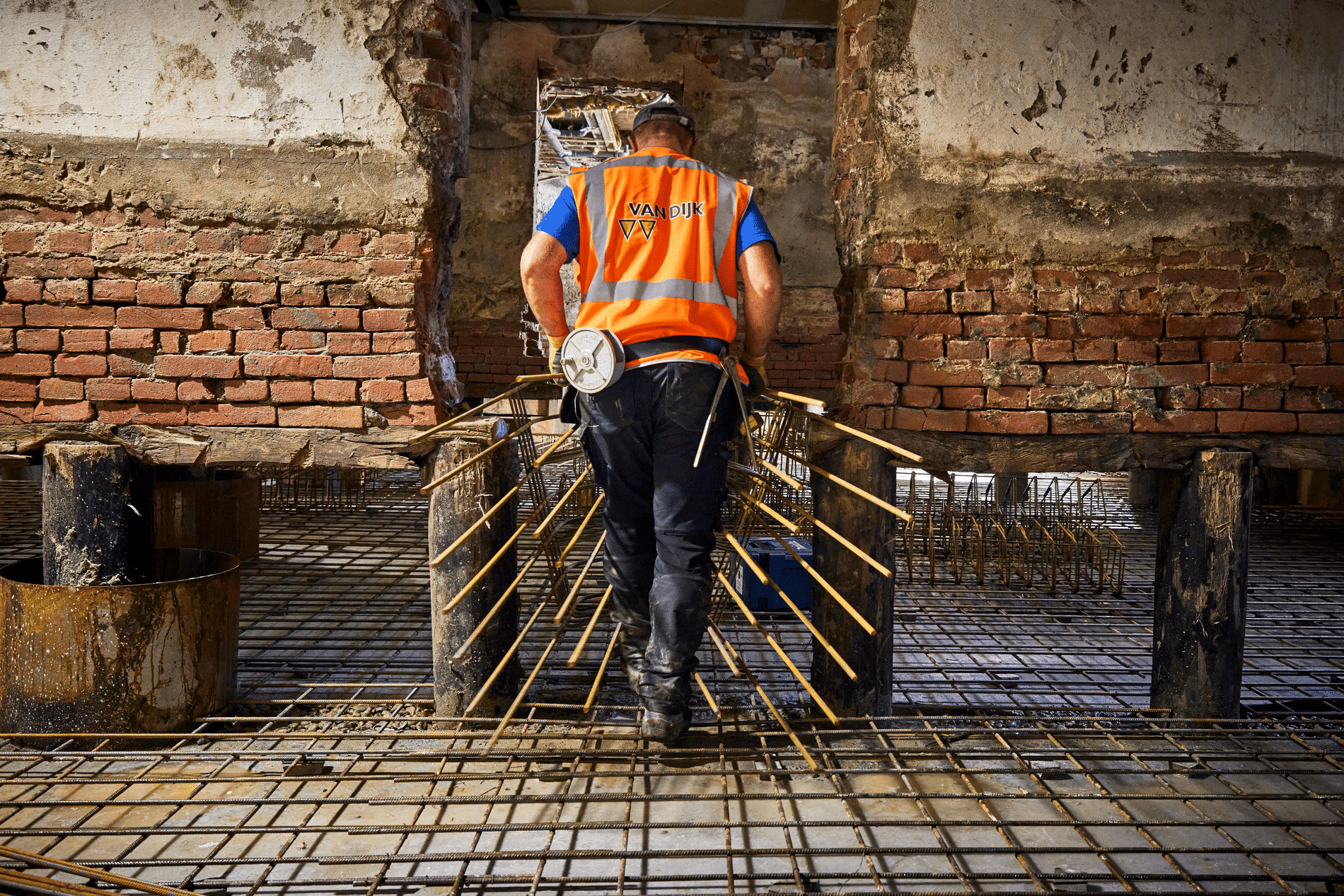
If the purpose of a Digital Twin is to provide insight into a historical state, performance or a future scenario, there is a direct benefit to including GIS data about the object or its immediate surroundings. GIS can be used to create a Digital Twin of natural environments and built environments and can be used to integrate different representations of the real world with each other.
For stand-alone objects, such as technical parts of an engine, the entire object can be excellently represented in an all-encompassing data model in which simulations are also performed to test hypotheses. For objects in the physical environment or natural systems, data on soil, asset material, weather, traffic, maintenance and cables and pipes are all stored in different data models. With different levels of detail, quality, resolution and different ownership. In this context, GIS is the only technology that provides a simple and understandable key to connect all this information, namely with location. Complex analysis can be applied to diverse data models and datasets.

GIS also offers possibilities for simulating various phenomena and dynamics in the world around us. For performing simple analyses, such as exploring the shadowing of new objects in the existing context, advanced geoprocessing workflows to analyze changes in large utility networks, for example, and presenting the results in a clear dashboard. In addition, GIS provides a platform for integrating various specialized analyses of traffic engineers, hydrologists or noise modelers with location as the common key. GIS thus also provides a stepping stone to a more vivid way of presentation through integrations with game engines for beautiful visualization, Virtual Reality and Augmented Reality experiences.
The possibilities of using geographic data in game engines to create beautiful renderings, VR experiences or AR experiences are expanding all the time. With the arrival of the ArcGIS Maps SDK for Unity & Unreal Engine, your Digital Twin can be streamed directly as web services to these two well-known game engines.

Currently, organizations can use GIS to combine photorealistic models, 3D, real-time feeds and dynamic data into interactive Digital Twins of complexes, transportation systems or cities. Tens of thousands of organizations worldwide are already working together to create an ever-improving foundation of Digital Twins in the Living Atlas of the World. Around this Living Atlas an ecosystem is emerging in which domain experts are adding intelligence in the form of predictive models, simulations, AI algorithms, Deep Learning packages and much more content for Digital Twins. These developments are happening tremendously fast, the Living Atlas is getting richer and richer, and the ecosystem is expanding. The components of the Digital Twins in this ecosystem are approachable through Open Standards, APIs, REST services and data formats that make integration with other enterprise systems as easy as possible. Based on these services, organizations can apply Digital Twins according to a "total experience" strategy - with explorations on mobile devices, tablets, computers, VR headsets and in other forms.
For decades, GIS has been helping organizations model, analyze and manage assets and systems to see the world as one ecosystem in which we can view tasks holistically. New developments in technology, such as game engines, real-time data feeds and extended reality offer attractive new opportunities to create more interactive, richer experiences for a wide audience. In order to explore and analyze the world around us. In the coming years, we will continue to take this development further in the areas of reality capture, integration with BIM, IoT developments, integration with management systems to provide an even richer set of capabilities to create, manage and analyze Digital Twins using geography. This provides a platform that helps to search for smart solutions to the tasks we are working on together.
What is a digital twin?
Digital Twins are virtual representations of the real world, such as physical objects, processes, relationships and behaviors. When we talk about Digital Twins in relation to GIS or geography, we are talking about virtual models of physical objects or natural systems in the world around us. These virtual models consist of information models, data, reports, analysis and a user experience. They are deployed to capture the current situation, monitor status and predict future scenarios. In addition, they are used to visualize changes over time. A status in the past, a representation of the current situation or in the future. It does not necessarily have to be an exact copy of the world right now, nor does it have to contain all the elements.
"THE digital does not exist, everyone can work from their own perspective to create a Digital Twin for the task they are facing in order to add value," said Niels van der Vaart, responsible for innovation at Esri Netherlands.
Neem dan rechtstreeks contact op met Esri Netherlands.
 Contact opnemen
Who we are A map connects people, wherever they are. Thanks to the insight that maps and geographic analysis provide, it is possible to make a difference. More than 350,000 organizations worldwide work with Esri's innovative technology every day. Forward-thinking organizations are solving business problems with Location Intelligence and uncovering new opportunities. In the Netherlands [...]
Bekijk Bedrijfsprofiel